Enable Location

We need your location to show you interesting places around you

Discover nearby places

Find interesting locations and hidden gems around you

Precise directions

Get accurate directions and distances to places

Your location is never shared with other users. It's only used when you tap the location button.

Webster County

Log in to your account

Start exploring — it's free

Trusted by 62,994 travelers worldwide

Continue with Google
Continue with Apple
or

We will send you a code to connect

By continuing, you accept our Terms and Conditions and our Privacy Policy

Check your inbox

We've sent a pincode in your inbox. Please enter the code below.

Discussion Reviews 1 Photos
12.5k Popularity

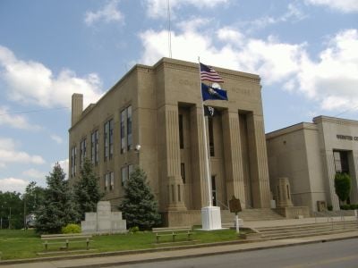
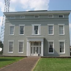
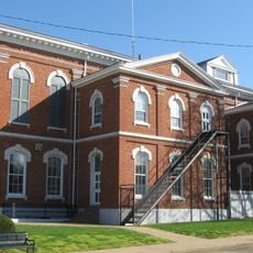
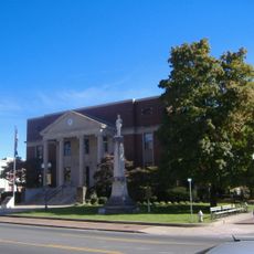
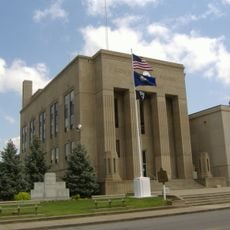
Webster County, Administrative county in Western Kentucky, United States

Webster County lies in the Western Coal Field region of Kentucky and includes both farmland and water bodies. The area is administered through five incorporated cities, with Dixon serving as the county seat.

The county was formed in 1860 from portions of Henderson, Hopkins, and Union Counties. It was named after Daniel Webster, an influential American statesman.

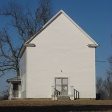
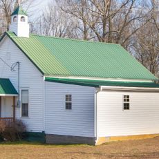
The area preserves rural traditions through local festivals and community gatherings that shape how residents connect. These events bring people together to celebrate their farming heritage and shared customs.

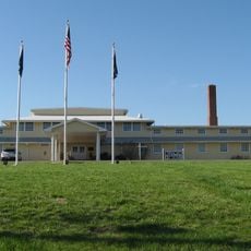
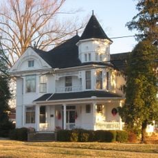
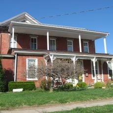
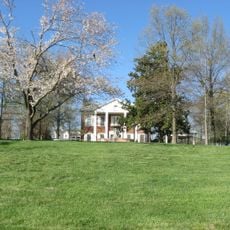
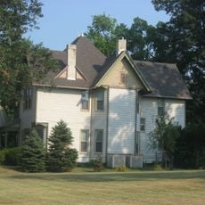
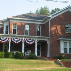
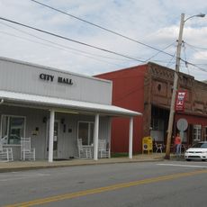
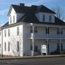
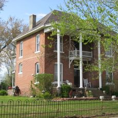
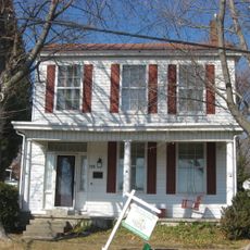
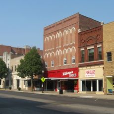
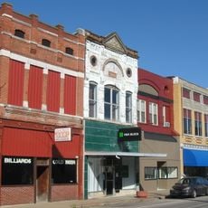
The county has various shops and services spread across its different towns. Visitors will find schools, medical facilities, and local businesses that support daily life.

Since 2018, only certain towns like Providence, Sebree, and Clay allow alcohol sales, while other communities follow stricter rules. These different regulations reflect the diverse values of local communities.

The community of curious travelers

AroundUs brings together thousands of curated places, local tips, and hidden gems, enriched daily by 60,000 contributors worldwide.

Start exploring
Location
Inception
February 29, 1860
Capital city
Dixon
Shares border with
Union County, Henderson County, McLean County, Hopkins County, Caldwell County, Crittenden County
GPS coordinates
37.52000,-87.68000
Latest update
December 7, 2025 20:44
Around this place
Battery Rock
United States of America

Battery Rock

35.4 km
Willard Carpenter House
United States of America

Willard Carpenter House

37 km
Hovey Lake Fish and Wildlife Area
United States of America

Hovey Lake Fish and Wildlife Area

39.9 km
Thompson and Powell Martyrs Monument
United States of America

Thompson and Powell Martyrs Monument

36.9 km
Confederate Monument of Morganfield
United States of America

Confederate Monument of Morganfield

28.2 km
Union County Courthouse
United States of America

Union County Courthouse

27.7 km
Camp Breckinridge Non-Commissioned Officers' Club
United States of America

Camp Breckinridge Non-Commissioned Officers' Club

25.4 km
South Main and South Elm Streets Historic District
United States of America

South Main and South Elm Streets Historic District

35.7 km
Madisonville Commercial Historic District
United States of America

Madisonville Commercial Historic District

26.7 km
McMullin-Warren House
United States of America

McMullin-Warren House

16.9 km
Daniel H. Hughes House
United States of America

Daniel H. Hughes House

27.8 km
United States of America

Zion Brick Missionary Church

17.9 km
Beulah Lodge
United States of America

Beulah Lodge

27.7 km
George N. Proctor House
United States of America

George N. Proctor House

26.4 km
J. Hawkins Hart House
United States of America

J. Hawkins Hart House

36 km
Barret House
United States of America

Barret House

35.9 km
Hanson Historic District
United States of America

Hanson Historic District

20.9 km
Beckley Jackson House
United States of America

Beckley Jackson House

15.7 km
Webster County Courthouse
United States of America

Webster County Courthouse

1 km
Geibel House
United States of America

Geibel House

36.8 km
The Darby House
United States of America

The Darby House

39.4 km
Providence Commercial Historic District
United States of America

Providence Commercial Historic District

15.5 km
W.W. Kington House
United States of America

W.W. Kington House

36.2 km
Alves Historic District
United States of America

Alves Historic District

36 km
Griffith-Franklin House
United States of America

Griffith-Franklin House

37.1 km
Henderson Commercial District
United States of America

Henderson Commercial District

36.5 km
Morganfield Commercial District
United States of America

Morganfield Commercial District

27.8 km
Cranor School
United States of America

Cranor School

44.3 km
Show the full map
Reviews
Share your experience

No review yet

Discussions
Start a discussion...

No discussion yet

« Webster County - Administrative county in Western Kentucky, United States » is provided by Around Us (aroundus.com). Images and texts are derived from Wikimedia project under a Creative Commons license. You are allowed to copy, distribute, and modify copies of this page, under the conditions set by the license, as long as this note is clearly visible.

Discover hidden gems everywhere you go!

From secret cafés to breathtaking viewpoints, skip the crowded tourist spots and find places that match your style. Our app makes it easy with voice search, smart filtering, route optimization, and insider tips from travelers worldwide. Download now for the complete mobile experience.

Around Us App Screenshot

A unique approach to discovering new places

Le Figaro

All the places worth exploring

France Info

A tailor-made excursion in just a few clicks

20 Minutes

Around Us
Travel Guide & Maps
Download

Send to your phone

QR Code
1

Open the camera app on your mobile.

2

Point at the QR code with your camera. A notification will appear.

3

Tap the notification to open the link.