Northampton County

Log in to your account

AroundUs is a community-driven map of interesting places, built by curious explorers like you. It grows with every review, story, and photo you share.
Connect to save your favorite spots, contribute locations, and create personalized routes.
Continue with Google
Continue with Apple
Continue with X
Continue with Facebook
Continue with email
By continuing, you accept our Terms and Conditions and our Privacy Policy
Create an account
Add to collection
Map
Suggest a change
Share

Northampton County, Administrative county in northeastern North Carolina, United States.

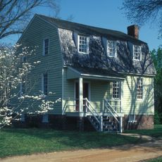
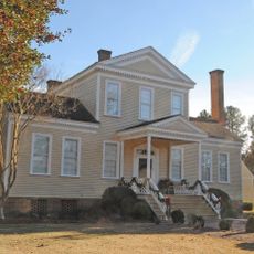
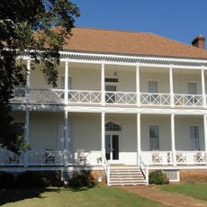
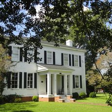
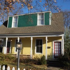
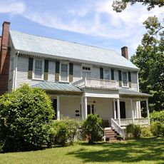
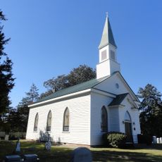
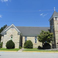
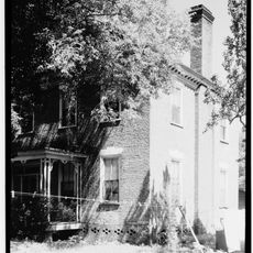
Northampton County is an administrative region in northeastern North Carolina comprising nine townships including Kirby, Gaston, Jackson, and Oconeechee spread across its territory. The county features a rural landscape with scattered communities and small town centers serving as local hubs.

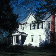
The county was established in 1741 as one of the original administrative divisions created during colonial expansion in North Carolina. This early founding shaped the region's development and connected it to broader colonial settlement patterns across the state.

The townships across the county each host their own community gatherings and local events throughout the year, allowing residents to maintain distinct identities. This decentralized approach means that different areas preserve their own traditions while remaining connected to the broader county community.

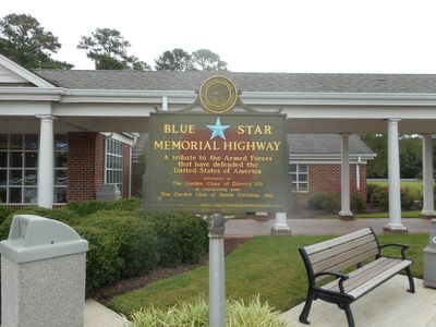
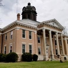
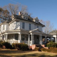
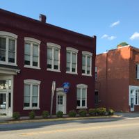
Jackson serves as the county seat where most government offices and administrative services are centrally located for residents and visitors. Finding permits, licenses, and official documents requires visiting this town as the main administrative hub.

The county shares borders with seven different neighboring jurisdictions, making it a crossroads where regional connections naturally occur. This boundary location historically facilitated trade and communication flowing between multiple adjacent counties.

Location: North Carolina

Inception: 1741

Capital city: Jackson

Shares border with: Greensville County, Southampton County, Hertford County, Bertie County, Halifax County, Warren County, Brunswick County

Website: http://northamptonnc.com

GPS coordinates: 36.42000,-77.40000

Latest update: December 7, 2025 10:06

Photos
Around this place
Lake Gaston
United States of America

Lake Gaston

44.2 km
Medoc Mountain State Park
United States of America

Medoc Mountain State Park

46.5 km
Halifax Historic District
United States of America

Halifax Historic District

19.5 km
The Hermitage
United States of America

The Hermitage

22 km
Mowfield
United States of America

Mowfield

6.1 km
William R. Davie House
United States of America

William R. Davie House

19.8 km
Amis-Bragg House
United States of America

Amis-Bragg House

3.7 km
Roanoke Rapids Historic District
United States of America

Roanoke Rapids Historic District

23.4 km
The Cellar
United States of America

The Cellar

35.9 km
Halifax County Courthouse
United States of America

Halifax County Courthouse

19.7 km
Shell Castle
United States of America

Shell Castle

37.7 km
St. Mark's Episcopal Church
United States of America

St. Mark's Episcopal Church

20.1 km
Halifax County Home and Tubercular Hospital
United States of America

Halifax County Home and Tubercular Hospital

21.2 km
John Wheeler House
United States of America

John Wheeler House

27.2 km
Sally-Billy House
United States of America

Sally-Billy House

19.4 km
Church of the Immaculate Conception
United States of America

Church of the Immaculate Conception

20.1 km
The Columns
United States of America

The Columns

27 km
Oakland
United States of America

Oakland

44.4 km
Garysburg United Methodist Church and Cemetery
United States of America

Garysburg United Methodist Church and Cemetery

14.8 km
Church of the Saviour and Cemetery
United States of America

Church of the Saviour and Cemetery

3.8 km
Weldon Historic District
United States of America

Weldon Historic District

17.7 km
Woodland-Olney School
United States of America

Woodland-Olney School

19.2 km
Roberts-Vaughan House
United States of America

Roberts-Vaughan House

27 km
Melrose
United States of America

Melrose

27 km
Samuel Warren Branch House
United States of America

Samuel Warren Branch House

32.1 km
David A. Barnes House
United States of America

David A. Barnes House

26.1 km
Mason-Hardee-Capel House
United States of America

Mason-Hardee-Capel House

10.5 km
Freeman House
United States of America

Freeman House

27 km
Show the full map
Reviews

Visited this place? Tap the stars to rate it and share your experience / photos with the community! Try now! You can cancel it anytime.

Administrative divisions
« Northampton County - Administrative county in northeastern North Carolina, United States » is provided by Around Us (aroundus.com). Images and texts are derived from Wikimedia project under a Creative Commons license. You are allowed to copy, distribute, and modify copies of this page, under the conditions set by the license, as long as this note is clearly visible.

Discover hidden gems everywhere you go!

From secret cafés to breathtaking viewpoints, skip the crowded tourist spots and find places that match your style. Our app makes it easy with voice search, smart filtering, route optimization, and insider tips from travelers worldwide. Download now for the complete mobile experience.

Around Us App Screenshot

A unique approach to discovering new places

Le Figaro

All the places worth exploring

France Info

A tailor-made excursion in just a few clicks

20 Minutes