Enable Location

We need your location to show you interesting places around you

Discover nearby places

Find interesting locations and hidden gems around you

Precise directions

Get accurate directions and distances to places

Your location is never shared with other users. It's only used when you tap the location button.

Langlade County

Log in to your account

Start exploring — it's free

Trusted by 62,937 travelers worldwide

Continue with Google
Continue with Apple
or

We will send you a code to connect

By continuing, you accept our Terms and Conditions and our Privacy Policy

Check your inbox

We've sent a pincode in your inbox. Please enter the code below.

Discussion Reviews 1 Photos
12.6k Popularity

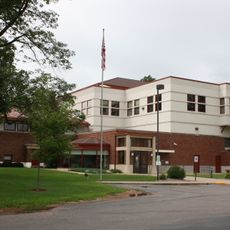
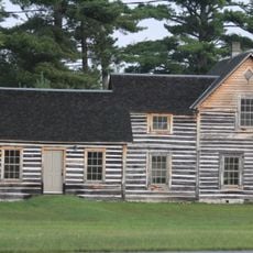
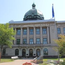
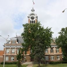
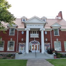
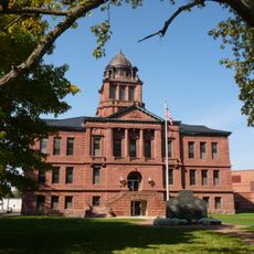
Langlade County, County in northern Wisconsin, United States

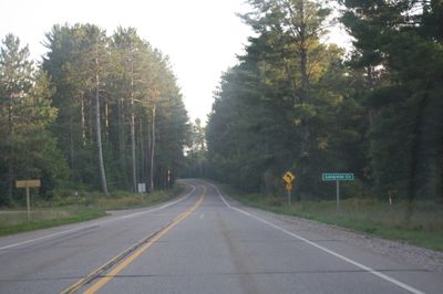
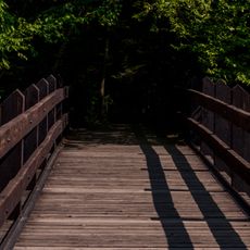
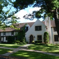
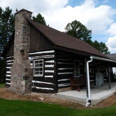
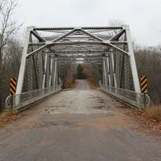
Langlade County is an administrative division in northern Wisconsin known for its extensive forested landscape and outdoor recreational opportunities. The region features numerous lakes, hiking trails, and access to hunting and fishing grounds throughout the year.

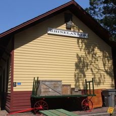
The territory was established in 1879 initially as New County and renamed in 1880 to honor Charles de Langlade, a significant frontier figure. It became fully organized as an administrative unit in 1881.

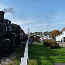
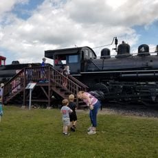
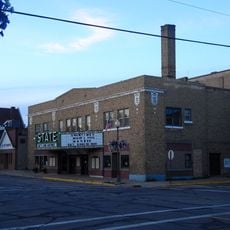
The county maintains multiple community traditions through annual events such as farmers markets, a Community Christmas Parade, and the Annual Chili Cook-Off.

Visitor centers in the area provide maps and guidance for exploring outdoor activities available throughout the county. Summer months offer ideal conditions for hiking and water activities, while winter brings excellent snowmobile trail conditions.

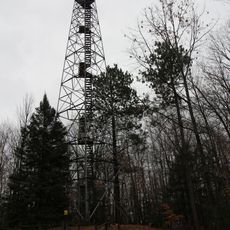
The highest point in Langlade County stands at 1,857 feet above sea level at the foot of the Basswood Lookout Tower, west of Summit Lake.

The community of curious travelers

AroundUs brings together thousands of curated places, local tips, and hidden gems, enriched daily by 60,000 contributors worldwide.

Start exploring
Location
Inception
1879
Capital city
Antigo
Shares border with
Oneida County, Forest County, Oconto County, Menominee County, Shawano County, Marathon County, Lincoln County
GPS coordinates
45.21667,-89.00000
Latest update
December 7, 2025 20:44
Around this place
Dells of the Eau Claire County Park
United States of America

Dells of the Eau Claire County Park

36 km
Charles L. Manson House
United States of America

Charles L. Manson House

55.5 km
United States of America

Lumberjack Steam Train

45.7 km
Leigh Yawkey Woodson Art Museum
United States of America

Leigh Yawkey Woodson Art Museum

55.9 km
Pioneer Park Historical Complex
United States of America

Pioneer Park Historical Complex

56.5 km
Mountain Fire Lookout Tower
United States of America

Mountain Fire Lookout Tower

42 km
Camp Five Museum
United States of America

Camp Five Museum

45.9 km
D. C. Everest House
United States of America

D. C. Everest House

55.7 km
Chute Pond Dam
United States of America

Chute Pond Dam

44.7 km
T.B. Scott Free Library
United States of America

T.B. Scott Free Library

55.2 km
Dinesen-Motzfeldt-Hettinger Log House
United States of America

Dinesen-Motzfeldt-Hettinger Log House

30.2 km
Oneida County Courthouse
United States of America

Oneida County Courthouse

56.6 km
Lincoln County Courthouse
United States of America

Lincoln County Courthouse

53.8 km
Antigo Public Library and Deleglise Cabin
United States of America

Antigo Public Library and Deleglise Cabin

14.8 km
Antigo Opera House
United States of America

Antigo Opera House

15 km
Merrill City Hall
United States of America

Merrill City Hall

54.3 km
Minertown-Oneva
United States of America

Minertown-Oneva

34.6 km
Lutheran Indian Mission
United States of America

Lutheran Indian Mission

42.2 km
Solon and Mathilda Sutliff House
United States of America

Solon and Mathilda Sutliff House

56.7 km
First National Bank
United States of America

First National Bank

56.9 km
First Street Bridge (Merrill, Wisconsin)
United States of America

First Street Bridge (Merrill, Wisconsin)

55.3 km
C. F. Dunbar House
United States of America

C. F. Dunbar House

56 km
Chicago and North-Western Land Office
United States of America

Chicago and North-Western Land Office

36.3 km
Lumberjack Steam Train & Camp 5 Museum
United States of America

Lumberjack Steam Train & Camp 5 Museum

45.7 km
PPHC - Railroad Museum
United States of America

PPHC - Railroad Museum

56.1 km
Langlade County Courthouse
United States of America

Langlade County Courthouse

14.6 km
State Theatre
United States of America

State Theatre

57 km
Smyth Road Bridge
United States of America

Smyth Road Bridge

47.1 km
Show the full map
Reviews
Share your experience

No review yet

Discussions
Start a discussion...

No discussion yet

Administrative divisions
« Langlade County - County in northern Wisconsin, United States » is provided by Around Us (aroundus.com). Images and texts are derived from Wikimedia project under a Creative Commons license. You are allowed to copy, distribute, and modify copies of this page, under the conditions set by the license, as long as this note is clearly visible.

Discover hidden gems everywhere you go!

From secret cafés to breathtaking viewpoints, skip the crowded tourist spots and find places that match your style. Our app makes it easy with voice search, smart filtering, route optimization, and insider tips from travelers worldwide. Download now for the complete mobile experience.

Around Us App Screenshot

A unique approach to discovering new places

Le Figaro

All the places worth exploring

France Info

A tailor-made excursion in just a few clicks

20 Minutes

Around Us
Travel Guide & Maps
Download

Send to your phone

QR Code
1

Open the camera app on your mobile.

2

Point at the QR code with your camera. A notification will appear.

3

Tap the notification to open the link.