Enable Location

We need your location to show you interesting places around you

Discover nearby places

Find interesting locations and hidden gems around you

Precise directions

Get accurate directions and distances to places

Your location is never shared with other users. It's only used when you tap the location button.

Davie County

Log in to your account

Start exploring — it's free

Trusted by 62,036 travelers worldwide

Continue with Google
Continue with Apple
or

We will send you a code to connect

By continuing, you accept our Terms and Conditions and our Privacy Policy

Check your inbox

We've sent a pincode in your inbox. Please enter the code below.

Davie County, Administrative county in Piedmont region, North Carolina, US.

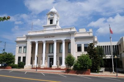
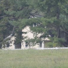
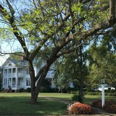
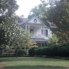
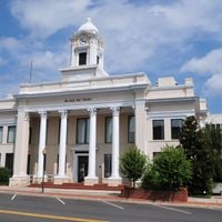
Davie County is an administrative county in North Carolina's Piedmont region covering about 266 square miles between the Yadkin River and several creeks. Mocksville, the county seat, serves as the center for government services and is surrounded by three incorporated towns and multiple townships.

The county was established in 1836 by the North Carolina General Assembly from a section of Rowan County and named after Governor William R. Davie. Its creation reflected regional growth in the Piedmont during that period.

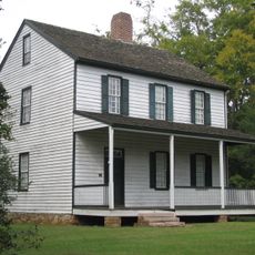
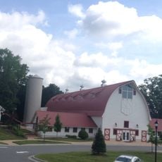
The county retains deep roots in farming and wine production, especially in the Yadkin Valley where vineyards and agricultural operations shape the local character.

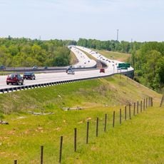
The area is best explored by car since towns and rural areas spread across a road network. Visitors can find information and services in Mocksville, where the main government center is conveniently located.

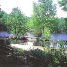
The Yadkin River forms the northern boundary and provides not just water resources but also crucial wildlife habitats that attract diverse species. This waterway is central to the local landscape and ecology.

The community of curious travelers

AroundUs brings together thousands of curated places, local tips, and hidden gems, enriched daily by 60,000 contributors worldwide.

Start exploring
Location
Inception
1836
Capital city
Mocksville
Shares border with
Yadkin County, Forsyth County, Davidson County, Rowan County, Iredell County
GPS coordinates
35.93000,-80.54000
Latest update
December 7, 2025 19:23
Around this place
North Carolina Transportation Museum
United States of America

North Carolina Transportation Museum

28.6 km
United States of America

Boone's Cave Park

16.3 km
Cooleemee
United States of America

Cooleemee

14.5 km
Richard Childress Racing Museum
United States of America

Richard Childress Racing Museum

25.8 km
Jesse Helms Center
United States of America

Jesse Helms Center

10.9 km
Allison Woods
United States of America

Allison Woods

25.6 km
Southern Railway's Spencer Shops
United States of America

Southern Railway's Spencer Shops

28.6 km
Sacred Heart Catholic Church
United States of America

Sacred Heart Catholic Church

24.8 km
Hinton Rowan Helper House
United States of America

Hinton Rowan Helper House

6.4 km
Daltonia
United States of America

Daltonia

20.4 km
Yadkin River Veterans Memorial Bridge
United States of America

Yadkin River Veterans Memorial Bridge

27.1 km
John Steele House
United States of America

John Steele House

29.4 km
Win-Mock Farm Dairy
United States of America

Win-Mock Farm Dairy

13.9 km
Mount Zion Baptist Church
United States of America

Mount Zion Baptist Church

29.6 km
Erlanger Mill Village Historic District
United States of America

Erlanger Mill Village Historic District

27.5 km
Grimes School
United States of America

Grimes School

27.8 km
Walter McCanless House
United States of America

Walter McCanless House

28.2 km
Downtown Mocksville Historic District
United States of America

Downtown Mocksville Historic District

4.4 km
Monroe Street School
United States of America

Monroe Street School

29 km
Davie County Courthouse
United States of America

Davie County Courthouse

4.5 km
Philip Sowers House
United States of America

Philip Sowers House

17 km
Grimes Mill
United States of America

Grimes Mill

29.4 km
Christ Episcopal Church
United States of America

Christ Episcopal Church

24.7 km
Shober Bridge
United States of America

Shober Bridge

29.2 km
Kesler Manufacturing Co.-Cannon Mills Co. Plant No. 7 Historic District
United States of America

Kesler Manufacturing Co.-Cannon Mills Co. Plant No. 7 Historic District

29.1 km
Jesse Clement House
United States of America

Jesse Clement House

5 km
Ellis Street Graded School Historic District
United States of America

Ellis Street Graded School Historic District

29.4 km
Grubb-Sigmon-Weisiger House
United States of America

Grubb-Sigmon-Weisiger House

27.2 km
Show the full map
« Davie County - Administrative county in Piedmont region, North Carolina, US » is provided by Around Us (aroundus.com). Images and texts are derived from Wikimedia project under a Creative Commons license. You are allowed to copy, distribute, and modify copies of this page, under the conditions set by the license, as long as this note is clearly visible.

Discover hidden gems everywhere you go!

From secret cafés to breathtaking viewpoints, skip the crowded tourist spots and find places that match your style. Our app makes it easy with voice search, smart filtering, route optimization, and insider tips from travelers worldwide. Download now for the complete mobile experience.

Around Us App Screenshot

A unique approach to discovering new places

Le Figaro

All the places worth exploring

France Info

A tailor-made excursion in just a few clicks

20 Minutes

Around Us
Travel Guide & Maps
Download

Send to your phone

QR Code
1

Open the camera app on your mobile.

2

Point at the QR code with your camera. A notification will appear.

3

Tap the notification to open the link.