Gates County

Log in to your account

AroundUs is a community-driven map of interesting places, built by curious explorers like you. It grows with every review, story, and photo you share.
Connect to save your favorite spots, contribute locations, and create personalized routes.
Continue with Google
Continue with Apple
Continue with X
Continue with Facebook
Continue with email
By continuing, you accept our Terms and Conditions and our Privacy Policy
Create an account
Add to collection
Map
Suggest a change
Share

Gates County, Rural county in eastern North Carolina, United States.

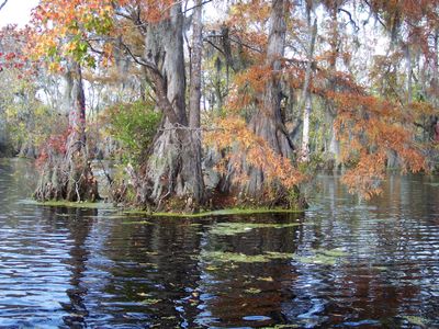
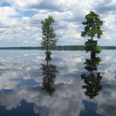
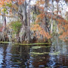
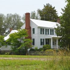
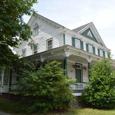
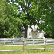
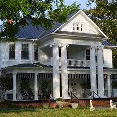
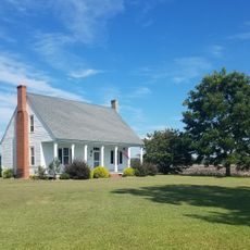
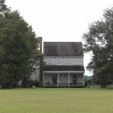
Gates County is a rural county in eastern North Carolina covering approximately 346 square miles of farmland and forests. Rivers and wetlands of the Albemarle region run through its landscape, shaping the terrain across the predominantly agricultural territory.

The county was established in 1779 and named after General Horatio Gates, a key Revolutionary War commander. It was formed from portions of three neighboring counties: Chowan, Hertford, and Perquimans.

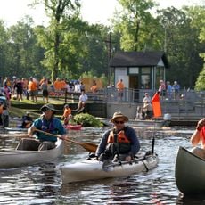
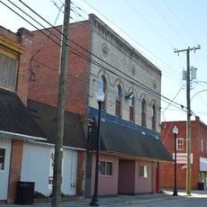
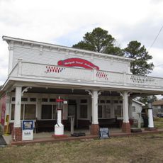
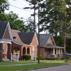
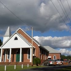
The county maintains its rural character through farming traditions and local festivals that shape community life across its towns. These gatherings show how residents celebrate their connection to the land and to each other.

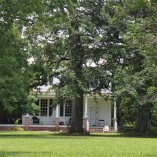
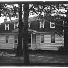
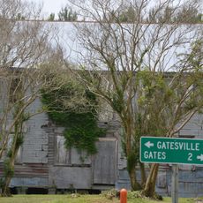
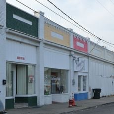
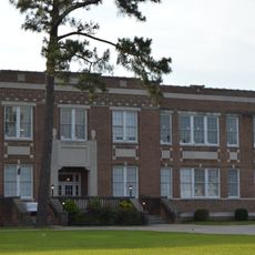
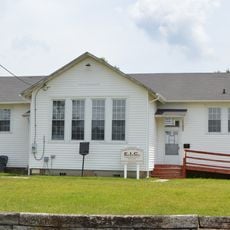
Gatesville serves as the administrative center, providing government services and basic facilities for residents across this rural area. The county is sparsely populated and traveling between communities typically requires a personal vehicle.

The county is divided into seven distinct townships, each managing its own local affairs and community identity. This decentralized structure allows smaller communities to maintain their individual character and traditions.

Location: North Carolina

Inception: 1779

Capital city: Gatesville

Shares border with: Suffolk, Camden County, Pasquotank County, Perquimans County, Chowan County, Southampton County, Hertford County

Website: http://gatescounty.govoffice2.com

GPS coordinates: 36.44000,-76.70000

Latest update: December 7, 2025 10:07

Photos
Around this place
Dismal Swamp Canal
United States of America

Dismal Swamp Canal

31.4 km
Great Dismal Swamp National Wildlife Refuge
United States of America

Great Dismal Swamp National Wildlife Refuge

27.5 km
Dismal Swamp State Park
United States of America

Dismal Swamp State Park

26.6 km
Merchants Millpond State Park
United States of America

Merchants Millpond State Park

1.4 km
Elmwood Plantation
United States of America

Elmwood Plantation

5.1 km
Belvidere
United States of America

Belvidere

23.5 km
Holland Historic District (Suffolk, Virginia)
United States of America

Holland Historic District (Suffolk, Virginia)

27.9 km
Buckland
United States of America

Buckland

7.1 km
Oak Crest
United States of America

Oak Crest

30.6 km
Sunbury High School
United States of America

Sunbury High School

9 km
Somerton Historic District
United States of America

Somerton Historic District

15 km
Mount Sinai Baptist Church
United States of America

Mount Sinai Baptist Church

25 km
Ahoskie Downtown Historic District
United States of America

Ahoskie Downtown Historic District

30.9 km
Freeman House
United States of America

Freeman House

13.3 km
Eure-Roberts House
United States of America

Eure-Roberts House

6 km
Ahoskie School
United States of America

Ahoskie School

31 km
Morgan House
United States of America

Morgan House

32.9 km
Whaleyville Historic District
United States of America

Whaleyville Historic District

16.8 km
Ahoskie Historic District
United States of America

Ahoskie Historic District

30.7 km
Roberts H. Jernigan House
United States of America

Roberts H. Jernigan House

30.7 km
Gray Gables
United States of America

Gray Gables

21.6 km
Gates County Courthouse
United States of America

Gates County Courthouse

6.3 km
Nansemond County Training School
United States of America

Nansemond County Training School

24.1 km
The Cedars
United States of America

The Cedars

33.5 km
Reid's Grove School
United States of America

Reid's Grove School

5.8 km
Cullen and Elizabeth Jones House
United States of America

Cullen and Elizabeth Jones House

28.7 km
Mitchell-Ward House
United States of America

Mitchell-Ward House

21.8 km
Zion Christian Church, Suffolk, Virginia
United States of America

Zion Christian Church, Suffolk, Virginia

24.4 km
Show the full map
Reviews

Visited this place? Tap the stars to rate it and share your experience / photos with the community! Try now! You can cancel it anytime.

Administrative divisions
« Gates County - Rural county in eastern North Carolina, United States » is provided by Around Us (aroundus.com). Images and texts are derived from Wikimedia project under a Creative Commons license. You are allowed to copy, distribute, and modify copies of this page, under the conditions set by the license, as long as this note is clearly visible.

Discover hidden gems everywhere you go!

From secret cafés to breathtaking viewpoints, skip the crowded tourist spots and find places that match your style. Our app makes it easy with voice search, smart filtering, route optimization, and insider tips from travelers worldwide. Download now for the complete mobile experience.

Around Us App Screenshot

A unique approach to discovering new places

Le Figaro

All the places worth exploring

France Info

A tailor-made excursion in just a few clicks

20 Minutes