
Hopedale, town in Massachusetts
Location: Worcester County
Inception: 1660
Elevation above the sea: 85 m
Shares border with: Milford
Website: http://hopedale-ma.gov
GPS coordinates: 42.13056,-71.54167
Latest update: March 22, 2025 05:06

Southwick's Zoo
8.2 km
Stanley Woolen Mill
8.6 km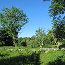
Cormier Woods
8.1 km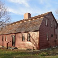
Coronet John Farnum, Jr., House
9.2 km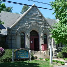
Bancroft Memorial Library
31 m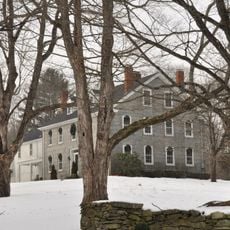
Nathan C. Aldrich House and Resthaven Chapel
4.9 km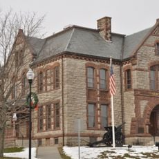
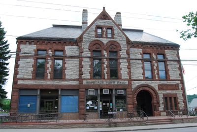
Memorial Hall
2.2 km
PiNZ Bowl
1.9 km
Prospect Heights Historic District
1 km
Rockdale Common Housing District
9 km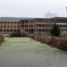
Central Woolen Mills District
8.5 km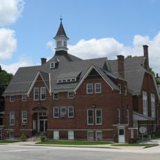
Upton Town Hall
6.4 km
Charles Capron House
9.2 km
E. Albee House
8.2 km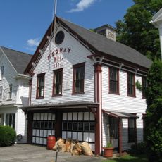
Rabbit Hill Historic District
9 km
East Blackstone Friends Meetinghouse
8.8 km
Azariah Newton House
4.1 km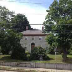
Richard Sayles House
6 km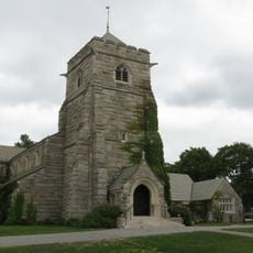
Hopedale Village Historic District
414 m
Israel Southwick House
9.1 km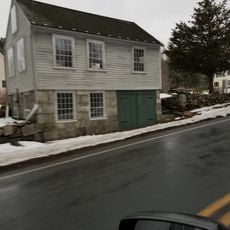
Olney Cook Artisan Shop
4.3 km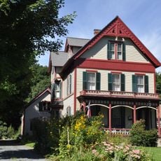
R. Farnum House
9 km
Upton Center Historic District
7 km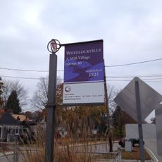
Wheelockville District
8.1 km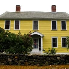
North Avenue Rural Historic District
2.1 km
Mendon Center Historic District
3 km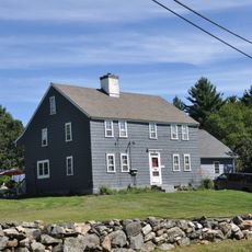
W. Aldrich House
7.4 km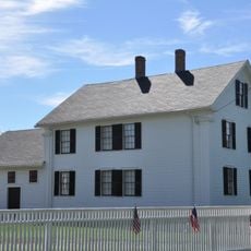
Southwick-Daniels Farm
8.2 kmVisited this place? Tap the stars to rate it and share your experience / photos with the community! Try now! You can cancel it anytime.
Discover hidden gems everywhere you go!
From secret cafés to breathtaking viewpoints, skip the crowded tourist spots and find places that match your style. Our app makes it easy with voice search, smart filtering, route optimization, and insider tips from travelers worldwide. Download now for the complete mobile experience.

A unique approach to discovering new places❞
— Le Figaro
All the places worth exploring❞
— France Info
A tailor-made excursion in just a few clicks❞
— 20 Minutes