Fillmore County

Log in to your account

AroundUs is a community-driven map of interesting places, built by curious explorers like you. It grows with every review, story, and photo you share.
Connect to save your favorite spots, contribute locations, and create personalized routes.
Continue with Google
Continue with Apple
Continue with X
Continue with Facebook
Continue with email
By continuing, you accept our Terms and Conditions and our Privacy Policy
Create an account
Add to collection
Map
Suggest a change
Share

Fillmore County, County in Nebraska, United States

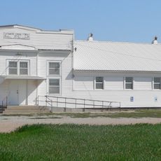
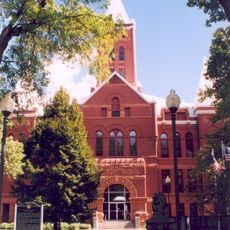
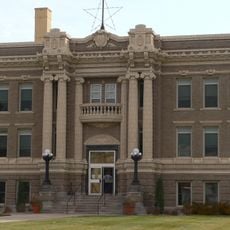
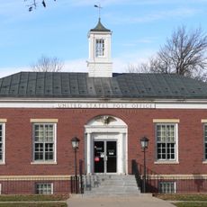
Fillmore County is an administrative region in eastern Nebraska containing eight municipalities, with Geneva serving as the main administrative hub. The area is dominated by farmland and rural communities spread across the territory.

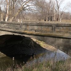
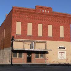
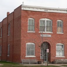
The territory officially became a county in 1871 and was named after the 13th U.S. president. That same year, railroad construction arrived and connected the scattered settlements into a functioning network.

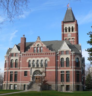
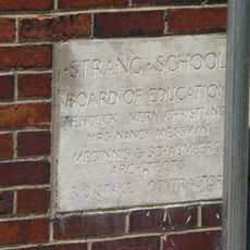
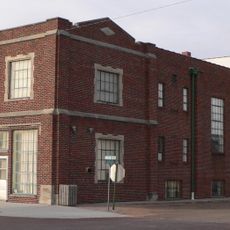
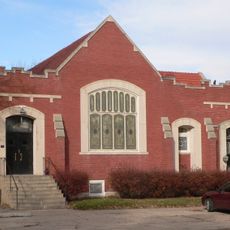
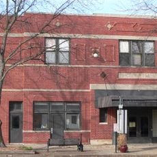
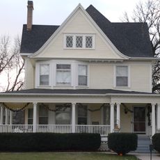
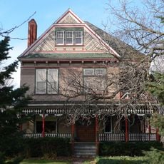
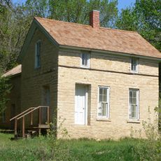
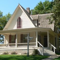
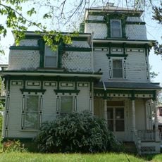
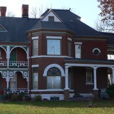
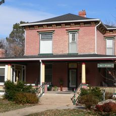
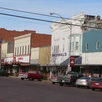
The communities here carry visible signs of their Czech, Swedish, and German roots, reflected in place names, local celebrations, and how families organize their farms and homes. Walking through the towns, you notice this heritage in the architecture and the way people maintain their properties.

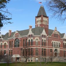
Summer and early fall offer the most comfortable conditions for exploring the area and visiting its communities. Geneva provides central access to services and information, making it a good starting point for understanding the region.

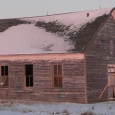
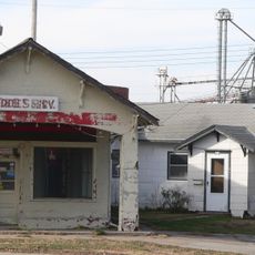
Although the railroad arrived in 1871, it took decades for the region to reach its full agricultural capacity. Visitors can still spot visible traces of this rail heritage in some of the older towns.

Location: Nebraska

Inception: 1871

Capital city: Geneva

Shares border with: York County, Thayer County, Nuckolls County, Clay County, Seward County, Saline County, Jefferson County

Website: http://fillmorecounty.org

GPS coordinates: 40.52000,-97.60000

Latest update: December 10, 2025 15:59

Photos
Around this place
Strang School District No. 36
United States of America

Strang School District No. 36

12.1 km
Big Blue River Bridge
United States of America

Big Blue River Bridge

22.5 km
The Plainsman Museum
United States of America

The Plainsman Museum

50.4 km
Cesko-narodni sin-Milligan Auditorium
United States of America

Cesko-narodni sin-Milligan Auditorium

17.7 km
IOOF Opera House
United States of America

IOOF Opera House

46.7 km
Deering Bridge
United States of America

Deering Bridge

23.2 km
Rad Saline Center cis. 389 Z.C.B.J.
United States of America

Rad Saline Center cis. 389 Z.C.B.J.

35.7 km
United Brethren Church
United States of America

United Brethren Church

51.5 km
Z.C.B.J. Rad Tabor No. 74
United States of America

Z.C.B.J. Rad Tabor No. 74

41 km
Fillmore County Courthouse
United States of America

Fillmore County Courthouse

595 m
Richard E. Dill House
United States of America

Richard E. Dill House

35.2 km
Hamilton County Courthouse
United States of America

Hamilton County Courthouse

51.5 km
Clay County Courthouse
United States of America

Clay County Courthouse

38.5 km
The Auditorium
United States of America

The Auditorium

779 m
Streeter-Peterson House
United States of America

Streeter-Peterson House

51.8 km
George W. Smith House
United States of America

George W. Smith House

1 km
Telocvicna Jednota Sokol
United States of America

Telocvicna Jednota Sokol

47.3 km
Woral C. Smith Lime Kiln and Limestone House
United States of America

Woral C. Smith Lime Kiln and Limestone House

48 km
York Public Library
United States of America

York Public Library

38.7 km
Isaac Newton Clark House
United States of America

Isaac Newton Clark House

24.5 km
Geneva United States Post Office
United States of America

Geneva United States Post Office

838 m
Bradshaw Town Hall
United States of America

Bradshaw Town Hall

42.3 km
Warner's Filling Station and House
United States of America

Warner's Filling Station and House

711 m
Richard R. Kiddle House
United States of America

Richard R. Kiddle House

30.4 km
Fairfield Carnegie Library
United States of America

Fairfield Carnegie Library

43.9 km
J.M. Burk House
United States of America

J.M. Burk House

1 km
United States of America

Saline County Bank

36.9 km
Dempster-Sloan House
United States of America

Dempster-Sloan House

1.5 km
Show the full map
Reviews

Visited this place? Tap the stars to rate it and share your experience / photos with the community! Try now! You can cancel it anytime.

Administrative divisions
« Fillmore County - County in Nebraska, United States » is provided by Around Us (aroundus.com). Images and texts are derived from Wikimedia project under a Creative Commons license. You are allowed to copy, distribute, and modify copies of this page, under the conditions set by the license, as long as this note is clearly visible.

Discover hidden gems everywhere you go!

From secret cafés to breathtaking viewpoints, skip the crowded tourist spots and find places that match your style. Our app makes it easy with voice search, smart filtering, route optimization, and insider tips from travelers worldwide. Download now for the complete mobile experience.

Around Us App Screenshot

A unique approach to discovering new places

Le Figaro

All the places worth exploring

France Info

A tailor-made excursion in just a few clicks

20 Minutes