Enable Location

We need your location to show you interesting places around you

Discover nearby places

Find interesting locations and hidden gems around you

Precise directions

Get accurate directions and distances to places

Your location is never shared with other users. It's only used when you tap the location button.

St. Croix County

Log in to your account

Start exploring — it's free

Trusted by 61,940 travelers worldwide

Continue with Google
Continue with Apple
or

We will send you a code to connect

By continuing, you accept our Terms and Conditions and our Privacy Policy

Check your inbox

We've sent a pincode in your inbox. Please enter the code below.

St. Croix County, Administrative county in western Wisconsin, US

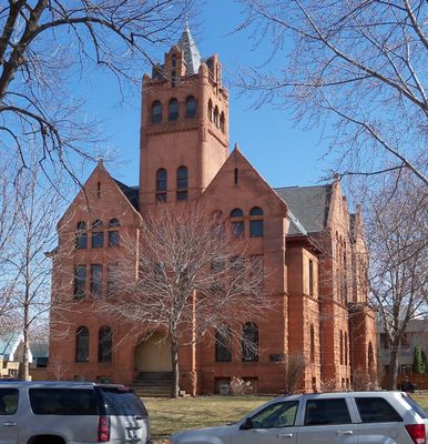
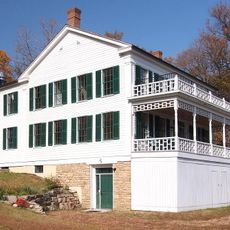
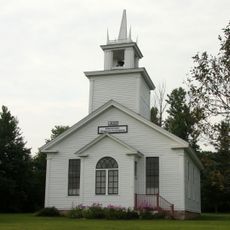
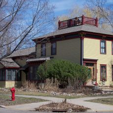
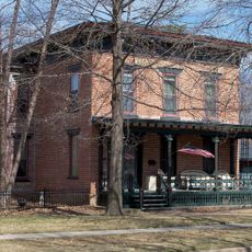
St. Croix County is an administrative division in western Wisconsin bordering Minnesota, with terrain shaped by river valleys and farming land. The territory includes several towns and rural communities spread across rolling countryside and waterway systems.

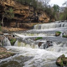
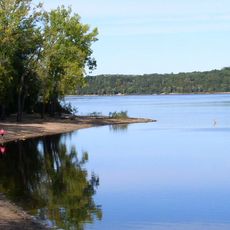
The territory was officially established in 1849 and named after the St. Croix River, which French explorers had documented in the 1600s. Settlement patterns followed the river, which became central to the region's geography and economic development.

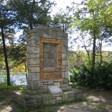
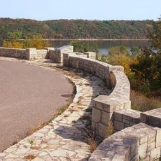
The county takes its name from the St. Croix River, a landmark that French explorers associated with the region's natural character. Today, river communities and rural villages maintain strong ties to this waterway as a defining feature of local life.

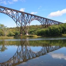
Main highways including Interstate 94, US Highway 12, and US Highway 63 provide good connections to regional centers and the Minneapolis-Saint Paul area. These routes make navigation through and around the county straightforward for visitors exploring the region.

A powerful F5 tornado destroyed the town of New Richmond in 1899, killing more than 100 people. This remains one of the deadliest tornado events ever recorded in Wisconsin.

The community of curious travelers

AroundUs brings together thousands of curated places, local tips, and hidden gems, enriched daily by 60,000 contributors worldwide.

Start exploring
Location
Inception
1849
Capital city
Hudson
Shares border with
Polk County, Barron County, Dunn County, Pierce County, Washington County
GPS coordinates
45.04000,-92.45000
Latest update
December 7, 2025 10:07
Around this place
United States of America

Minnesota Correctional Facility – Oak Park Heights

27.8 km
Willow River State Park
United States of America

Willow River State Park

18.8 km
Minnesota Correctional Facility – Stillwater
United States of America

Minnesota Correctional Facility – Stillwater

26.7 km
Soo Line High Bridge
United States of America

Soo Line High Bridge

24.9 km
St. Croix Boom Site
United States of America

St. Croix Boom Site

26.9 km
Afton State Park
United States of America

Afton State Park

32.9 km
St. Croix Crossing
United States of America

St. Croix Crossing

26.3 km
Marine Mill
United States of America

Marine Mill

30.6 km
Stillwater Overlook
United States of America

Stillwater Overlook

27.2 km
John S. Moffat House
United States of America

John S. Moffat House

24.9 km
United States of America

Cylon Wildlife Area

17.7 km
Arcola Mills
United States of America

Arcola Mills

26.1 km
O'Brien Observatory
United States of America

O'Brien Observatory

30 km
Moritz Bergstein Shoddy Mill and Warehouse
United States of America

Moritz Bergstein Shoddy Mill and Warehouse

27.7 km
Chicago, St. Paul, Minneapolis and Omaha Railroad Car Shop Historic District
United States of America

Chicago, St. Paul, Minneapolis and Omaha Railroad Car Shop Historic District

24.9 km
Captain John Oliver House
United States of America

Captain John Oliver House

26.5 km
St Croix County Courthouse
United States of America

St Croix County Courthouse

24.9 km
Hudson Public Library
United States of America

Hudson Public Library

25.1 km
Kinnickinnic Church
United States of America

Kinnickinnic Church

15.9 km
First English Lutheran Church
United States of America

First English Lutheran Church

12.3 km
John T. Cyphers House
United States of America

John T. Cyphers House

26.5 km
William J. Bernd House
United States of America

William J. Bernd House

11.5 km
St. Croix Boom Company House and Barn
United States of America

St. Croix Boom Company House and Barn

26.8 km
William H. Phipps House
United States of America

William H. Phipps House

25 km
William Dwelley House
United States of America

William Dwelley House

24.8 km
Samuel T. Merritt House
United States of America

Samuel T. Merritt House

24.5 km
Herman L. Humphrey House
United States of America

Herman L. Humphrey House

24.4 km
Lewis-Williams House
United States of America

Lewis-Williams House

25.2 km
Show the full map
Administrative divisions
« St. Croix County - Administrative county in western Wisconsin, US » is provided by Around Us (aroundus.com). Images and texts are derived from Wikimedia project under a Creative Commons license. You are allowed to copy, distribute, and modify copies of this page, under the conditions set by the license, as long as this note is clearly visible.

Discover hidden gems everywhere you go!

From secret cafés to breathtaking viewpoints, skip the crowded tourist spots and find places that match your style. Our app makes it easy with voice search, smart filtering, route optimization, and insider tips from travelers worldwide. Download now for the complete mobile experience.

Around Us App Screenshot

A unique approach to discovering new places

Le Figaro

All the places worth exploring

France Info

A tailor-made excursion in just a few clicks

20 Minutes

Around Us
Travel Guide & Maps
Download

Send to your phone

QR Code
1

Open the camera app on your mobile.

2

Point at the QR code with your camera. A notification will appear.

3

Tap the notification to open the link.