Chest opened
+${chestReward.xp} XP
Explorer
NOUVEAU ×${chestReward.collectible.quantity}
tapez pour fermer
Chest locked

Open chests in the app

Around Us is built for your phone — chests unlock when you walk, explore and capture nearby places.

Enable Location

We need your location to show you interesting places around you

Discover nearby places

Find interesting locations and hidden gems around you

Precise directions

Get accurate directions and distances to places

Your location is never shared with other users. It's only used when you tap the location button.

Sherborn

Log in to your account

Start exploring — it's free

Trusted by 72,881 travelers worldwide

Continue with Google
Continue with Apple
or

We will send you a code to connect

By continuing, you accept our Terms and Conditions and our Privacy Policy

Check your inbox

We've sent a pincode in your inbox. Please enter the code below.

Sherborn
Discussion Reviews 1 Photos
16.7k Popularity

Sherborn, town in Middlesex County, Massachusetts

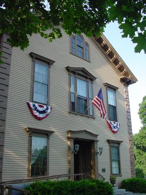
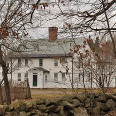
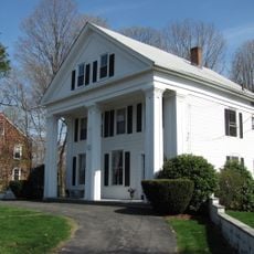
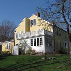
Sherborn is a small town in Middlesex County, Massachusetts, with roughly 4,500 residents and origins as a farming community. The landscape features winding tree-lined roads, open spaces, and wooded areas, with more than half the land preserved as public parks or forests.

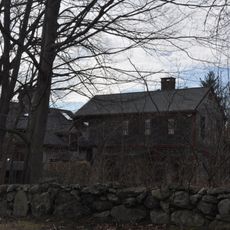
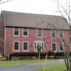
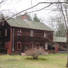
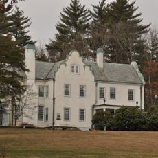
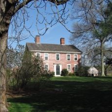
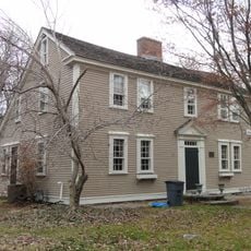
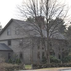
Sherborn was first settled in 1652 and officially established as a town in 1674. Early residents purchased large tracts of land from local tribes and developed them as farms, a heritage that shaped the town for centuries.

The town name Sherborn was chosen by authorities without much thought to local history. Residents today value their community through volunteer work and active participation in town decisions, keeping the place closely connected and engaged.

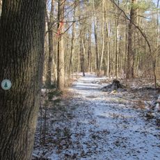
The town sits roughly 18 miles southwest of Boston and offers hiking trails, parks, and Farm Pond for swimming and fishing. Visitors should be aware of bears in the area and keep food and trash secured away from wildlife.

In the 1800s, a famous cider mill operated here and produced over one million gallons per year, exporting its product to other countries. Today cider making continues at Stormalong, keeping alive this forgotten chapter of local industry.

The community of curious travelers

AroundUs brings together thousands of curated places, local tips, and hidden gems, enriched daily by 60,000 contributors worldwide.

Start exploring
Location
Inception
1652
Elevation above the sea
53 m
GPS coordinates
42.23889,-71.37028
Latest update
February 17, 2026 01:40
Around this place
Medfield State Hospital
United States of America

Medfield State Hospital

4 km
Broadmoor Wildlife Sanctuary
United States of America

Broadmoor Wildlife Sanctuary

3.1 km
Peters Reservation
United States of America

Peters Reservation

3.6 km
Chase Woodlands
United States of America

Chase Woodlands

4 km
Joseph Twitchell House
United States of America

Joseph Twitchell House

2.7 km
Bullard Farm
United States of America

Bullard Farm

5 km
East Holliston Historic District
United States of America

East Holliston Historic District

5 km
Clark Houses
United States of America

Clark Houses

4.9 km
Daniel Morse III House
United States of America

Daniel Morse III House

2.8 km
Richard Sanger III House
United States of America

Richard Sanger III House

870 m
Charles Holbrook House
United States of America

Charles Holbrook House

1.6 km
Woodland Farm-Leland House
United States of America

Woodland Farm-Leland House

2.1 km
Clark-Northrup House
United States of America

Clark-Northrup House

1.4 km
Sawin-Bullen-Bullard House
United States of America

Sawin-Bullen-Bullard House

3.5 km
Rev. Edmund Dowse House
United States of America

Rev. Edmund Dowse House

413 m
Deacon William Leland House
United States of America

Deacon William Leland House

3.6 km
Addington Gardner House
United States of America

Addington Gardner House

3.4 km
H. G. Vaughn House
United States of America

H. G. Vaughn House

3.6 km
Eleazer Goulding House
United States of America

Eleazer Goulding House

3 km
Thomas Fleming House
United States of America

Thomas Fleming House

440 m
Asa Sanger House
United States of America

Asa Sanger House

967 m
Charles D. Lewis House
United States of America

Charles D. Lewis House

1.6 km
Ware's Tavern
United States of America

Ware's Tavern

1.3 km
Sherborn Center Historic District
United States of America

Sherborn Center Historic District

317 m
Morse-Barber House
United States of America

Morse-Barber House

2.3 km
Joseph Cleale House
United States of America

Joseph Cleale House

3 km
Edward's Plain-Dowse's Corner Historic District
United States of America

Edward's Plain-Dowse's Corner Historic District

1.6 km
Bullen-Stratton-Cozzen House
United States of America

Bullen-Stratton-Cozzen House

3.1 km
Show the full map
Reviews
Share your experience

No review yet

Discussions
Start a discussion...

No discussion yet

« Sherborn - town in Middlesex County, Massachusetts » is provided by Around Us (aroundus.com). Images and texts are derived from Wikimedia project under a Creative Commons license. You are allowed to copy, distribute, and modify copies of this page, under the conditions set by the license, as long as this note is clearly visible.

Discover hidden gems everywhere you go!

From secret cafés to breathtaking viewpoints, skip the crowded tourist spots and find places that match your style. Our app makes it easy with voice search, smart filtering, route optimization, and insider tips from travelers worldwide. Download now for the complete mobile experience.

Around Us App Screenshot

A unique approach to discovering new places

Le Figaro

All the places worth exploring

France Info

A tailor-made excursion in just a few clicks

20 Minutes

Around Us
Travel Guide & Maps
Download

Send to your phone

QR Code
1

Open the camera app on your mobile.

2

Point at the QR code with your camera. A notification will appear.

3

Tap the notification to open the link.