Monongahela River, River system in Pennsylvania and West Virginia, United States.
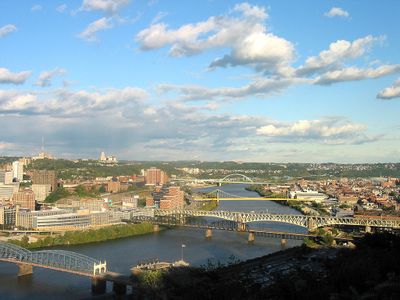
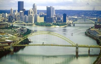
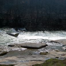
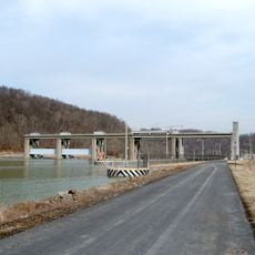
The Monongahela is a river in West Virginia and Pennsylvania that runs south to north for roughly 210 kilometers before joining the Allegheny at Pittsburgh to form the Ohio. Nine locks and dams divide the waterway into sections that remain navigable for cargo ships and barges year round.
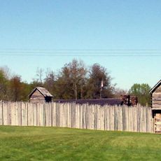
During the French and Indian War in 1755 a British force under General Braddock suffered a heavy defeat here against French troops and their allies. Industrial use of the waterway began in the 19th century when coal transport and steel production shaped the entire region.
The name comes from the Unami language and describes the geological features of the banks, which constantly change shape through erosion. Many places along the water still carry Native American names that recall the early settlement of this region.
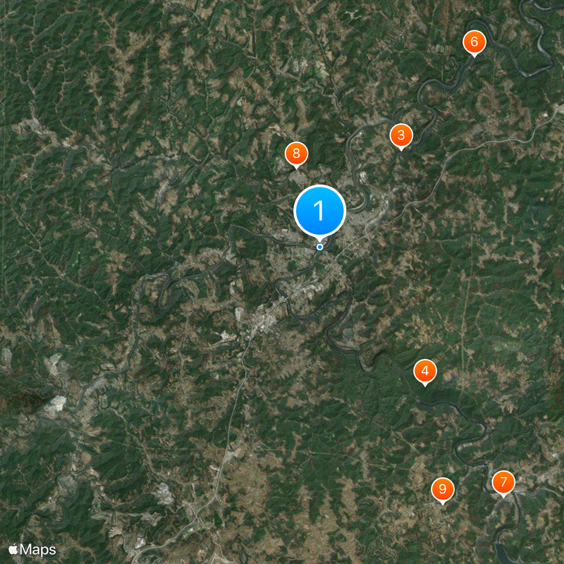
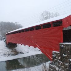
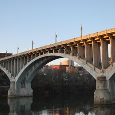
The riverbank is accessible at several points through public parks and walking paths suitable for short walks or bike rides. Infrastructure for barges and industrial facilities marks long stretches, so visitors gain the best overview in urban areas.
The waterway is among the few larger North American rivers that flow from south to north, making it a geographical oddity. Its course formed a natural boundary between different settlements and administrative units for centuries.
The community of curious travelers
AroundUs brings together thousands of curated places, local tips, and hidden gems, enriched daily by 60,000 contributors worldwide.