Chest opened
+${chestReward.xp} XP
Explorer
NOUVEAU ×${chestReward.collectible.quantity}
tapez pour fermer
Chest locked

Open chests in the app

Around Us is built for your phone — chests unlock when you walk, explore and capture nearby places.

Enable Location

We need your location to show you interesting places around you

Discover nearby places

Find interesting locations and hidden gems around you

Precise directions

Get accurate directions and distances to places

Your location is never shared with other users. It's only used when you tap the location button.

Smith Island

Log in to your account

Start exploring — it's free

Trusted by 72,887 travelers worldwide

Continue with Google
Continue with Apple
or

We will send you a code to connect

By continuing, you accept our Terms and Conditions and our Privacy Policy

Check your inbox

We've sent a pincode in your inbox. Please enter the code below.

Discussion Reviews 2 Photos
51.3k Popularity

Smith Island, Coastal island in Area C South Skeena, Canada.

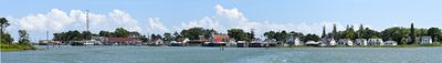
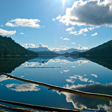
Smith Island sits at the mouth of the Skeena River with Mount McGrath on its eastern side and Tsum Tsadai Inlet along its northern coast. The island is surrounded by several water passages and lies near other islands including De Horsey Island.

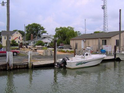
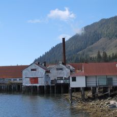
The Dashken Indian Reserve No. 22 was established on the eastern side of the island, facing the De Horsey Island area and the former settlement of Osland. This reserve represents a long history of human settlement in this maritime region.

The island is connected to the Dashken Indian Reserve, where traces of traditional ways of life and maritime activities remain visible along its shores today.

When navigating around the island, pay attention to drying reefs and tidal currents that can reach significant speeds in the surrounding passages. Plan your route based on tide forecasts and local conditions that can shift quickly.

The island connects to six different water passages: Marcus, Inverness, Eleanor, De Horsey channels, and waterways leading to the Skeena River mouth. This position at multiple important sea routes has made it a strategic point for vessels crossing this region.

The community of curious travelers

AroundUs brings together thousands of curated places, local tips, and hidden gems, enriched daily by 60,000 contributors worldwide.

Start exploring
Location
Elevation above the sea
0 m
GPS coordinates
37.96860,-76.02280
Latest update
March 5, 2026 18:58
Reviews
Share your experience

No review yet

Discussions
Start a discussion...

No discussion yet

« Smith Island - Coastal island in Area C South Skeena, Canada » is provided by Around Us (aroundus.com). Images and texts are derived from Wikimedia project under a Creative Commons license. You are allowed to copy, distribute, and modify copies of this page, under the conditions set by the license, as long as this note is clearly visible.

Discover hidden gems everywhere you go!

From secret cafés to breathtaking viewpoints, skip the crowded tourist spots and find places that match your style. Our app makes it easy with voice search, smart filtering, route optimization, and insider tips from travelers worldwide. Download now for the complete mobile experience.

Around Us App Screenshot

A unique approach to discovering new places

Le Figaro

All the places worth exploring

France Info

A tailor-made excursion in just a few clicks

20 Minutes

Around Us
Travel Guide & Maps
Download

Send to your phone

QR Code
1

Open the camera app on your mobile.

2

Point at the QR code with your camera. A notification will appear.

3

Tap the notification to open the link.