Chest opened
+${chestReward.xp} XP
Explorer
NOUVEAU ×${chestReward.collectible.quantity}
tapez pour fermer
Chest locked

Open chests in the app

Around Us is built for your phone — chests unlock when you walk, explore and capture nearby places.

Enable Location

We need your location to show you interesting places around you

Discover nearby places

Find interesting locations and hidden gems around you

Precise directions

Get accurate directions and distances to places

Your location is never shared with other users. It's only used when you tap the location button.

Fanwood

Log in to your account

Start exploring — it's free

Trusted by 72,882 travelers worldwide

Continue with Google
Continue with Apple
or

We will send you a code to connect

By continuing, you accept our Terms and Conditions and our Privacy Policy

Check your inbox

We've sent a pincode in your inbox. Please enter the code below.

Discussion Reviews 1 Photos
14k Popularity

Fanwood, Administrative borough in Union County, New Jersey, US

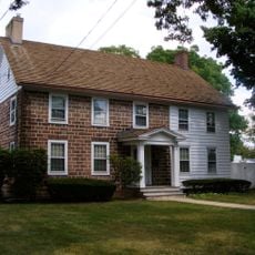
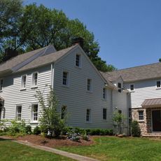
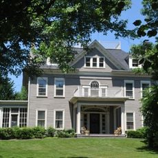
Fanwood is a residential community in Union County that spans about 1.3 square miles between Plainfield and Scotch Plains. The area features tree-lined streets and quiet neighborhoods with single-family homes and mixed architectural styles.

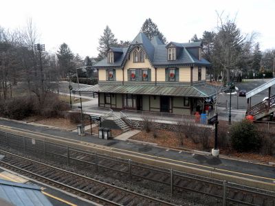
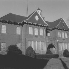
The railroad station was built in 1874 as part of the region's rail development, connecting the newly forming community to larger cities. The borough itself was created in 1895 when it separated from the original township.

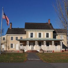
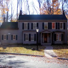
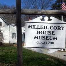
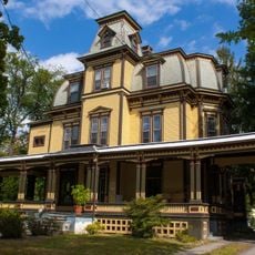
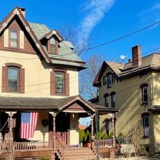
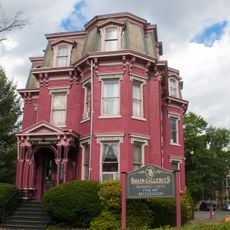
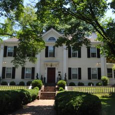
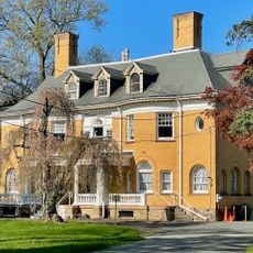
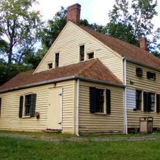
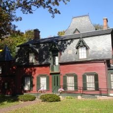
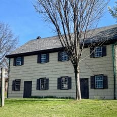
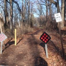
The Fanwood Park Historic District displays residential architecture from different periods along North Avenue, reflecting how the settlement grew over time. Walking through these streets shows how community members have lived here across generations.

The New Jersey Transit train station offers regular service to key destinations like Newark Penn Station and Manhattan, ideal for commuters. Most attractions in the community are easily walkable or well connected by local roads.

The place name comes from Fannie Wood, a local author whose name was given to the area when it separated to become independent. This origin story is often overlooked today despite its personal connection to early settlement.

The community of curious travelers

AroundUs brings together thousands of curated places, local tips, and hidden gems, enriched daily by 60,000 contributors worldwide.

Start exploring
GPS coordinates
40.64096,-74.38385
Latest update
December 7, 2025 20:23
Around this place
Watchung Reservation
United States of America

Watchung Reservation

5.1 km
Feltville Historic District
United States of America

Feltville Historic District

4.5 km
Shady Rest Golf and Country Club
United States of America

Shady Rest Golf and Country Club

1.9 km
Homestead Farm at Oak Ridge
United States of America

Homestead Farm at Oak Ridge

5.1 km
United States of America

Passaic River Parkway

6.2 km
Cedar Brook Park
United States of America

Cedar Brook Park

4.8 km
Deacon Andrew Hetfield House
United States of America

Deacon Andrew Hetfield House

4.1 km
Miller-Cory House
United States of America

Miller-Cory House

3.7 km
Green Brook Park
United States of America

Green Brook Park

6.3 km
Van Wyck Brooks Historic District
United States of America

Van Wyck Brooks Historic District

4.5 km
Washington Park Historic District
United States of America

Washington Park Historic District

5.1 km
Crescent Area Historic District
United States of America

Crescent Area Historic District

3.7 km
Old Baptist Parsonage
United States of America

Old Baptist Parsonage

1.8 km
John De Camp House
United States of America

John De Camp House

3.9 km
Hillside Avenue Historic District
United States of America

Hillside Avenue Historic District

3.4 km
George A. Strong House
United States of America

George A. Strong House

4.9 km
Orville T. Waring House
United States of America

Orville T. Waring House

4.1 km
North Avenue Commercial District
United States of America

North Avenue Commercial District

4 km
Littel-Lord Farmstead
United States of America

Littel-Lord Farmstead

4.8 km
Plainfield Civic District
United States of America

Plainfield Civic District

3.9 km
Crescent Avenue Presbyterian Church
United States of America

Crescent Avenue Presbyterian Church

3.8 km
Snyder Avenue Spraypark
United States of America

Snyder Avenue Spraypark

6.2 km
Nathaniel Drake House
United States of America

Nathaniel Drake House

5.1 km
Cinemark Watchung and XD
United States of America

Cinemark Watchung and XD

2.2 km
Rahway and Plainfield Friends Meeting House
United States of America

Rahway and Plainfield Friends Meeting House

3.9 km
Sylvan Lane Footpath
United States of America

Sylvan Lane Footpath

6.6 km
Fanwood Park Historic District
United States of America

Fanwood Park Historic District

556 m
Scotch Plains School
United States of America

Scotch Plains School

1.4 km
Show the full map
Reviews
Share your experience

No review yet

Discussions
Start a discussion...

No discussion yet

« Fanwood - Administrative borough in Union County, New Jersey, US » is provided by Around Us (aroundus.com). Images and texts are derived from Wikimedia project under a Creative Commons license. You are allowed to copy, distribute, and modify copies of this page, under the conditions set by the license, as long as this note is clearly visible.

Discover hidden gems everywhere you go!

From secret cafés to breathtaking viewpoints, skip the crowded tourist spots and find places that match your style. Our app makes it easy with voice search, smart filtering, route optimization, and insider tips from travelers worldwide. Download now for the complete mobile experience.

Around Us App Screenshot

A unique approach to discovering new places

Le Figaro

All the places worth exploring

France Info

A tailor-made excursion in just a few clicks

20 Minutes

Around Us
Travel Guide & Maps
Download

Send to your phone

QR Code
1

Open the camera app on your mobile.

2

Point at the QR code with your camera. A notification will appear.

3

Tap the notification to open the link.