Carolina

Log in to your account

AroundUs is a community-driven map of interesting places, built by curious explorers like you. It grows with every review, story, and photo you share.
Connect to save your favorite spots, contribute locations, and create personalized routes.
Continue with Google
Continue with Apple
Continue with X
Continue with Facebook
Continue with email
By continuing, you accept our Terms and Conditions and our Privacy Policy
Create an account
Add to collection
Map
Suggest a change
Share

Carolina, Coastal municipality in northeastern Puerto Rico.

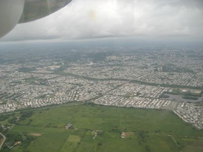
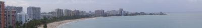
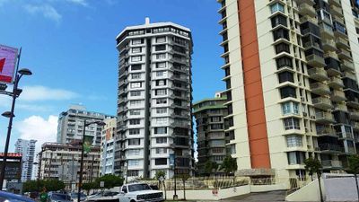
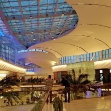
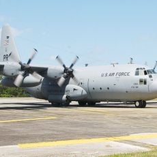
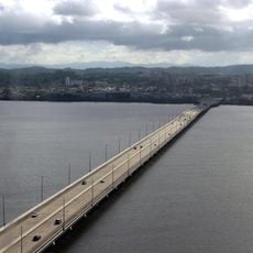
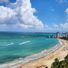
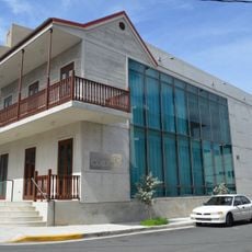
Carolina is a municipality running along the northeastern coast of Puerto Rico, positioned between the capital San Juan and the Atlantic shore. The area includes the Isla Verde district, which houses the international airport, as well as several public beaches and inland residential neighborhoods.

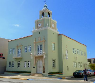
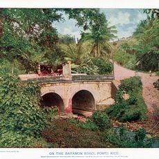
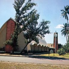
Spanish colonizers founded the settlement in the late 1600s under the name Trujillo Bajo. In 1857 the town received the name San Fernando de la Carolina in honor of the Spanish king Charles II.

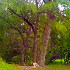
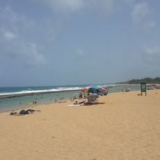
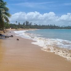
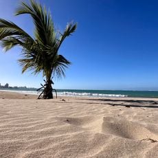
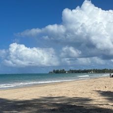
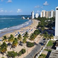
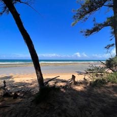
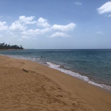
The town's identity grew around its coastal position and the communities that formed near the water and farmland. Residents today use the public parks and beaches as regular gathering places, where families and groups from across the municipality come together on weekends.

The three main beaches offer different swimming conditions and include facilities such as lifeguards, umbrella rentals, and parking areas. Visitors exploring the area can access several coastal entry points along the main road and inland routes leading to the residential districts.

The nickname Tierra de Gigantes comes from Felipe Birriel González, a famous resident who stood at 7 feet 11 inches (2.42 meters) and was the tallest person in Puerto Rican history. His memory remains present in local conversation and has given the town a special place in island lore.

Location: Puerto Rico

Inception: 1857

Capital city: Carolina

Elevation above the sea: 16 m

Shares border with: Loíza, San Juan, Trujillo Alto, Canóvanas, Gurabo, Juncos

Website: http://gobierno.pr/OCAM/DirectorioMunicipios/Carolina.htm

GPS coordinates: 18.38889,-65.96667

Latest update: December 13, 2025 19:36

Photos
Reviews

Visited this place? Tap the stars to rate it and share your experience / photos with the community! Try now! You can cancel it anytime.

« Carolina - Coastal municipality in northeastern Puerto Rico » is provided by Around Us (aroundus.com). Images and texts are derived from Wikimedia project under a Creative Commons license. You are allowed to copy, distribute, and modify copies of this page, under the conditions set by the license, as long as this note is clearly visible.

Discover hidden gems everywhere you go!

From secret cafés to breathtaking viewpoints, skip the crowded tourist spots and find places that match your style. Our app makes it easy with voice search, smart filtering, route optimization, and insider tips from travelers worldwide. Download now for the complete mobile experience.

Around Us App Screenshot

A unique approach to discovering new places

Le Figaro

All the places worth exploring

France Info

A tailor-made excursion in just a few clicks

20 Minutes