Enable Location

We need your location to show you interesting places around you

Discover nearby places

Find interesting locations and hidden gems around you

Precise directions

Get accurate directions and distances to places

Your location is never shared with other users. It's only used when you tap the location button.

Burlington

Log in to your account

Start exploring — it's free

Trusted by 62,043 travelers worldwide

Continue with Google
Continue with Apple
or

We will send you a code to connect

By continuing, you accept our Terms and Conditions and our Privacy Policy

Check your inbox

We've sent a pincode in your inbox. Please enter the code below.

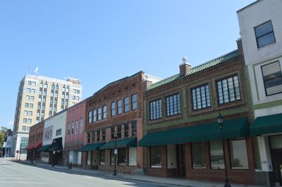
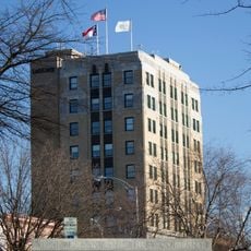
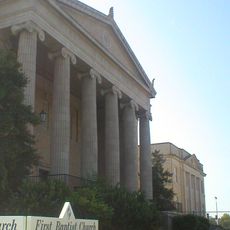
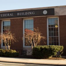
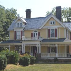
Burlington, Industrial city in North Carolina, United States

Burlington sits in Alamance and Guilford counties across the rolling Piedmont landscape of North Carolina at an elevation of 193 meters (633 feet). The town spreads out in residential neighborhoods, commercial zones, schools, and parks connected by a network of roads and public transit routes.

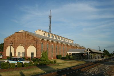
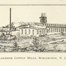
The settlement began in 1857 as Company Shops, a railroad maintenance center where workers repaired and serviced locomotives and freight cars. It adopted its current name in 1887 and gradually grew into an industrial town shaped by textile production and other manufacturing trades.

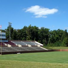
The local baseball team plays home games at the athletic stadium, continuing a tradition that brings families and fans together during warm months. Spectators gather in the bleachers with snacks and drinks, following the rhythm of innings and cheering for every good play on the field.

Link Transit connects residential areas with commercial districts and schools, making it easier to get around without a car. Route maps and stops are available online or at local information centers, with service timed to match peak travel hours during weekdays.

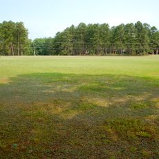
The city park includes a complex with 17 pickleball courts, one of the larger public facilities of its kind in the region. The municipal arboretum also features a garden designed for children, with planted beds and paths created especially for young visitors.

The community of curious travelers

AroundUs brings together thousands of curated places, local tips, and hidden gems, enriched daily by 60,000 contributors worldwide.

Start exploring
Location
Location
Inception
1886
Elevation above the sea
193 m
GPS coordinates
36.08972,-79.44556
Latest update
December 13, 2025 18:44
Around this place
Alamance Battleground
United States of America

Alamance Battleground

11.1 km
Rhodes Stadium
United States of America

Rhodes Stadium

6 km
Alumni Gym
United States of America

Alumni Gym

5.9 km
United States of America

Campus of Elon University

5.2 km
Alamance County Courthouse
United States of America

Alamance County Courthouse

4.7 km
Atlantic Bank and Trust Company Building
United States of America

Atlantic Bank and Trust Company Building

827 m
First Baptist Church
United States of America

First Baptist Church

1 km
United States Post Office
United States of America

United States Post Office

513 m
Francis Marion Smith House
United States of America

Francis Marion Smith House

8.7 km
Johnston Hall
United States of America

Johnston Hall

5.1 km
Elon College Historic District
United States of America

Elon College Historic District

5.5 km
Alamance Hotel
United States of America

Alamance Hotel

625 m
St. Athanasius Episcopal Church and Parish House and the Church of the Holy Comforter
United States of America

St. Athanasius Episcopal Church and Parish House and the Church of the Holy Comforter

1 km
United States of America

L. Banks Holt House

8.9 km
United States of America

Daniel P. Foust House

12.2 km
Lakeside Mills Historic District
United States of America

Lakeside Mills Historic District

1.8 km
United States of America

Bellemont Mill Village Historic District

7.1 km
First Christian Church of Burlington
United States of America

First Christian Church of Burlington

765 m
United States of America

Menagerie Carousel

949 m
United States of America

East Davis Street Historic District

1.3 km
United States of America

Wadsworth Congregational Church

14.5 km
United States of America

Oneida Cotton Mills and Scott-Mebane Manufacturing Company Complex

4.3 km
United States of America

Sunny Side

8.4 km
Stagg House
United States of America

Stagg House

961 m
United States of America

Beverly Hills Historic District

2.1 km
United States of America

May Hosiery Mills Knitting Mill

580 m
Simeon Wagoner House
United States of America

Simeon Wagoner House

10.9 km
United States of America

Holly Gate

10.8 km
Show the full map
« Burlington - Industrial city in North Carolina, United States » is provided by Around Us (aroundus.com). Images and texts are derived from Wikimedia project under a Creative Commons license. You are allowed to copy, distribute, and modify copies of this page, under the conditions set by the license, as long as this note is clearly visible.

Discover hidden gems everywhere you go!

From secret cafés to breathtaking viewpoints, skip the crowded tourist spots and find places that match your style. Our app makes it easy with voice search, smart filtering, route optimization, and insider tips from travelers worldwide. Download now for the complete mobile experience.

Around Us App Screenshot

A unique approach to discovering new places

Le Figaro

All the places worth exploring

France Info

A tailor-made excursion in just a few clicks

20 Minutes

Around Us
Travel Guide & Maps
Download

Send to your phone

QR Code
1

Open the camera app on your mobile.

2

Point at the QR code with your camera. A notification will appear.

3

Tap the notification to open the link.