Charles Mound, Summit in Jo Daviess County, Illinois, United States
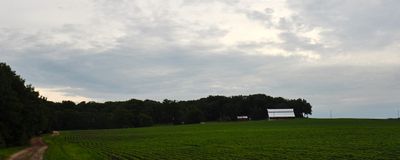
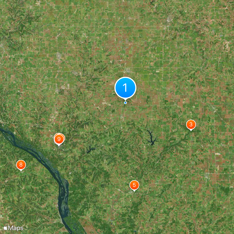
Charles Mound is the highest point in Illinois, rising 376 meters above sea level in the northwestern part of the state near the Wisconsin border. The summit sits on private property and is accessed via a marked trail that begins from Charles Mound Road in Scales Mound Township.
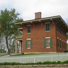
The mountain is named after Elijah Charles, an early settler who established his home at the base of the hill in 1828. This naming reflects the early European settlement era in this corner of northern Illinois.
The summit draws collectors from across the country who seek to reach the highest points of all 50 states. These visitors make the journey to complete a personal goal tied to American geography.
Access to the summit is available only on select weekends during the summer months, as the property is privately owned. Visitors should come prepared with sturdy footwear and check ahead for exact opening times before making the trip.
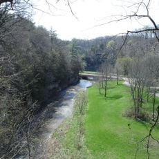
The summit stands within the Driftless Area, a geological region that escaped glacial shaping during the last ice age. This distinctive geology created landforms that differ noticeably from the flattened landscape found elsewhere in the Midwest.
Location: Scales Mound Township
Elevation above the sea: 376 m
Opening Hours: June,July,August,September Saturday[1] open; June,July,August,September Saturday[1] +1 day open
Website: https://highpointers.org/archives/195
GPS coordinates: 42.50411,-90.23984
Latest update: December 20, 2025 00:04
Ulysses S. Grant Home
18.4 km
Apple River Canyon State Park
16.7 km
Galena Historic District
18.4 km
Apple River Fort
20.8 km
Dowling House
18.2 km
Elihu Benjamin Washburne House
18.7 km
Saint Donatus Catholic Church
29.3 km
Saint Michael's Catholic Church
18.5 km
Saint Augustine Church
8.4 km
Townsend Home
21.2 km
W.E. White Building
25.7 km
Saint Patrick's Church
13.4 km
Grace Episcopal Church
18.4 km
Gehlen House and Barn
29.4 km
Benton Stone Water Tower
13.8 km
Spring Side
30.5 km
Scales Mound Historic District
2.7 km
Hazel Green Town Hall
16.3 km
Charles Wenner House
14.8 km
Gratiot House
5.4 km
Water Street Commercial Historic District
8 km
Main Street Historic District
21.9 km
Henry W. Miller House
19.2 km
Warren Commercial Historic District
20.7 km
Galena - Jo Daviess County Historical Society
18.5 km
Old Market House
18.3 km
Lafayette County Courthouse
22.2 km
Village of St. Donatus Historic District
29.4 kmVisited this place? Tap the stars to rate it and share your experience / photos with the community! Try now! You can cancel it anytime.
Discover hidden gems everywhere you go!
From secret cafés to breathtaking viewpoints, skip the crowded tourist spots and find places that match your style. Our app makes it easy with voice search, smart filtering, route optimization, and insider tips from travelers worldwide. Download now for the complete mobile experience.
A unique approach to discovering new places❞
— Le Figaro
All the places worth exploring❞
— France Info
A tailor-made excursion in just a few clicks❞
— 20 Minutes