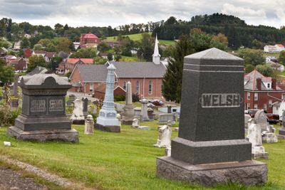
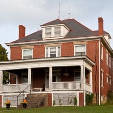
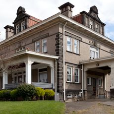
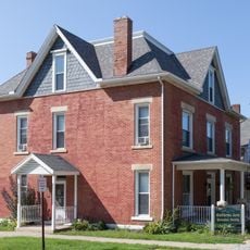
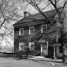
Beallsville, borough of Pennsylvania
Location: Washington County
Inception: 1819
GPS coordinates: 40.06470,-80.02470
Latest update: April 28, 2025 09:20
Brownsville Bridge
12.4 km
Beallsville Historic District
144 m
Regester Log House
6.3 km
Huffman Distillery and Chopping Mill
7.3 km
Old Main
11.9 km
Scenery Hill Historic District
4.6 km
Horn Davis Overholtzer Bridge
7.1 km
Ulery Mill
7.4 km
California Area Public Library
11.6 km
Centerville Historic District
4.7 km
Philip Friend House
8.6 km
Martin's Mill Covered Bridge
10.7 km
Marianna Historic District
7.8 km
Frank L. Ross Farm
11.9 km
Hughes Covered Bridge
12.1 km
Thomas H. Thompson House
12.5 km
Jennings-Gallagher House
11.4 km
Joseph Dorsey House
9.9 km
Welsh-Emery House
2.6 km
Dager-Wonsettler Farmstead
12.8 km
Kinder's Mill
4.6 km
Cerl Wright Covered Bridge
10.7 km
Ringland Tavern
4.3 km
Harrison House
6.7 km
Rice's Landing Historic District
13 km
Arboreto de la universidad de California en Pensilvania
11.9 km
National Pike Steam Gas and Horse Association
8.2 km
Hepner–Bailey Field at Adamson Stadium
10.8 kmReviews
Visited this place? Tap the stars to rate it and share your experience / photos with the community! Try now! You can cancel it anytime.
Discover hidden gems everywhere you go!
From secret cafés to breathtaking viewpoints, skip the crowded tourist spots and find places that match your style. Our app makes it easy with voice search, smart filtering, route optimization, and insider tips from travelers worldwide. Download now for the complete mobile experience.
A unique approach to discovering new places❞
— Le Figaro
All the places worth exploring❞
— France Info
A tailor-made excursion in just a few clicks❞
— 20 Minutes