
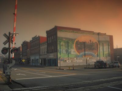
Corry, city of Pennsylvania
Location: Erie County
Inception: May 27, 1861
GPS coordinates: 41.92030,-79.64030
Latest update: April 6, 2025 18:50
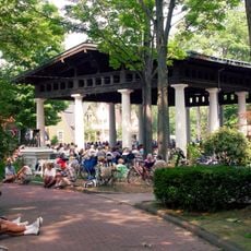
Chautauqua Institution
35 km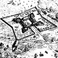
Fort Le Boeuf
28.4 km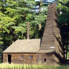
Drake Well
34.5 km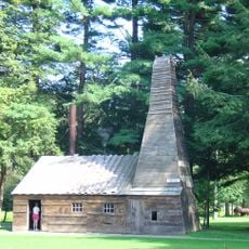
Drake Well Museum
34.4 km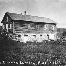
John Brown Tannery Site
34.1 km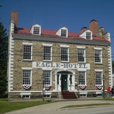
Eagle Hotel
28.5 km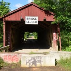
Waterford Covered Bridge
26.9 km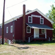
Busti Mill
32.3 km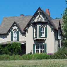
Dr. John Lord House
32.7 km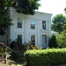
Smith Bly House
29.2 km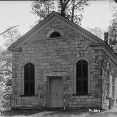
Irvine United Presbyterian Church
31.9 km
Titusville City Hall
32.7 km
Jersey Bridge
34 km
Tidioute Bridge
32.7 km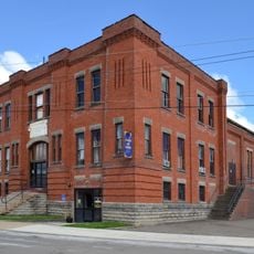
Corry Armory
293 m
Hornby School
28.7 km
Bridge in Oil Creek Township
32.8 km
Titusville Historic District
32.5 km
Union City Historic District
17.4 km
Smith Memorial Library
35.2 km
Bridge in Rockdale Township
31 km
Waterford Borough Historic District
28.6 km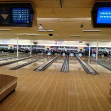
Bowl Aire Lanes
293 m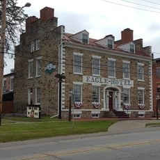
The Eagle Hotel
28.5 km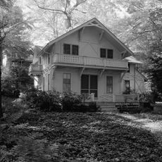
Lewis Miller Cottage
35.2 km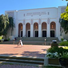
Norton Hall
35.3 km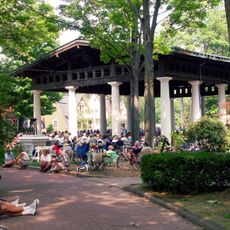
Hall of Philosophy
35.1 km
Miller Bell Tower
35.6 kmReviews
Visited this place? Tap the stars to rate it and share your experience / photos with the community! Try now! You can cancel it anytime.
Discover hidden gems everywhere you go!
From secret cafés to breathtaking viewpoints, skip the crowded tourist spots and find places that match your style. Our app makes it easy with voice search, smart filtering, route optimization, and insider tips from travelers worldwide. Download now for the complete mobile experience.

A unique approach to discovering new places❞
— Le Figaro
All the places worth exploring❞
— France Info
A tailor-made excursion in just a few clicks❞
— 20 Minutes