
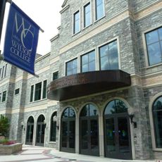
Wilson College
14.1 km
Caledonia State Park
9.9 km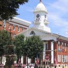
Franklin County Courthouse
13.6 km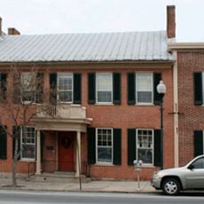
Alexander Hamilton House
10.1 km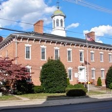
Franklin County Jail
13.6 km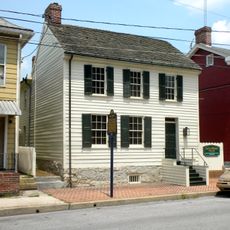
John Brown House
13.6 km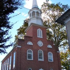
Zion Reformed Church
13.3 km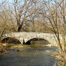
Welty's Mill Bridge
11.9 km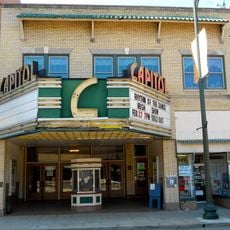
Capitol Theatre
13.4 km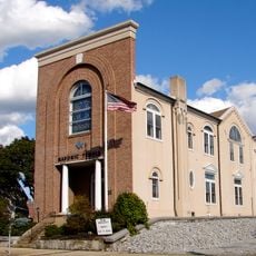
Masonic Temple
13.4 km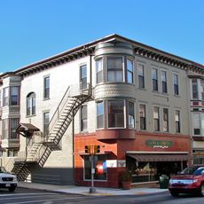
Chambersburg Historic District
12.9 km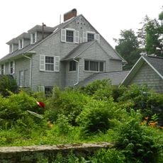
Monterey Historic District
14.3 km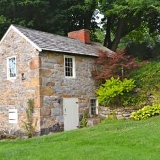
Brotherton Farm
9 km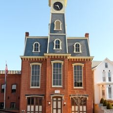
Borough Hall of the Borough of Waynesboro
10.1 km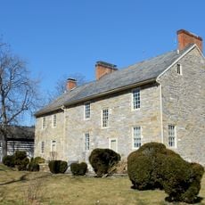
Royer-Nicodemus House and Farm
11.3 km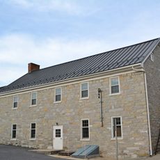
Gass House
11.3 km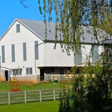
Coldbrook Farm
12.4 km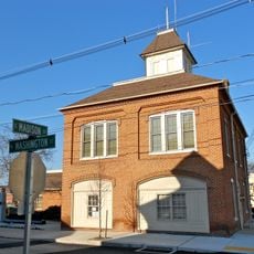
Greencastle Historic District
15.5 km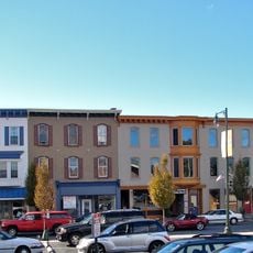
Townhouse Row
13.7 km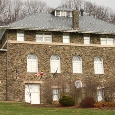
Victor Cullen School Power House
16.6 km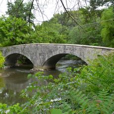
Bridge between Guilford and Hamilton Townships
14 km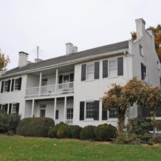
Jeremiah Burns Farm
9 km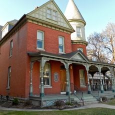
Joseph J. Oller House
9.9 km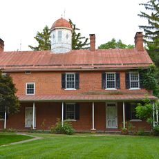
Corker Hill
14.6 km
Handycraft Farmstead
9.2 km
Mitchell-Shook House
15.9 km
Renfrew Museum and Park
11.2 km
Mont Alto State Park
2.4 kmReviews
Visited this place? Tap the stars to rate it and share your experience / photos with the community! Try now! You can cancel it anytime.
Discover hidden gems everywhere you go!
From secret cafés to breathtaking viewpoints, skip the crowded tourist spots and find places that match your style. Our app makes it easy with voice search, smart filtering, route optimization, and insider tips from travelers worldwide. Download now for the complete mobile experience.

A unique approach to discovering new places❞
— Le Figaro
All the places worth exploring❞
— France Info
A tailor-made excursion in just a few clicks❞
— 20 Minutes