Shelter Island, Island town in Suffolk County, United States.
Shelter Island is a town in Suffolk County, New York, located between the North and South Forks of Long Island and fully surrounded by water. The land is a mix of residential areas, woodlands, and wetlands, with no road connection to the mainland.
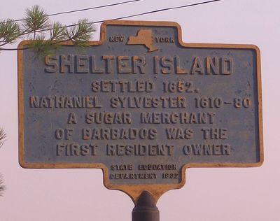
Before European settlers arrived, the island was home to the Manhanset people, who called it Manhansack-aha-quash-awamuck. Nathaniel Sylvester established a plantation here in 1651, making it one of the earliest European settlements in the region.
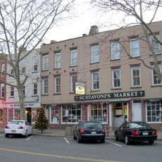
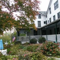
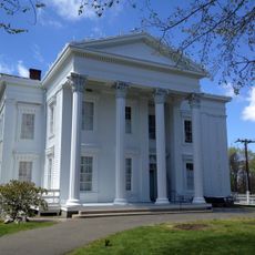
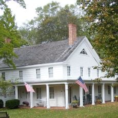
The Shelter Island Heights Historic District still has wooden buildings from the 1870s, when the island was used as a Methodist gathering place. Walking through that neighborhood today gives a clear sense of how the community was once organized around shared faith and summer meetings.
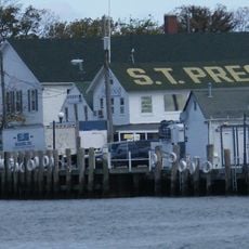
The island is only reachable by ferry, with crossings from Greenport to the north and North Haven to the south, both running year-round. Visitors arriving by car should expect some wait time at the ferry docks during the busier season.
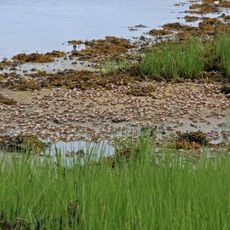
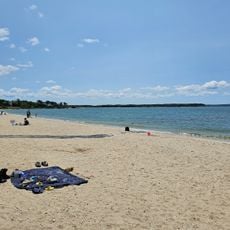
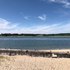
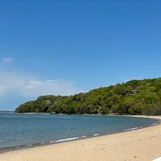
About one-third of the island is protected land managed by The Nature Conservancy, which makes Shelter Island one of the most protected towns in New York State. Visitors can walk trails through wetlands and woods that have changed very little over the past century.
The community of curious travelers
AroundUs brings together thousands of curated places, local tips, and hidden gems, enriched daily by 60,000 contributors worldwide.