
Morrisville, census designated place in the U.S. state of Pennsylvania
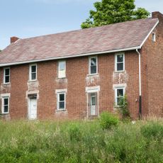
John Corbley Farm
14.6 km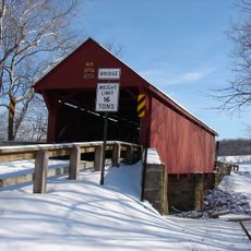
Bailey Covered Bridge
13.8 km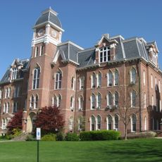
Miller Hall
1.7 km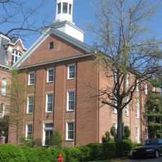
Hanna Hall
1.6 km
Horn Davis Overholtzer Bridge
15.2 km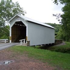
White Covered Bridge
14.3 km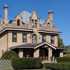
Charles Grant Heasley House
601 m
Ulery Mill
14.8 km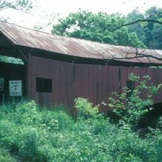
Martin's Mill Covered Bridge
13.2 km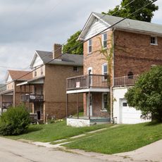
Marianna Historic District
15.1 km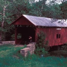
Hughes Covered Bridge
15 km
Hamilton-Ely Farmstead
6.8 km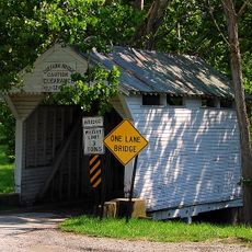
Lippincott Covered Bridge
6.1 km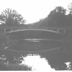
Bridge in Franklin Township
1.1 km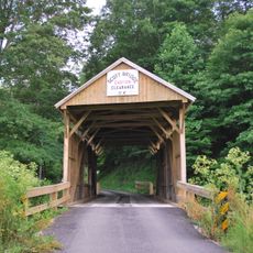
Scott Covered Bridge
13.5 km
Greene Hills Farm
3.9 km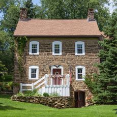
William Cree House
10.4 km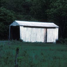
Grimes Covered Bridge
6.3 km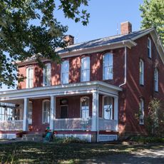
George West Gordon Farm
5.3 km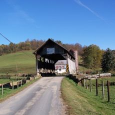
Shriver Covered Bridge
10.8 km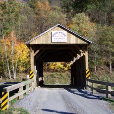
Nettie Woods Covered Bridge
6.9 km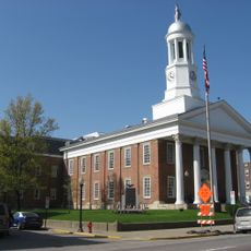
Waynesburg Historic District
1.7 km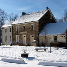
Hughes House
10 km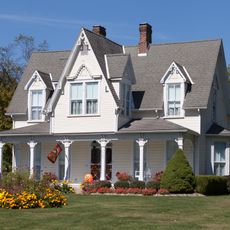
John Rex Farm
10 km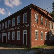
Rice's Landing Historic District
15.4 km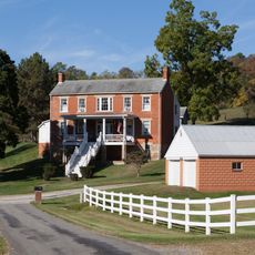
Thomas Kent, Jr., Farm
2.6 km
Greene County Museum
3.9 km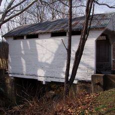
Cox Farm Covered Bridge
6.2 kmVisited this place? Tap the stars to rate it and share your experience / photos with the community! Try now! You can cancel it anytime.
Discover hidden gems everywhere you go!
From secret cafés to breathtaking viewpoints, skip the crowded tourist spots and find places that match your style. Our app makes it easy with voice search, smart filtering, route optimization, and insider tips from travelers worldwide. Download now for the complete mobile experience.

A unique approach to discovering new places❞
— Le Figaro
All the places worth exploring❞
— France Info
A tailor-made excursion in just a few clicks❞
— 20 Minutes