Richelieu River, Right-bank tributary river in Pierre-De Saurel, Canada
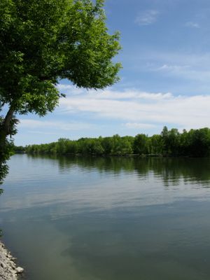
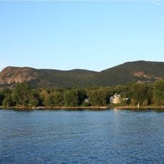
The Richelieu River is a tributary that flows from Lake Champlain to the St. Lawrence River through the Montérégie region, cutting through sedimentary rock layers. Multiple smaller waterways feed into it from surrounding highlands and lowlands.
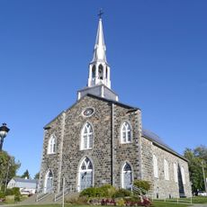
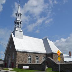
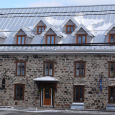
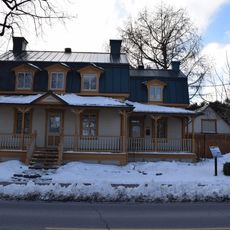
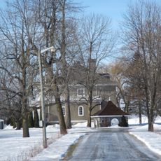
The waterway became a strategic connection between European settlements starting in the 17th century and served as a defensive line against invasions. Military fortifications rose along its length to protect French interests in North America.
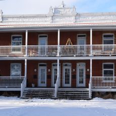
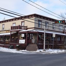
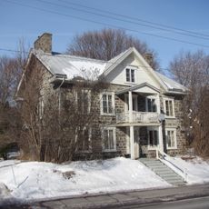
The river served as a vital trade route and territorial boundary for Indigenous peoples and later French settlers. Today, the names of surrounding communities reflect this colonial past and show how the waterway shaped human settlement.
The shoreline offers several points for boats to dock and for fishing, especially at calmer sections below rapids. The best time for travel is late spring through early fall, when water levels remain stable and weather is predictable.
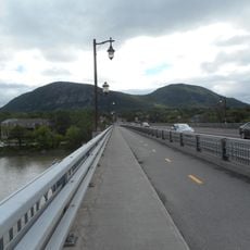
A historic canal with multiple locks connects this river to waterways in the United States, allowing boats to travel between two countries. The system demonstrates how people have reshaped water corridors for transportation.
The community of curious travelers
AroundUs brings together thousands of curated places, local tips, and hidden gems, enriched daily by 60,000 contributors worldwide.