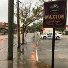
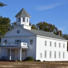
Maxton, human settlement in North Carolina, United States of America
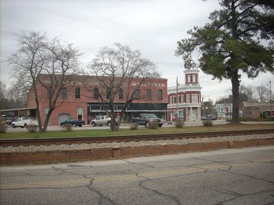
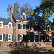
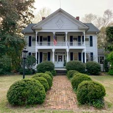
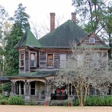
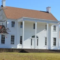
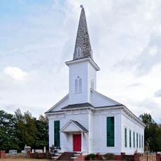
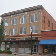
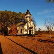
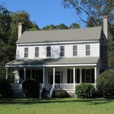
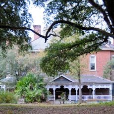
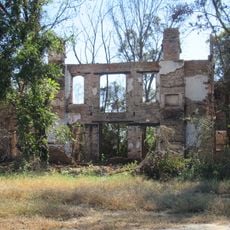
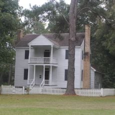
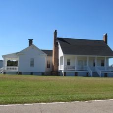
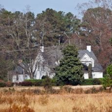
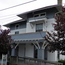
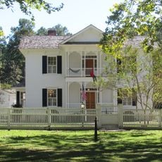
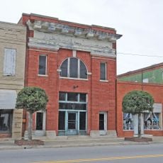
Maxton is a small town in North Carolina, United States, spanning about two square miles. The streets are quiet, with a mix of older and newer buildings throughout, giving the place a reflective feeling.
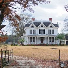
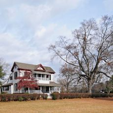
The area was first settled in the 18th century and initially developed as a shoe-making center. The town received its current name Maxton in 1887 to honor Scottish settlers and their connections to their homeland.
The name Maxton comes from Scottish settlers who shaped the region and kept their traditions alive. The town still shows traces of this Scottish heritage in local customs and historic sites.
The terrain is flat, at about 200 feet above sea level, and easily navigable on foot. Most places can be reached via local roads, and the surrounding countryside is readily accessible.
In 1958, residents, especially members of the Lumbee tribe, stood up to a Ku Klux Klan rally nearby, a bold moment in the civil rights movement. This event, known as the Battle of Hayes Pond, is celebrated yearly by the Lumbee community.
The community of curious travelers
AroundUs brings together thousands of curated places, local tips, and hidden gems, enriched daily by 60,000 contributors worldwide.