
North Branford, human settlement in Connecticut, United States of America
Location: South Central Connecticut Planning Region
Location: New Haven County
Inception: 1831
Elevation above the sea: 63 m
Website: http://townofnorthbranfordct.com
GPS coordinates: 41.35694,-72.76806
Latest update: March 3, 2025 01:00
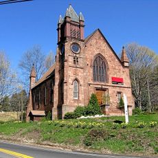
Northford Center Historic District
5 km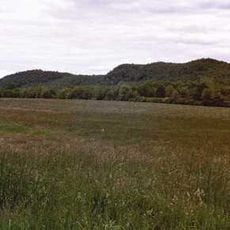
Pistapaug Mountain
8.7 km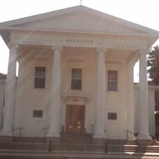
Branford Town Hall
9.1 km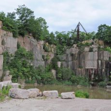
Norcross Brothers Granite Quarry
8.4 km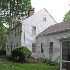
Edward Frisbie Homestead
9.1 km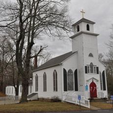
Meeting House Hill Historic District
3.6 km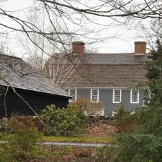
Elisha Pitkin House
7.2 km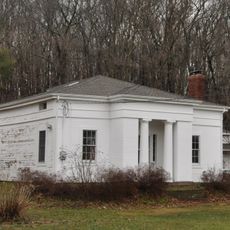
George Baldwin House
4.2 km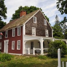
Edward Frisbie House
6 km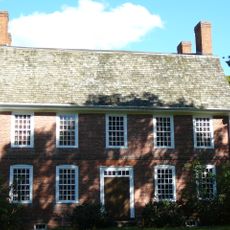
John Barker House
7.8 km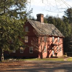
Howd-Linsley House
5.8 km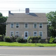
Solomon Tyler House
7.6 km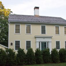
Hezekiah Palmer House
9.2 km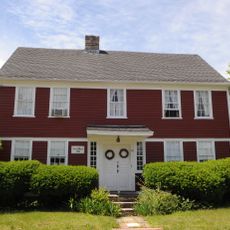
Samuel Beach House
8.4 km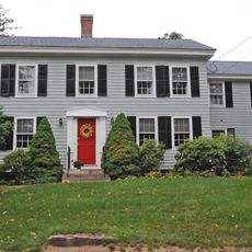
Timothy Baldwin House
7.9 km
Pines Bridge Historic District
9.3 km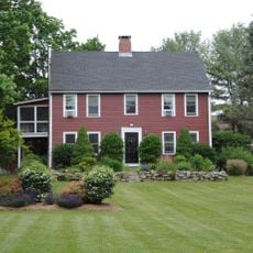
John Hoadley House
7.8 km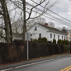
Isaac Hoadley House
8.5 km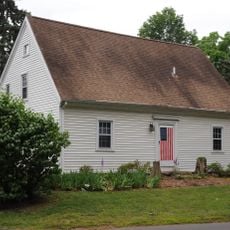
House at 161 Damascus Road
8.1 km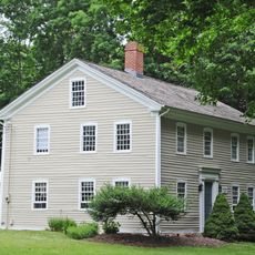
Zaccheus Baldwin House
8 km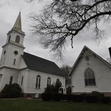
North Branford Center Historic District
3.1 km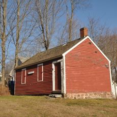
Fourth District School
4.6 km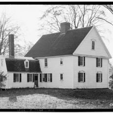
Warham Williams House
4.4 km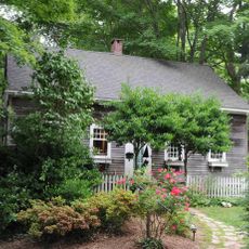
House at 29 Flat Rock Road
8.1 km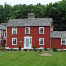
Orrin Hoadley House
8.3 km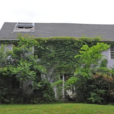
Eliphalet Howd House
6.1 km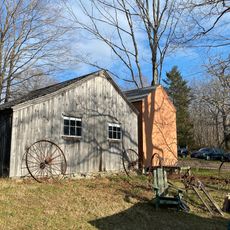
Dudley Farm
4 km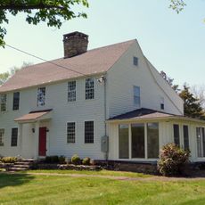
John Tyler House
7.7 kmVisited this place? Tap the stars to rate it and share your experience / photos with the community! Try now! You can cancel it anytime.
Discover hidden gems everywhere you go!
From secret cafés to breathtaking viewpoints, skip the crowded tourist spots and find places that match your style. Our app makes it easy with voice search, smart filtering, route optimization, and insider tips from travelers worldwide. Download now for the complete mobile experience.

A unique approach to discovering new places❞
— Le Figaro
All the places worth exploring❞
— France Info
A tailor-made excursion in just a few clicks❞
— 20 Minutes