South Central Connecticut Planning Region
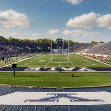
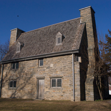
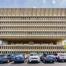
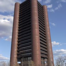
South Central Connecticut Planning Region, planning region in Connecticut, United States
Location: Connecticut
Shares border with: Greater Bridgeport Planning Region, Naugatuck Valley Planning Region, Capitol Planning Region, Lower Connecticut River Valley Planning Region
Website: https://scrcog.org
GPS coordinates: 41.36000,-72.82000
Latest update: March 7, 2025 04:22
Yale Bowl
12.9 km
Holy Land USA
27.2 km
Yale University Art Gallery
10.9 km
Sleeping Giant
9.8 km
Yale Center for British Art
10.9 km
Castle Craig
21.9 km
Hammonasset Beach State Park
24.5 km
New Haven Green
10.7 km
Henry Whitfield House
15.1 km
Harkness Tower
10.7 km
Toad's Place
10.6 km
Grove Street Cemetery
10.4 km
Pearl Harbor Memorial Bridge
9.8 km
Hotel Marcel
10.9 km
Knights of Columbus Building
11 km
Yale Art and Architecture Building
10.2 km
Mory's
10.6 km
Connecticut Hall
10.8 km
Yale Repertory Theatre
11 km
Arrigoni Bridge
27.3 km
Savin Rock Amusement Park
15.8 km
Wooster Square
10.3 km
Lipstick on Caterpillar Tracks
10.6 km
Portland Brownstone Quarries
28.2 km
Silver Sands State Park
27.5 km
Lillian Goldman Law Library
10.5 km
Eli Whitney Museum
8 km
Yale Golf Course
14.6 kmReviews
Visited this place? Tap the stars to rate it and share your experience / photos with the community! Try now! You can cancel it anytime.
Discover hidden gems everywhere you go!
From secret cafés to breathtaking viewpoints, skip the crowded tourist spots and find places that match your style. Our app makes it easy with voice search, smart filtering, route optimization, and insider tips from travelers worldwide. Download now for the complete mobile experience.
A unique approach to discovering new places❞
— Le Figaro
All the places worth exploring❞
— France Info
A tailor-made excursion in just a few clicks❞
— 20 Minutes