Enable Location

We need your location to show you interesting places around you

Discover nearby places

Find interesting locations and hidden gems around you

Precise directions

Get accurate directions and distances to places

Your location is never shared with other users. It's only used when you tap the location button.

Old Lyme

Log in to your account

Start exploring — it's free

Trusted by 61,489 travelers worldwide

Continue with Google
Continue with Apple
or

We will send you a code to connect

By continuing, you accept our Terms and Conditions and our Privacy Policy

Check your inbox

We've sent a pincode in your inbox. Please enter the code below.

Old Lyme, Coastal town in Lower Connecticut River Valley, United States.

Description

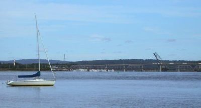
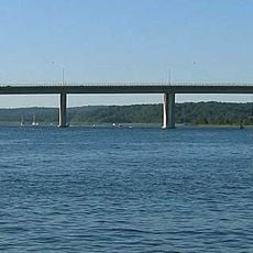
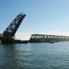
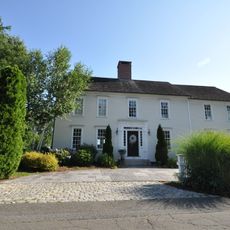
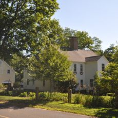
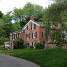
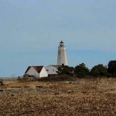
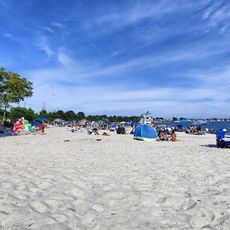
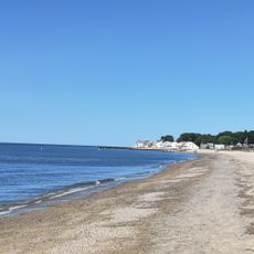
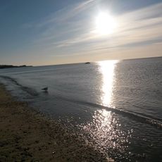
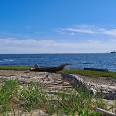
Old Lyme is a coastal town where the Connecticut River meets the sea, featuring salt marshes, wetland areas, and wooded hills throughout its landscape. The community spans roughly 29 square miles with a mix of natural spaces and residential areas.

History

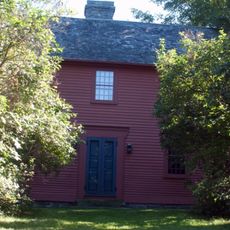
The area originated as part of Saybrook Colony and was known as East Saybrook starting in 1665 before it separated and took its current name in 1855. The name honors Lyme Regis in England and reflects the settler heritage of that era.

Culture

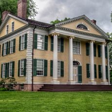
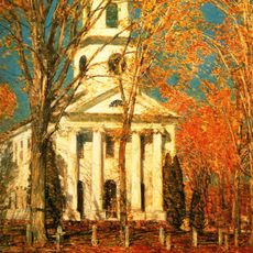
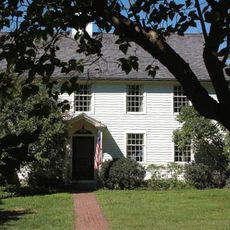
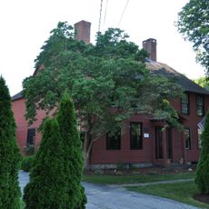
The Florence Griswold House served as a gathering place in the early 1900s where painters came to create works inspired by the river views and coastal beauty. This artistic community shaped how the town is remembered as an arts destination.

Practical

You can explore the waterfront and natural areas on foot, with trails and pathways throughout the region. The town offers basic services and amenities, though it is best visited in warmer months when outdoor access is easier.

Did you know?

Rogers Lake has a local legend about a supposed lake creature named Roger that has been told for generations. The lake remains a gathering spot where seasonal visitors arrive throughout the year to explore the waters and hear these traditional stories.

Inception
1855
Elevation above the sea
6 m
GPS coordinates
41.31722,-72.30306
Latest update
December 20, 2025 03:01

AroundUs brings together thousands of curated places, local tips, and hidden gems, enriched daily by 60,000 contributors worldwide. Discover all places nearby (Lower Connecticut River Valley Planning Region).

Around this place
Florence Griswold Museum
United States of America

Florence Griswold Museum

2.2 km
Raymond E. Baldwin Bridge
United States of America

Raymond E. Baldwin Bridge

3.7 km
Amtrak Old Saybrook – Old Lyme Bridge
United States of America

Amtrak Old Saybrook – Old Lyme Bridge

3.9 km
Old Lyme Congregational Church
United States of America

Old Lyme Congregational Church

2.5 km
Black Horse Tavern
United States of America

Black Horse Tavern

5.4 km
Connecticut Valley Railroad Roundhouse and Turntable Site
United States of America

Connecticut Valley Railroad Roundhouse and Turntable Site

5.5 km
William Tully House
United States of America

William Tully House

5.5 km
Peck Tavern
United States of America

Peck Tavern

2.3 km
John Whittlesey Jr. House
United States of America

John Whittlesey Jr. House

4.9 km
North Cove Historic District
United States of America

North Cove Historic District

5.8 km
Springbank
United States of America

Springbank

3.3 km
Jedidiah Dudley House
United States of America

Jedidiah Dudley House

5.1 km
Old Lyme Historic District
United States of America

Old Lyme Historic District

2.4 km
Samuel Eliot House
United States of America

Samuel Eliot House

6.6 km
United States of America

Watch Rock Park

2.7 km
Lynde Point Light
United States of America

Lynde Point Light

6.1 km
Rocky Neck State Park Bathing Beach
United States of America

Rocky Neck State Park Bathing Beach

4.9 km
Soundview Beach
United States of America

Soundview Beach

4.3 km
Miami Beach
United States of America

Miami Beach

4.2 km
Lynde Point Light
United States of America

Lynde Point Light

6.1 km
Poverty Island Beach
United States of America

Poverty Island Beach

4.6 km
United States of America

Hains Park

3.6 km
United States of America

Goodwins Pond

4.9 km
United States of America

Black Hall Club

2.8 km
United States of America

Scenic viewpoint

3.6 km
United States of America

Scenic viewpoint

4.7 km
United States of America

Scenic viewpoint

2.5 km
United States of America

Scenic viewpoint

3.5 km
Show the full map
« Old Lyme - Coastal town in Lower Connecticut River Valley, United States » is provided by Around Us (aroundus.com). Images and texts are derived from Wikimedia project under a Creative Commons license. You are allowed to copy, distribute, and modify copies of this page, under the conditions set by the license, as long as this note is clearly visible.

Discover hidden gems everywhere you go!

From secret cafés to breathtaking viewpoints, skip the crowded tourist spots and find places that match your style. Our app makes it easy with voice search, smart filtering, route optimization, and insider tips from travelers worldwide. Download now for the complete mobile experience.

Around Us App Screenshot

A unique approach to discovering new places

Le Figaro

All the places worth exploring

France Info

A tailor-made excursion in just a few clicks

20 Minutes

Around Us
Travel Guide & Maps
Download

Send to your phone

QR Code
1

Open the camera app on your mobile.

2

Point at the QR code with your camera. A notification will appear.

3

Tap the notification to open the link.