Emerald Isle

Log in to your account

AroundUs is a community-driven map of interesting places, built by curious explorers like you. It grows with every review, story, and photo you share.
Connect to save your favorite spots, contribute locations, and create personalized routes.
Continue with Google
Continue with Apple
Continue with X
Continue with Facebook
Continue with email
By continuing, you accept our Terms and Conditions and our Privacy Policy
Create an account
Add to collection
Map
Suggest a change
Share

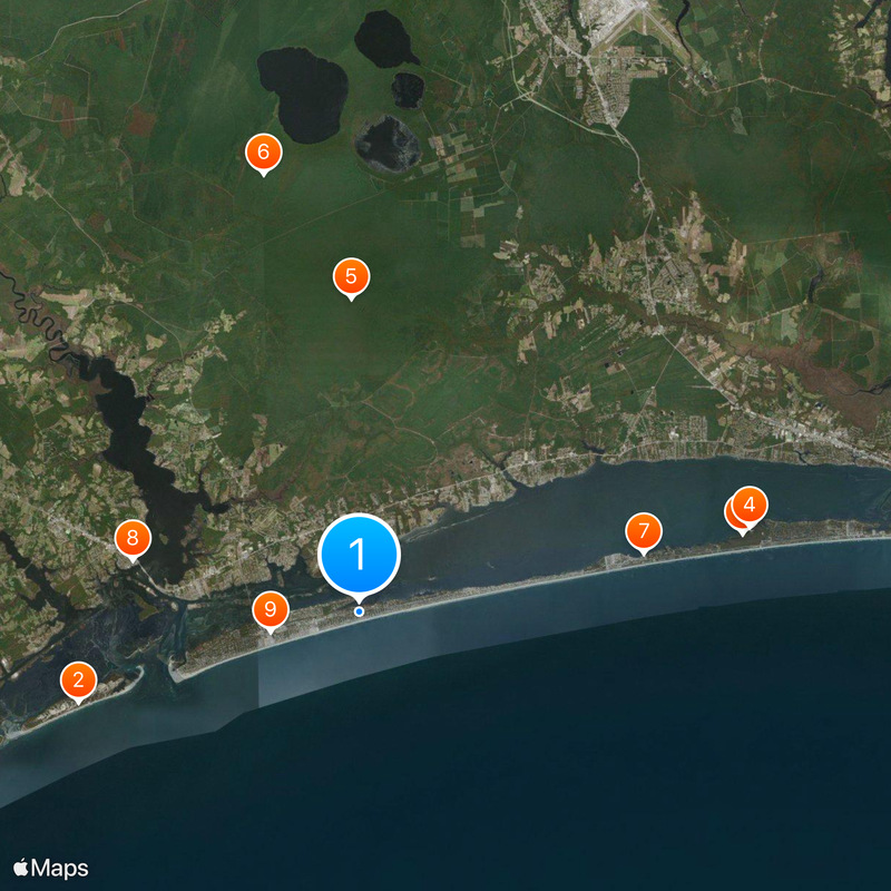
Emerald Isle, Coastal administrative division in Carteret County, North Carolina, US

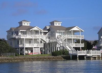
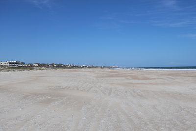
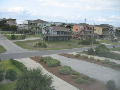
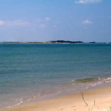
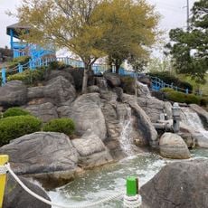
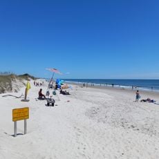
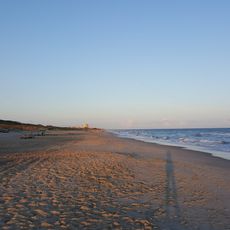
Emerald Isle is a coastal town along Bogue Banks with direct access to the Atlantic Ocean across multiple miles of sandy beach. The built area contains several neighborhoods of homes and businesses laid out in a grid pattern with streets leading to different beach sections.

The land was purchased by investors in 1951 and subdivided into residential blocks, launching what became this modern coastal settlement. A bridge completed in 1971 provided permanent road access to the mainland, transforming the area from seasonal to year-round accessibility.

The town focuses on protecting sea turtles that nest here, with volunteers monitoring the beaches during breeding season. This commitment shapes how locals and visitors view the relationship between development and marine wildlife.

This destination works best during warmer months when beach access is most comfortable and visitor services operate fully. The flat terrain makes walking and exploring the area straightforward with no significant elevation challenges throughout the town.

The area was originally accessible only during warm months and became a year-round community only after the bridge was built. This transformation from a seasonal retreat to a permanent settlement continues to influence how visitors experience the place today.

Location: Carteret County

Inception: 1951

Elevation above the sea: 3 m

Shares border with: Bogue Banks

Website: https://emeraldisle-nc.org

GPS coordinates: 34.66690,-77.01360

Latest update: December 14, 2025 17:49

Photos
Around this place
Show the full map
Reviews

Visited this place? Tap the stars to rate it and share your experience / photos with the community! Try now! You can cancel it anytime.

« Emerald Isle - Coastal administrative division in Carteret County, North Carolina, US » is provided by Around Us (aroundus.com). Images and texts are derived from Wikimedia project under a Creative Commons license. You are allowed to copy, distribute, and modify copies of this page, under the conditions set by the license, as long as this note is clearly visible.

Discover hidden gems everywhere you go!

From secret cafés to breathtaking viewpoints, skip the crowded tourist spots and find places that match your style. Our app makes it easy with voice search, smart filtering, route optimization, and insider tips from travelers worldwide. Download now for the complete mobile experience.

Around Us App Screenshot

A unique approach to discovering new places

Le Figaro

All the places worth exploring

France Info

A tailor-made excursion in just a few clicks

20 Minutes