
Rowland, human settlement in Robeson County, North Carolina, United States of America
Location: Robeson County
Elevation above the sea: 44 m
GPS coordinates: 34.53528,-79.29250
Latest update: March 28, 2025 17:12
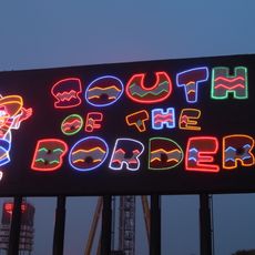
South of the Border
4.5 km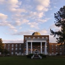
Flora MacDonald College
27.1 km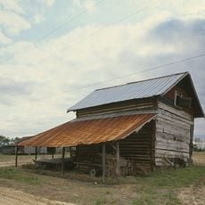
Smith Tobacco Barn
21.8 km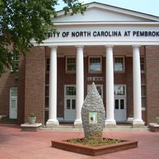
Old Main
18.6 km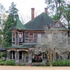
Clio Historic District
23.8 km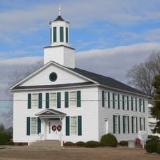
Ashpole Presbyterian Church
2.3 km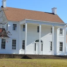
Dr. Evan Alexander Erwin House
26.7 km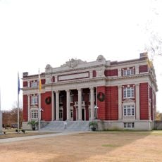
Dillon County Courthouse
15.1 km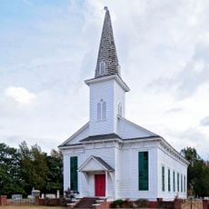
St. Paul's Methodist Church
12 km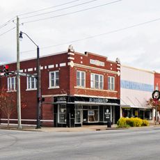
Dillon Downtown Historic District
25.5 km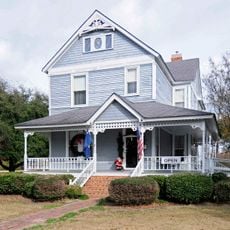
James W. Dillon House
15 km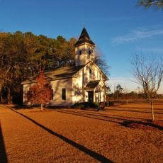
Centenary Methodist Church
6.1 km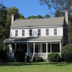
Stewart-Hawley-Malloy House
26 km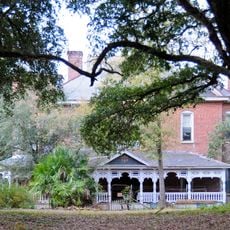
Hamer Hall
6.3 km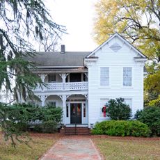
Latta Historic District No. 1
25.3 km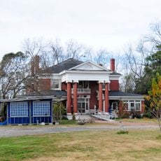
James W. Hamer House
13.1 km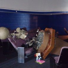
Robeson Planetarium and Science Center
23.7 km
McMillan House
25.7 km
Alfred Rowland House
27.3 km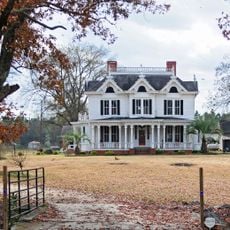
McLaurin House
22.7 km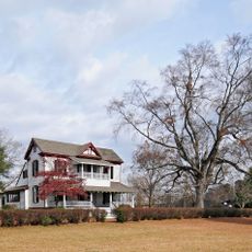
McLaurin-Roper-McColl Farmstead
26.5 km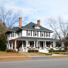
Latta Historic District No. 2
25.3 km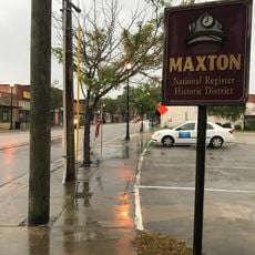
Maxton Historic District
23.1 km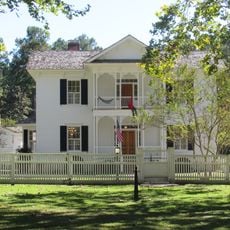
McRae-McQueen House
25.3 km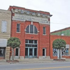
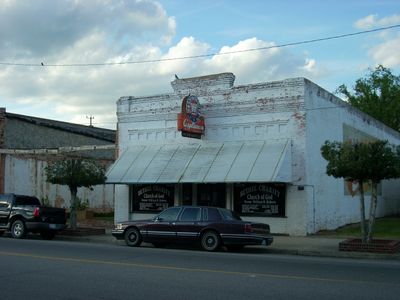
Rowland Main Street Historic District
201 m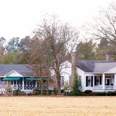
Selkirk Farm
20.8 km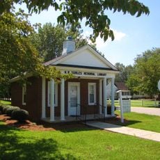
W.R. Surles Memorial Library
24.3 km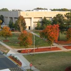
Givens Performing Arts Center
19.1 kmReviews
Visited this place? Tap the stars to rate it and share your experience / photos with the community! Try now! You can cancel it anytime.
Discover hidden gems everywhere you go!
From secret cafés to breathtaking viewpoints, skip the crowded tourist spots and find places that match your style. Our app makes it easy with voice search, smart filtering, route optimization, and insider tips from travelers worldwide. Download now for the complete mobile experience.

A unique approach to discovering new places❞
— Le Figaro
All the places worth exploring❞
— France Info
A tailor-made excursion in just a few clicks❞
— 20 Minutes