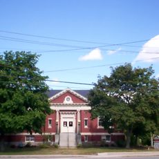
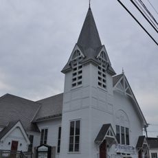
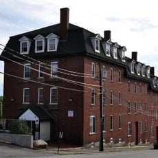
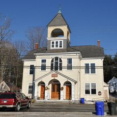
Goffstown, town in New Hampshire, United States
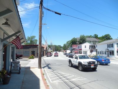
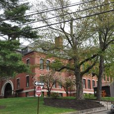
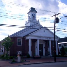
Goffstown is a town in Hillsborough County, New Hampshire, with a mix of residential neighborhoods, commercial areas, and rural land at its edges. The town features traditional single-family homes, small business districts along main roads, and open farmland that shape its character.
Goffstown was founded in the 1700s as a colonial settlement and grew into an established community. Its early development was shaped by farming and local commerce that defined the region.
The best way to explore the area is by car, as the town is spread out and services are distributed across different zones. Visitors should focus on the main roads where most shops and points of interest are located.
The community of curious travelers
AroundUs brings together thousands of curated places, local tips, and hidden gems, enriched daily by 60,000 contributors worldwide.