
Francestown, town in New Hampshire
Location: Hillsborough County
Inception: 1772
Elevation above the sea: 253 m
Website: http://francestown-nh.gov
GPS coordinates: 42.98750,-71.81250
Latest update: March 16, 2025 02:52
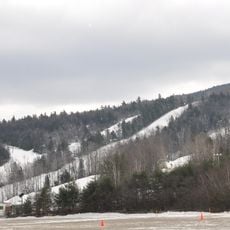
Crotched Mountain
5.1 km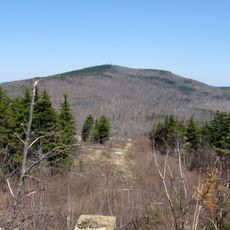
Pack Monadnock
15 km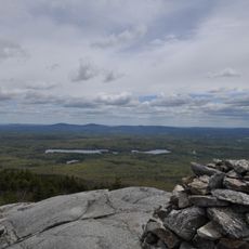
North Pack Monadnock
12.1 km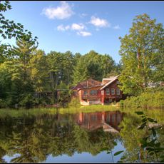
Daniel Cragin Mill
14.8 km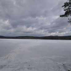
Greenfield State Park
7 km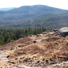
Wapack National Wildlife Refuge
12.4 km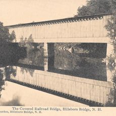
Hillsborough Railroad Bridge
15.6 km
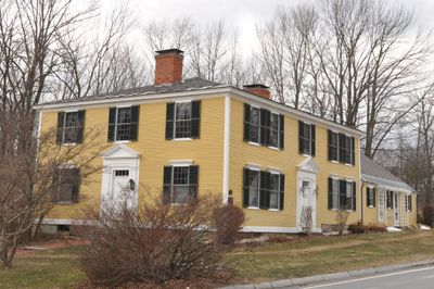
Levi Woodbury Homestead
75 m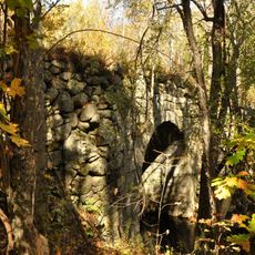
County Farm Bridge
14.5 km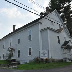
Citizens' Hall
12.3 km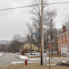
Hancock Village Historic District
14 km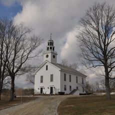
Greenfield Meeting House
6.4 km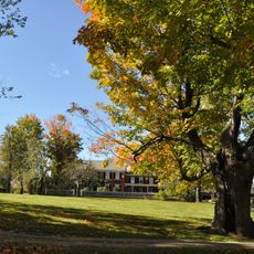
Oliver Whiting Homestead
14.8 km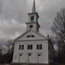
Francestown Meetinghouse
41 m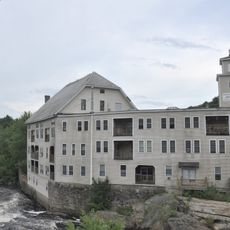
Contoocook Mills Industrial District
15.5 km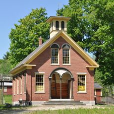
North Weare Schoolhouse
14.7 km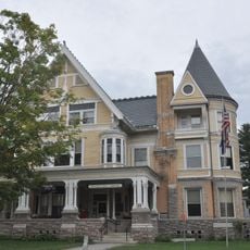
Gov. John Butler Smith House
15.9 km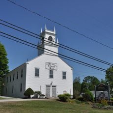
Weare Town House
13.8 km
Old County Road South Historic District
1.6 km
Amos Chase House and Mill
14.4 km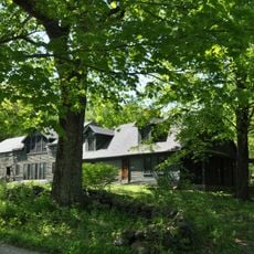
Caleb Whittaker Place
8.7 km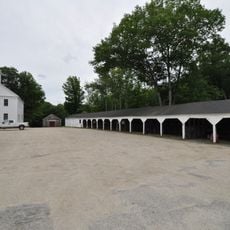
Francestown Town Hall and Academy and Town Common Historic District
66 m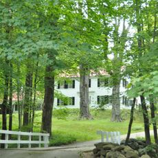
Hamblet-Putnam-Frye House
14.7 km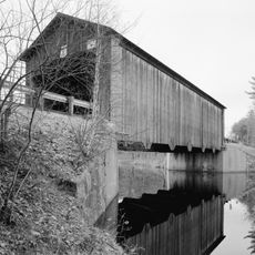
Hancock-Greenfield Bridge
10.6 km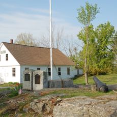
Lyndeborough Center Historic District
9.8 km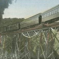
Alcott Trestle
14.6 km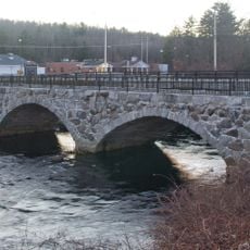
Sawyer Bridge
16.3 km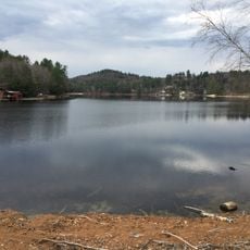
Weare Reservoir
12.5 kmVisited this place? Tap the stars to rate it and share your experience / photos with the community! Try now! You can cancel it anytime.
Discover hidden gems everywhere you go!
From secret cafés to breathtaking viewpoints, skip the crowded tourist spots and find places that match your style. Our app makes it easy with voice search, smart filtering, route optimization, and insider tips from travelers worldwide. Download now for the complete mobile experience.

A unique approach to discovering new places❞
— Le Figaro
All the places worth exploring❞
— France Info
A tailor-made excursion in just a few clicks❞
— 20 Minutes