
Sharon, human settlement in Hillsborough County, New Hampshire, United States of America
Location: Hillsborough County
Inception: 1791
Elevation above the sea: 359 m
Website: http://www.sharonnh.org/
Website: http://sharonnh.org
GPS coordinates: 42.81306,-71.91556
Latest update: March 17, 2025 05:17
MacDowell
9.2 km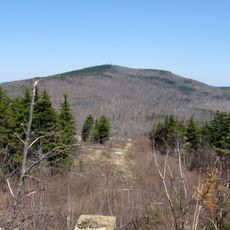
Pack Monadnock
6.2 km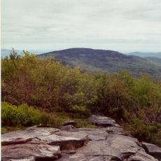
Wapack Trail
2 km
Miller State Park
5.3 km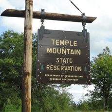
Temple Mountain
3.9 km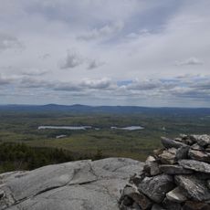
North Pack Monadnock
9.1 km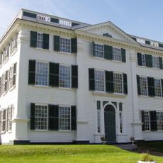
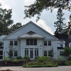
Barrett House
8.2 km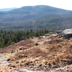
Wapack National Wildlife Refuge
8.8 km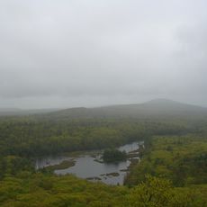
Pratt Mountain
8.9 km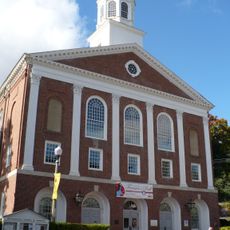
Peterborough Town House
7.7 km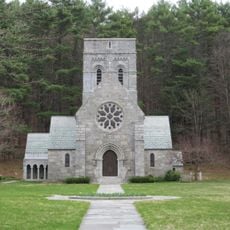
All Saints Church
7.9 km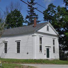
New Ipswich Town Hall
8.8 km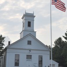
Temple Town Hall
5.2 km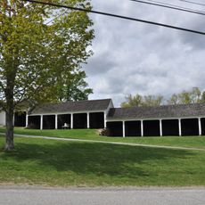
Second Rindge Meetinghouse, Horsesheds and Cemetery
10.5 km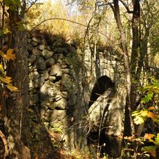
County Farm Bridge
9.4 km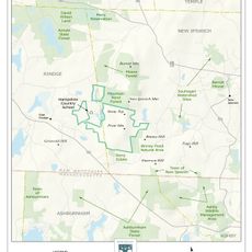
Wapack Wilderness
9 km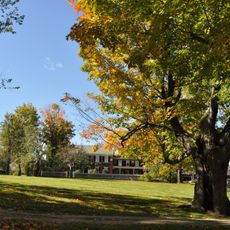
Oliver Whiting Homestead
8.9 km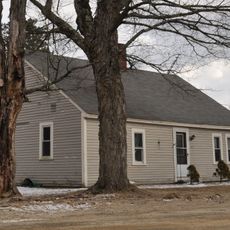
Solomon Piper Farm
9.7 km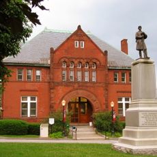
East Jaffrey Historic District
8.9 km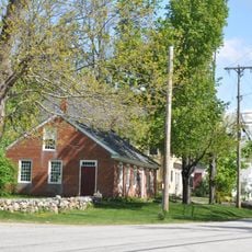
New Ipswich Center Village Historic District
8.3 km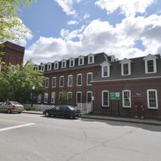
Jaffrey Mills
8.8 km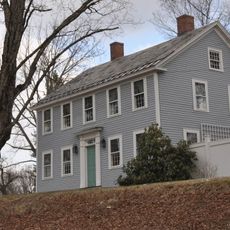
Ivory Perry Homestead
9.9 km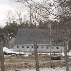
Frost Farm
11.1 km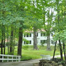
Hamblet-Putnam-Frye House
11.2 km
Brackett House
9.9 km
Rufus Piper Homestead
9.7 km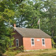
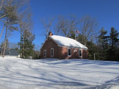
Brick Schoolhouse
179 m
John Perry Homestead
10.4 kmReviews
Visited this place? Tap the stars to rate it and share your experience / photos with the community! Try now! You can cancel it anytime.
Discover hidden gems everywhere you go!
From secret cafés to breathtaking viewpoints, skip the crowded tourist spots and find places that match your style. Our app makes it easy with voice search, smart filtering, route optimization, and insider tips from travelers worldwide. Download now for the complete mobile experience.

A unique approach to discovering new places❞
— Le Figaro
All the places worth exploring❞
— France Info
A tailor-made excursion in just a few clicks❞
— 20 Minutes