
Colebrook, town in Litchfied County, Connecticut, United States of America
Location: Northwest Hills Planning Region
Location: Litchfield County
Inception: 1779
Elevation above the sea: 293 m
Website: http://colebrooktownhall.org
GPS coordinates: 42.00139,-73.08444
Latest update: March 8, 2025 05:12

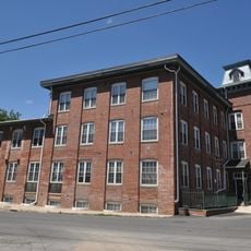
Gilbert Clock Factory
8.2 km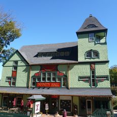
Infinity Hall
9.6 km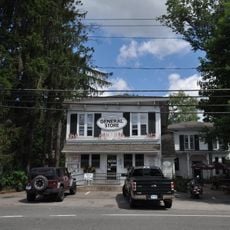
Riverton Historic District
7.1 km
American Legion State Forest
9.5 km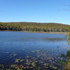
Beckley Bog
7.4 km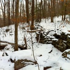
American Legion State Forest Trails
9.7 km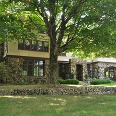
Rock Hall
4.7 km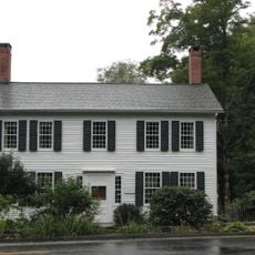
Philemon Sage House
8.1 km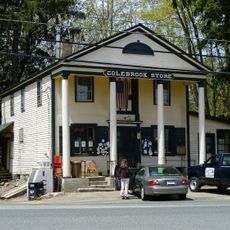
Colebrook Store
1.7 km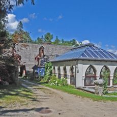
Hillside
9.6 km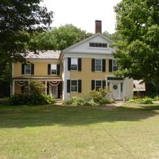
Phelps Farms Historic District
3 km
Starling Childs Camp
6 km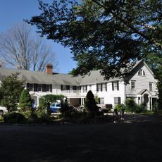
Low House
8.6 km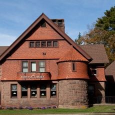
Norfolk Historic District
9.6 km
Rockwell House
9 km
William Moore Jr. House
7.1 km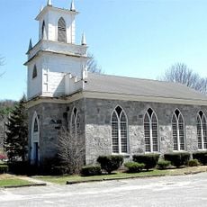
Union Church/St. Paul's Church
6.9 km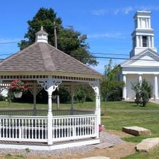
Winsted Green Historic District
9.1 km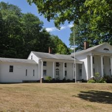
Solomon Rockwell House
8.6 km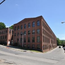
Winsted Hosiery Mill
8.9 km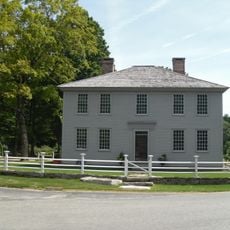
Arah Phelps Inn
3.1 km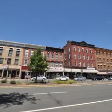
West End Commercial District
9 km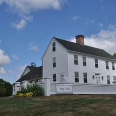
Colebrook Center Historic District
1.6 km
John Shepard House
9.3 km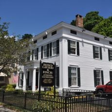
Moses Camp House
8.6 km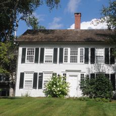
Francis Benedict Jr. House
6.4 km
Noble House
8.5 km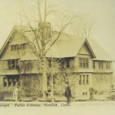
Norfolk Public Library
9.6 kmReviews
Visited this place? Tap the stars to rate it and share your experience / photos with the community! Try now! You can cancel it anytime.
Discover hidden gems everywhere you go!
From secret cafés to breathtaking viewpoints, skip the crowded tourist spots and find places that match your style. Our app makes it easy with voice search, smart filtering, route optimization, and insider tips from travelers worldwide. Download now for the complete mobile experience.

A unique approach to discovering new places❞
— Le Figaro
All the places worth exploring❞
— France Info
A tailor-made excursion in just a few clicks❞
— 20 Minutes