Chest opened
+${chestReward.xp} XP
Explorer
NOUVEAU ×${chestReward.collectible.quantity}
tapez pour fermer

See the monuments around you in AR Open chests in the app

Around Us is built for your phone — point your camera at the streets and discover the monuments and places around you in augmented reality. Around Us is built for your phone — chests unlock when you walk, explore and capture nearby places.

Enable Location

We need your location to show you interesting places around you

Discover nearby places

Find interesting locations and hidden gems around you

Precise directions

Get accurate directions and distances to places

Your location is never shared with other users. It's only used when you tap the location button.

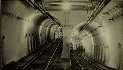
Tremont Street Subway

Log in to your account

Start exploring — it's free

Trusted by 85,446 travelers worldwide

Continue with Google
Continue with Apple
or

We will send you a code to connect

By continuing, you accept our Terms and Conditions and our Privacy Policy

Check your inbox

We've sent a pincode in your inbox. Please enter the code below.

Discussion Reviews 1 Photos
20.6k Popularity

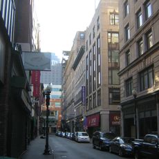
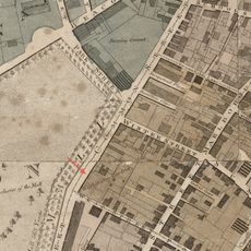
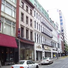
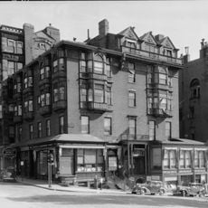
Tremont Street Subway, Subway tunnel in Downtown Boston, United States

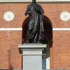
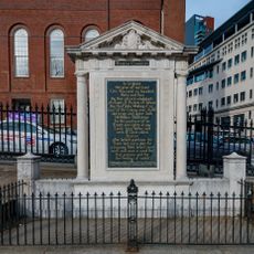
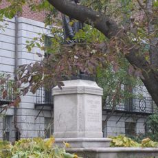
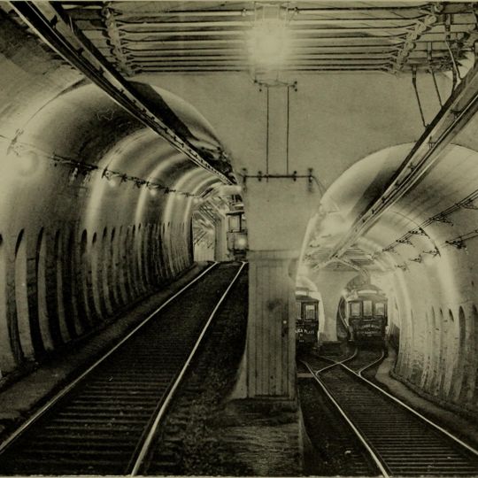
Tremont Street Subway is an underground railway tunnel running beneath downtown Boston that connects Park Street, Boylston, Government Center, and other stops along multiple routes. The tunnel carries passengers on several Green Line branches and links to the wider transit network throughout the city.

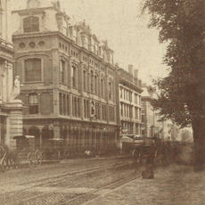
Work began in 1895 to create the first underground rapid transit tunnel in North America, which opened in 1897 to address surface traffic problems. This success demonstrated that underground rail systems could work effectively in dense cities and inspired similar projects elsewhere.

The name Tremont refers to the three hills that once defined this part of Boston before they were leveled for construction. Walking through the stations today, you see how the tunnel became woven into daily life as people moved away from crowded street surfaces.

Stations are spread throughout downtown with varying levels of accessibility through stairs and elevators at different locations. Visitors should expect to navigate stairs at some stops and be prepared for typical urban transit conditions underground.

The tunnel's construction used engineering methods that became a blueprint for subway systems built in other North American cities during the following decades. Engineers from different regions studied this project to understand how to build their own underground transit networks.

The community of curious travelers

AroundUs brings together thousands of curated places, local tips, and hidden gems, enriched daily by 60,000 contributors worldwide.
Start exploring
Location
GPS coordinates
42.35639,-71.06306
Latest update
August 31, 2026 11:32
Around this place
Massachusetts State House
United States of America

Massachusetts State House

500 ft
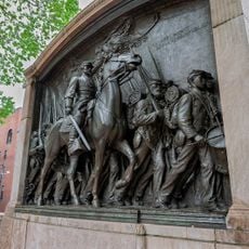
Memorial to Robert Gould Shaw and the Massachusetts Fifty-Fourth Regiment
United States of America

Memorial to Robert Gould Shaw and the Massachusetts Fifty-Fourth Regiment

420 ft
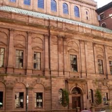
Boston Athenæum
United States of America

Boston Athenæum

0.1 mi
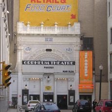
Orpheum Theatre
United States of America

Orpheum Theatre

0.1 mi
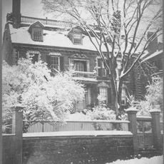
Hancock Manor
United States of America

Hancock Manor

510 ft
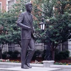
Statue of John F. Kennedy
United States of America

Statue of John F. Kennedy

0.1 mi
United States of America

Union Club of Boston

450 ft
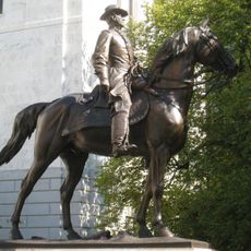
Equestrian statue of Joseph Hooker
United States of America

Equestrian statue of Joseph Hooker

0.1 mi
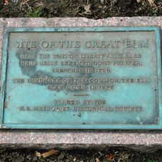
Great Elm
United States of America

Great Elm

0.1 mi
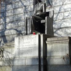
Statue of Mary Dyer
United States of America

Statue of Mary Dyer

0.1 mi
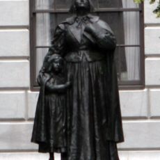
Statue of Anne Hutchinson
United States of America

Statue of Anne Hutchinson

0.1 mi
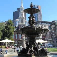
Brewer Fountain
United States of America

Brewer Fountain

70 ft
Declaration of Independence Tablet
United States of America

Declaration of Independence Tablet

0.1 mi
Statue of Horace Mann
United States of America

Statue of Horace Mann

0.1 mi
Boston Common Tablet
United States of America

Boston Common Tablet

240 ft
Statue of Daniel Webster
United States of America

Statue of Daniel Webster

0.1 mi
Statue of Henry Cabot Lodge
United States of America

Statue of Henry Cabot Lodge

0.1 mi
Studio Building
United States of America

Studio Building

0.1 mi
Congregational Library
United States of America

Congregational Library

0.1 mi
William C. Nell House
United States of America

William C. Nell House

0.1 mi
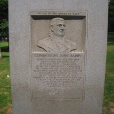
John Barry Tablet
United States of America

John Barry Tablet

290 ft
Chester Harding House
United States of America

Chester Harding House

0.1 mi
West Street District
United States of America

West Street District

0.1 mi
Washington Gardens
United States of America

Washington Gardens

440 ft
Temple Place Historic District
United States of America

Temple Place Historic District

520 ft
Amory-Ticknor House
United States of America

Amory-Ticknor House

480 ft
Park Street District
United States of America

Park Street District

380 ft
Horticultural Hall
United States of America

Horticultural Hall

0.1 mi
Show the full map
Reviews
Share your experience

No review yet

Discussions
Start a discussion...

No discussion yet

« Tremont Street Subway - Subway tunnel in Downtown Boston, United States » is provided by Around Us (aroundus.com). Images and texts are derived from Wikimedia project under a Creative Commons license. You are allowed to copy, distribute, and modify copies of this page, under the conditions set by the license, as long as this note is clearly visible.

Discover hidden gems everywhere you go!

From secret cafés to breathtaking viewpoints, skip the crowded tourist spots and find places that match your style. Our app makes it easy with voice search, smart filtering, route optimization, and insider tips from travelers worldwide. Download now for the complete mobile experience.
Around Us App Screenshot

A unique approach to discovering new places

Le Figaro

All the places worth exploring

France Info

A tailor-made excursion in just a few clicks

20 Minutes

Around Us
Travel Guide & Maps
Download

Send to your phone

QR Code
1

Open the camera app on your mobile.

2

Point at the QR code with your camera. A notification will appear.

3

Tap the notification to open the link.