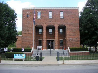
Beattyville, Administrative center in Lee County, Kentucky, United States.
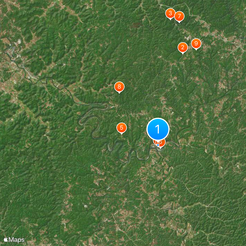
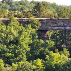
Beattyville is a town at the confluence of the North and South Forks of the Kentucky River, surrounded by the Daniel Boone National Forest. The town sits in rolling valleys with access to trails and natural surroundings.
The Kentucky General Assembly established the settlement in 1851 and named it after Samuel Beatty. The town was officially incorporated with its current name in 1872.
The Woolly Worm Festival each October draws people to celebrate with local music, food, and caterpillar racing. This gathering has become central to how the community expresses itself since its beginning in 1988.
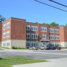
The Lee County Middle High School and Lee County Elementary School are the main schools in the area that visitors may encounter. Plan your visit during fall to experience the community festival and its events.
The Three Forks Regional Jail and public institutions are now the main employers in town. This shift reflects how the local economy has transformed since coal mining operations ended.
The community of curious travelers
AroundUs brings together thousands of curated places, local tips, and hidden gems, enriched daily by 60,000 contributors worldwide.