
Bolton, town in Worcester County, Massachusetts, United States
Location: Worcester County
Inception: 1682
Elevation above the sea: 118 m
Shares border with: Harvard
Website: http://townofbolton.com
GPS coordinates: 42.43333,-71.60833
Latest update: March 3, 2025 22:11
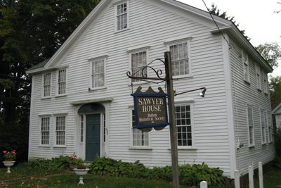
Fruitlands Museum
6.7 km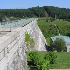
Wachusett Dam
7.3 km
St. Benedict Abbey
6 kmAssabet River Rail Trail
6.1 km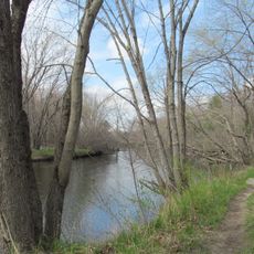
Oxbow National Wildlife Refuge
7.2 kmMuseum of Russian Icons
6.5 km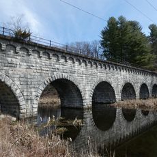
Wachusett Aqueduct
7.7 km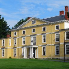
Nathaniel Thayer Estate
6.1 km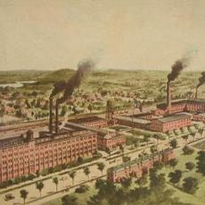
Firestone-Apsley Rubber Company
5 km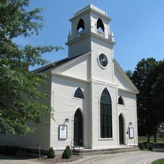
Still River Baptist Church
6.5 km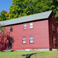
Bullard House
6.2 km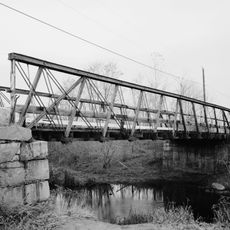
Atherton Bridge
5.4 km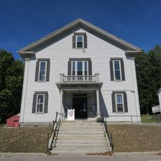
Berlin Town Hall
6.2 km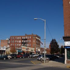
Downtown Clinton Historic District
6.4 km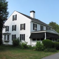
North Village Historic District
7.2 km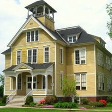
Founder's Hall
6.5 km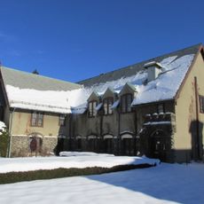
First Methodist Church
6.5 km
Frederick Fiske and Gretchen Osgood Warren House
6.5 km
Col. Adelbert Mossman House
6 km
Center Village District
5.9 km
Whitcomb Inn and Farm
2.6 km
Brown-Stow House
5.9 km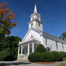
Bolton Center Historic District
134 m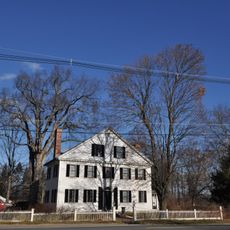
Anthony Lane House
5.9 km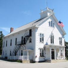
Harvard Center Historic District
7.5 km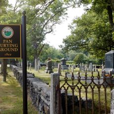
Pan Historic District
2.7 km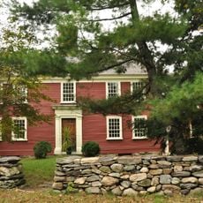
Randall-Hale Homestead
7.5 km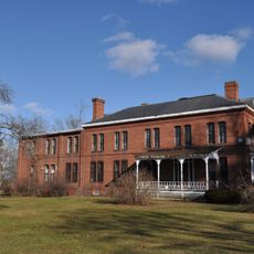
Lancaster Industrial School for Girls
4.2 kmVisited this place? Tap the stars to rate it and share your experience / photos with the community! Try now! You can cancel it anytime.
Discover hidden gems everywhere you go!
From secret cafés to breathtaking viewpoints, skip the crowded tourist spots and find places that match your style. Our app makes it easy with voice search, smart filtering, route optimization, and insider tips from travelers worldwide. Download now for the complete mobile experience.

A unique approach to discovering new places❞
— Le Figaro
All the places worth exploring❞
— France Info
A tailor-made excursion in just a few clicks❞
— 20 Minutes