Oxbow National Wildlife Refuge, National Wildlife Refuge in Middlesex County, Massachusetts.
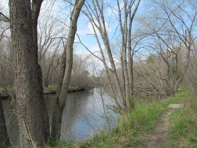
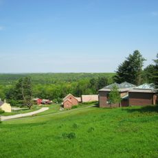
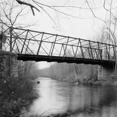
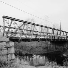
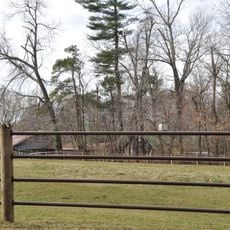
Oxbow National Wildlife Refuge is a protected area in Middlesex County, Massachusetts, made up of wetlands, forested uplands, oxbow ponds, and the Nashua River. The land sits between farmland and forest, with a network of marked trails running through it.
The land was originally part of Camp Devens, a military base established in 1917 that later became Fort Devens. In 1974, the Department of Defense transferred it to the U.S. Fish and Wildlife Service, which turned it into a wildlife refuge.
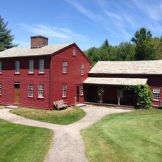
The Bill Ashe Visitor Facility hosts programs about local wildlife that are open to the public year-round. School groups and nature enthusiasts regularly use the trails for guided observation walks along the riverbank.
Several miles of marked trails wind along riverbanks and through wooded areas, making the refuge accessible on foot in most seasons. In winter, cross-country skiing is possible on the same trails, and the river can be paddled by canoe or kayak when water levels allow.
The refuge is one of the few places in Massachusetts where the Blanding's turtle, a threatened species, can still be found in noticeable numbers. This turtle can live for more than 70 years and returns to the same nesting spots year after year.
The community of curious travelers
AroundUs brings together thousands of curated places, local tips, and hidden gems, enriched daily by 60,000 contributors worldwide.