
Sebree, human settlement in Webster County, Kentucky, United States of America
Location: Webster County
Inception: 1868
Elevation above the sea: 118 m
GPS coordinates: 37.60810,-87.52940
Latest update: March 23, 2025 16:02

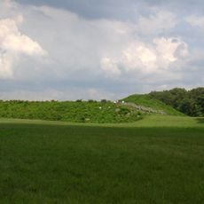
Angel Mounds
37.7 km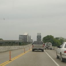
Bi-State Vietnam Gold Star Bridges
33 km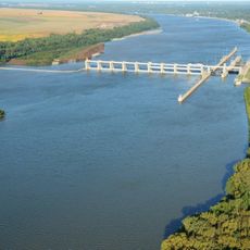
Newburgh Lock and Dam
38.3 km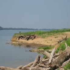
Yankeetown Site
38 km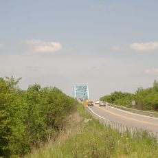
Livermore Bridge
37.5 km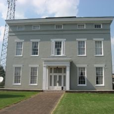
Willard Carpenter House
26.3 km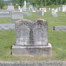
Thompson and Powell Martyrs Monument
20.5 km
Confederate Monument of Morganfield
35.1 km
Union County Courthouse
35.2 km
Camp Breckinridge Non-Commissioned Officers' Club
32.6 km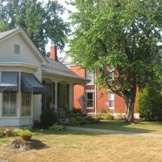
South Main and South Elm Streets Historic District
25.8 km
Madisonville Commercial Historic District
31.3 km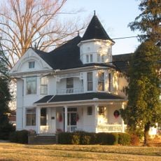
McMullin-Warren House
550 m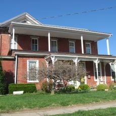
Daniel H. Hughes House
35.3 km
Zion Brick Missionary Church
12.9 km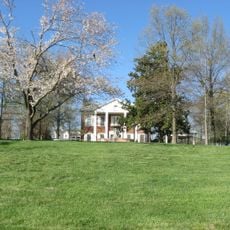
George N. Proctor House
30 km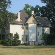
J. Hawkins Hart House
25.8 km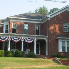
Barret House
25.9 km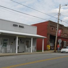
Hanson Historic District
21.7 km
Beckley Jackson House
18.2 km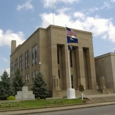
Webster County Courthouse
17.5 km
Geibel House
26.7 km
Providence Commercial Historic District
31.2 km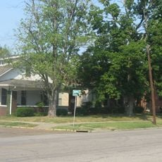
Alves Historic District
25.7 km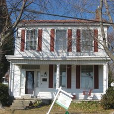
Griffith-Franklin House
25 km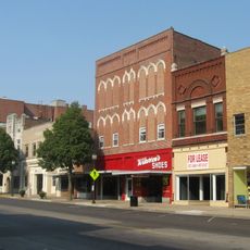
Henderson Commercial District
26.4 km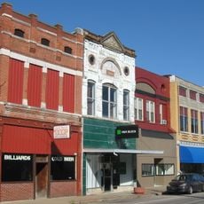
Morganfield Commercial District
35.2 km
John James Audubon State Park
30.6 kmReviews
Visited this place? Tap the stars to rate it and share your experience / photos with the community! Try now! You can cancel it anytime.
Discover hidden gems everywhere you go!
From secret cafés to breathtaking viewpoints, skip the crowded tourist spots and find places that match your style. Our app makes it easy with voice search, smart filtering, route optimization, and insider tips from travelers worldwide. Download now for the complete mobile experience.

A unique approach to discovering new places❞
— Le Figaro
All the places worth exploring❞
— France Info
A tailor-made excursion in just a few clicks❞
— 20 Minutes