Cape Cod Canal, Maritime canal in southeastern Massachusetts, United States.
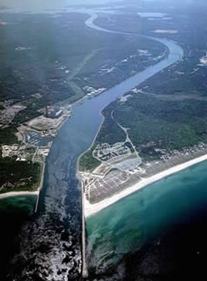
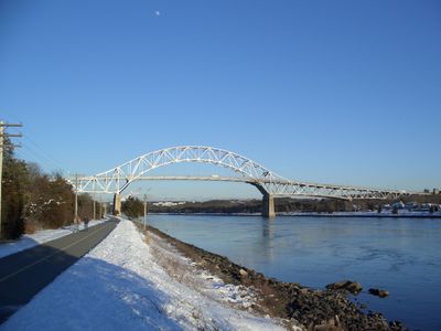
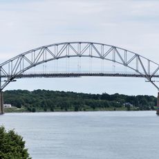
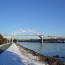
The Cape Cod Canal connects Cape Cod Bay to Buzzards Bay across a span of 17.5 miles (28 kilometers), running in a straight, wide cut through sandy embankments. The waterway measures 500 feet (150 meters) across and 32 feet (10 meters) deep, with continuous shoreline paths and grassy slopes along both sides.
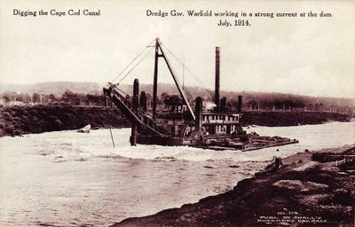
The waterway was completed in 1914 by private investors who collected tolls from passing ships. The government purchased it in 1928 and transferred operations to the Army Corps of Engineers, which eliminated the fees.
Anglers of all ages line the banks, casting into the strong tidal current for striped bass and bluefish. The paths on both sides are used daily by runners, cyclists, and families who watch the passing ships and barges.
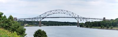
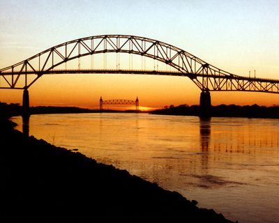
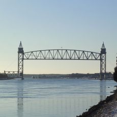
The passage shortens the distance between New York and Boston by 75 miles (120 kilometers) and saves several hours of travel time. Visitors can follow the ships from the shoreline paths or walk beneath three bridges that carry traffic over the water.
The waterway functions without locks, even though tides at both ends can differ by more than 3 feet (1 meter). This feature creates shifting currents that sometimes reach 5.5 miles per hour (9 kilometers per hour) and force captains to adjust their route.
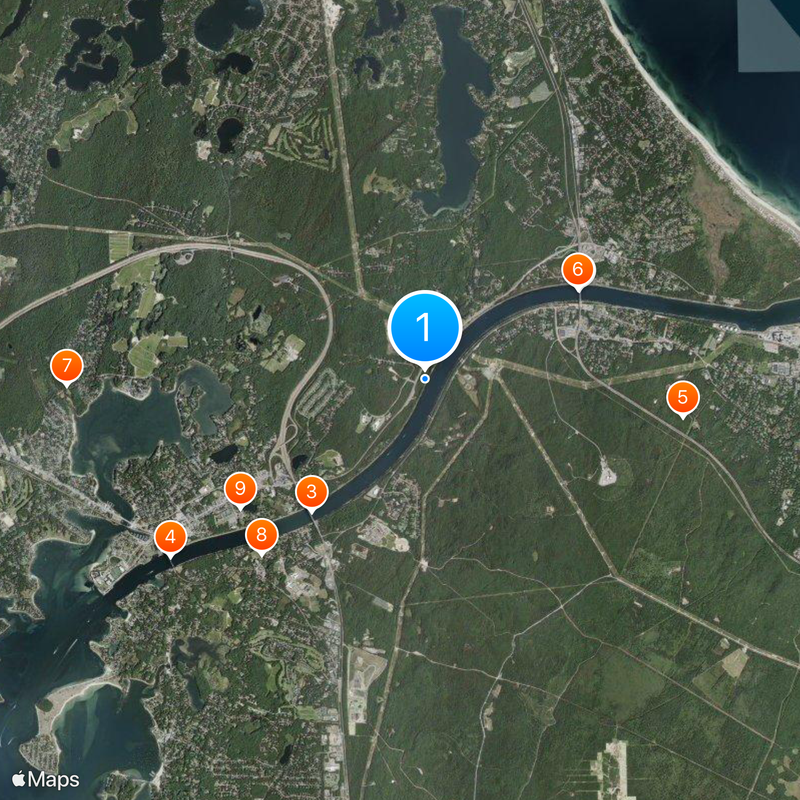
The community of curious travelers
AroundUs brings together thousands of curated places, local tips, and hidden gems, enriched daily by 60,000 contributors worldwide.