Enable Location

We need your location to show you interesting places around you

Discover nearby places

Find interesting locations and hidden gems around you

Precise directions

Get accurate directions and distances to places

Your location is never shared with other users. It's only used when you tap the location button.

Woolwich Township

Log in to your account

Start exploring — it's free

Trusted by 65,745 travelers worldwide

Continue with Google
Continue with Apple
or

We will send you a code to connect

By continuing, you accept our Terms and Conditions and our Privacy Policy

Check your inbox

We've sent a pincode in your inbox. Please enter the code below.

Discussion Reviews 1 Photos
11.6k Popularity

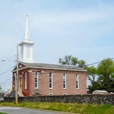
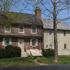
Woolwich Township, Administrative township in Gloucester County, New Jersey, United States.

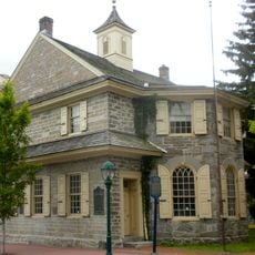
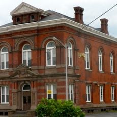
Woolwich Township is an administrative division in Gloucester County, New Jersey, encompassing residential areas, commercial zones, and farmland near Philadelphia. The municipal building on Center Square Road handles resident services such as marriage licenses, dog registrations, and official document processing.

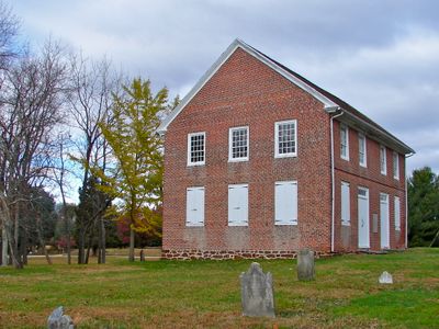
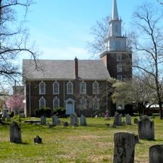
The township received its royal charter in 1767 and was established as one of New Jersey's original administrative divisions in 1798. This early founding shaped the area's development as a community over subsequent centuries.

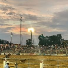
The annual Christmas Parade brings the community together for a festive celebration that winds through township streets and reflects local traditions. This event shows how residents maintain their connection and celebrate shared identity across the different neighborhoods.

Visitors can reach the municipal office on Center Square Road to address administrative needs and gather local information. The township spans diverse residential and commercial zones that are easy to navigate from the main administrative hub.

This township completely surrounds Swedesboro Borough, creating an unusual doughnut-shaped municipal configuration that is rare among New Jersey municipalities. This distinctive geographical arrangement is one of only a few such configurations in the state.

The community of curious travelers

AroundUs brings together thousands of curated places, local tips, and hidden gems, enriched daily by 60,000 contributors worldwide.

Start exploring
GPS coordinates
39.74148,-75.34806
Latest update
December 7, 2025 20:50
Around this place
Commodore Barry Bridge
United States of America

Commodore Barry Bridge

9.5 km
C. A. Nothnagle Log House
United States of America

C. A. Nothnagle Log House

11 km
William Penn Landing Site
United States of America

William Penn Landing Site

11.5 km
United States of America

Wade Dump

10.6 km
Trinity Church
United States of America

Trinity Church

3.7 km
1724 Chester Courthouse
United States of America

1724 Chester Courthouse

12 km
Cowtown Rodeo
United States of America

Cowtown Rodeo

9.4 km
Mortonson-Van Leer Log Cabin
United States of America

Mortonson-Van Leer Log Cabin

3.6 km
Delaware County National Bank
United States of America

Delaware County National Bank

11.8 km
Seven Stars Tavern
United States of America

Seven Stars Tavern

6.3 km
United States of America

J. Lewis Crozer Library

11.3 km
Oldmans Creek
United States of America

Oldmans Creek

9.1 km
Bodo Otto House
United States of America

Bodo Otto House

10.5 km
St. Martin's Church
United States of America

St. Martin's Church

9.8 km
United States of America

Sleeper's College

12.2 km
Moravian Church
United States of America

Moravian Church

4.6 km
Second Street Bridge
United States of America

Second Street Bridge

11.5 km
Stratton Hall
United States of America

Stratton Hall

4 km
St. Peter's Episcopal Church
United States of America

St. Peter's Episcopal Church

12.4 km
Joseph Shinn House
United States of America

Joseph Shinn House

9.9 km
John C. Rulon House
United States of America

John C. Rulon House

3.3 km
Butler Farm
United States of America

Butler Farm

6.6 km
Upper Greenwich Friends Meetinghouse
United States of America

Upper Greenwich Friends Meetinghouse

10.9 km
Zaccheus Dunn House
United States of America

Zaccheus Dunn House

12.3 km
Locke Avenue Bridge
United States of America

Locke Avenue Bridge

3.1 km
Mullica Hill Historic District
United States of America

Mullica Hill Historic District

10.5 km
James and Mary Lawson House
United States of America

James and Mary Lawson House

9.7 km
St. Stephen's Episcopal Church
United States of America

St. Stephen's Episcopal Church

10.6 km
Show the full map
Reviews
Share your experience

No review yet

Discussions
Start a discussion...

No discussion yet

« Woolwich Township - Administrative township in Gloucester County, New Jersey, United States » is provided by Around Us (aroundus.com). Images and texts are derived from Wikimedia project under a Creative Commons license. You are allowed to copy, distribute, and modify copies of this page, under the conditions set by the license, as long as this note is clearly visible.

Discover hidden gems everywhere you go!

From secret cafés to breathtaking viewpoints, skip the crowded tourist spots and find places that match your style. Our app makes it easy with voice search, smart filtering, route optimization, and insider tips from travelers worldwide. Download now for the complete mobile experience.

Around Us App Screenshot

A unique approach to discovering new places

Le Figaro

All the places worth exploring

France Info

A tailor-made excursion in just a few clicks

20 Minutes

Around Us
Travel Guide & Maps
Download

Send to your phone

QR Code
1

Open the camera app on your mobile.

2

Point at the QR code with your camera. A notification will appear.

3

Tap the notification to open the link.