
Otisfield, human settlement in Oxford County, Maine, United States of America
Location: Oxford County
Elevation above the sea: 203 m
GPS coordinates: 44.07917,-70.53972
Latest update: March 19, 2025 08:21
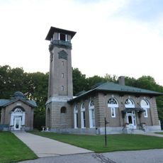
Poland Spring Bottling Plant and Spring House
15.5 km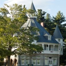
Maine State Building
15.3 km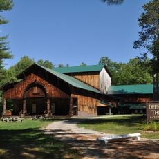
Deertrees Theatre
10.9 km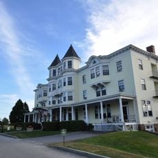
Poland Springs Historic District
14.8 km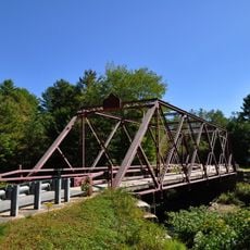
Ryefield Bridge
8.4 km
William F. Perry House
14.2 km
Stone House
14.1 km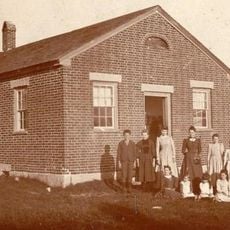
Bell Hill School
1.8 km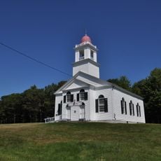
Bell Hill Meetinghouse
1.9 km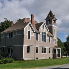
Walker Memorial Hall
14.9 km
Union Church
13.3 km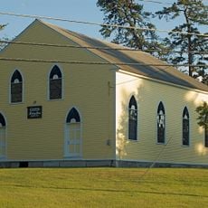
Center Meeting House and Common
8.5 km
Benjamin Cleaves House
14.4 km
Poland Spring Beach House
14 km
John and Maria Webb House
13.9 km
Friends Meetinghouse
12.2 km
Sam Perley Farm
14.3 km
Samuel Penney House
12 km
Nutting Homestead
1 km
Scribner Homestead
5.4 km
George Seaverns House
12.5 km
Dalton Holmes Davis Memorial Library
13.9 km
Norway Historic District
14.9 km
Robinson-Parsons Farm
12.9 km
Manor House
13.1 km
Friends School
8.5 km
Levi Sargent House
8.1 km
Lakeside Grange No. 63
11.9 kmVisited this place? Tap the stars to rate it and share your experience / photos with the community! Try now! You can cancel it anytime.
Discover hidden gems everywhere you go!
From secret cafés to breathtaking viewpoints, skip the crowded tourist spots and find places that match your style. Our app makes it easy with voice search, smart filtering, route optimization, and insider tips from travelers worldwide. Download now for the complete mobile experience.

A unique approach to discovering new places❞
— Le Figaro
All the places worth exploring❞
— France Info
A tailor-made excursion in just a few clicks❞
— 20 Minutes