
Dennysville, human settlement in Washington County, Maine, United States of America
Location: Washington County
Elevation above the sea: 54 m
GPS coordinates: 44.90361,-67.22861
Latest update: March 15, 2025 01:39

Passamaquoddy Pleasant Point Reservation
15.5 km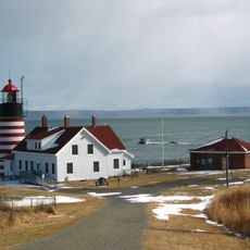
Quoddy Head State Park
23.2 km
Cobscook Bay State Park
9.3 km
Moosehorn National Wildlife Refuge
15.5 km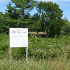
Fort Sullivan
18.9 km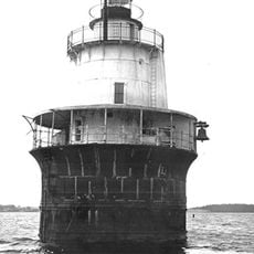
Lubec Channel Light
21 km
Shackford Head State Park
16.6 km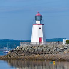
St. Andrews North Point Lighthouse
23.1 km
McCurdy Smokehouse
19.9 km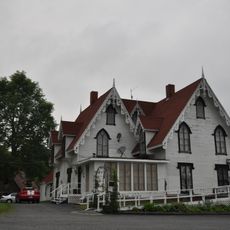
Henrietta Brewer House
22.1 km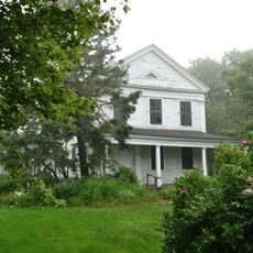
Jeremiah Fowler House
19.6 km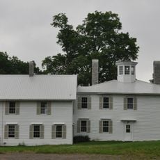
The Mansion House
22.3 km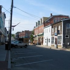
Eastport Historic District
19.3 km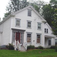
Charles Best House
6.5 km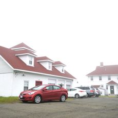
West Quoddy Lifesaving Station
22.8 km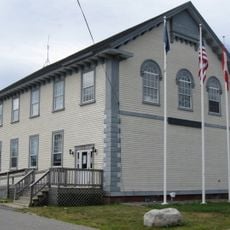
Eastport City Hall
18.8 km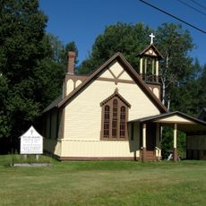
Grace Episcopal Church
22.3 km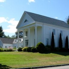
John N.M. Brewer House
21.9 km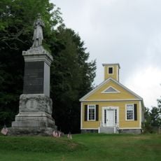
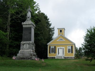
Dennysville Historic District
374 m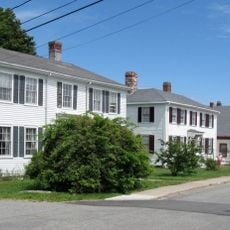
Boynton Street Historic District
19.1 km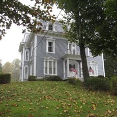
James R. Talbot House
22.4 km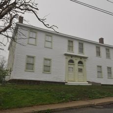
Daniel Young House
19.6 km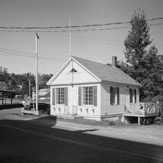
East Machias Historic District
22.5 km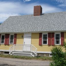
Todd House
19.2 km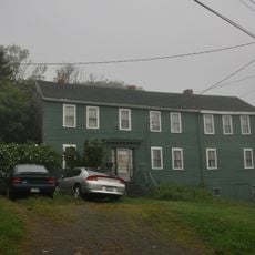
Chaloner House
19.8 km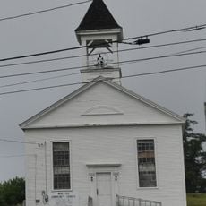
Union Meeting House
13.2 km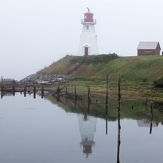
Mulholland Point Lighthouse
20.2 km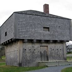
St. Andrews Blockhouse
23.4 kmVisited this place? Tap the stars to rate it and share your experience / photos with the community! Try now! You can cancel it anytime.
Discover hidden gems everywhere you go!
From secret cafés to breathtaking viewpoints, skip the crowded tourist spots and find places that match your style. Our app makes it easy with voice search, smart filtering, route optimization, and insider tips from travelers worldwide. Download now for the complete mobile experience.

A unique approach to discovering new places❞
— Le Figaro
All the places worth exploring❞
— France Info
A tailor-made excursion in just a few clicks❞
— 20 Minutes