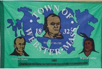
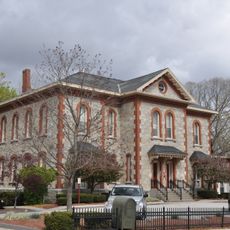
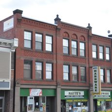
Webster, city in Massachusetts, United States
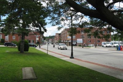
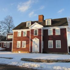
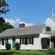
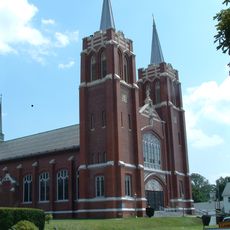
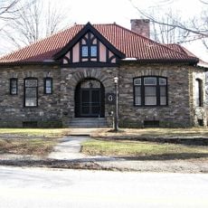
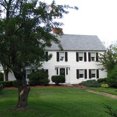
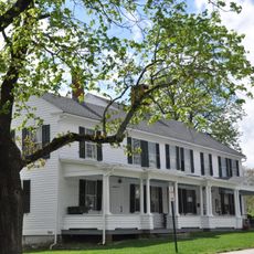
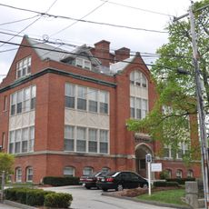
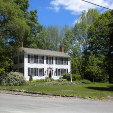
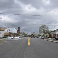
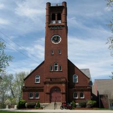
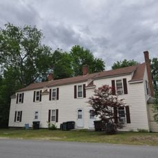
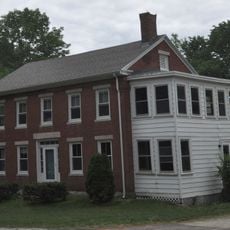
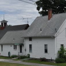
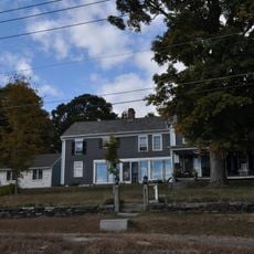
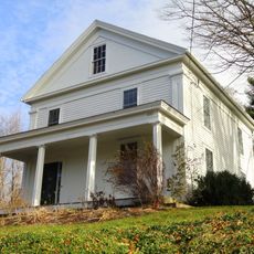
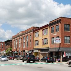
Webster is a town located in Worcester County in Massachusetts that functions as a local administrative center for the surrounding region. The community features residential neighborhoods, small businesses, and public facilities that support everyday life for its residents.
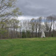
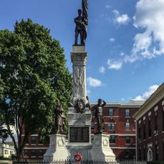
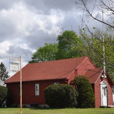
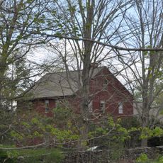
The town was established in the 19th century and initially developed around agricultural and craft activities. It later grew through industrial development, which shaped the community structure that exists today.
The town is easily accessible by car or public transportation from the surrounding region. Visitors will find basic amenities including shops, restaurants, and parking for a convenient stay.
The community of curious travelers
AroundUs brings together thousands of curated places, local tips, and hidden gems, enriched daily by 60,000 contributors worldwide.