
Arietta, human settlement in Hamilton County, New York, United States of America
Location: Hamilton County
Inception: 1827
Elevation above the sea: 689 m
Website: http://www.townofarietta.com/
Website: http://townofarietta.com
GPS coordinates: 43.24611,-74.51778
Latest update: April 12, 2025 22:11
Johnson Hall State Historic Site
27.8 km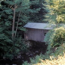
Copeland Bridge
34 km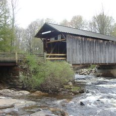
Salisbury Center Bridge
24.9 km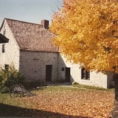
Fort Klock
31 km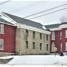
Tryon County Jail
29.6 km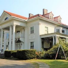
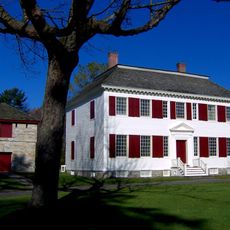
Knox Mansion
29.7 km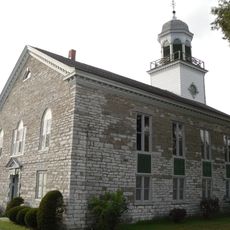
Reformed Dutch Church of Stone Arabia
33.9 km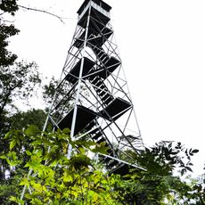
Kane Mountain Fire Observation Station
7.3 km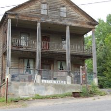
Barker General Store
33.6 km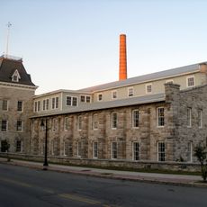
Dolge Company Factory Complex
26 km
Gloversville Free Library
26 km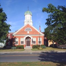
Fulton County Courthouse
29.1 km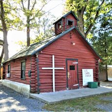
Log Cabin Church
29.1 km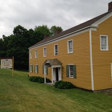
Nellis Tavern
30.4 km
Northville Historic District
28.2 km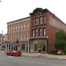
Downtown Gloversville Historic District
25.9 km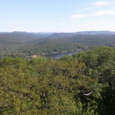
Shaker Mountain Wild Forest
14.2 km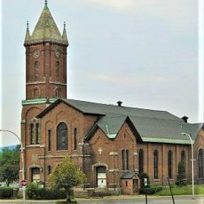
First United Methodist Church
25.7 km
Augustus Frisbie House
24.7 km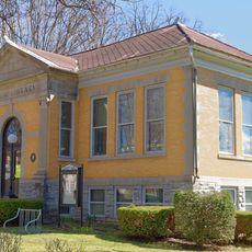
Margaret Reaney Memorial Library
30.6 km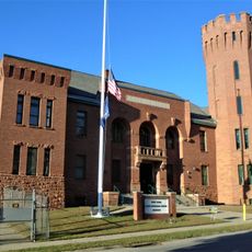
Gloversville Armory
26.1 km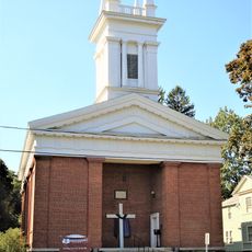
Kingsboro Historic District
24.8 km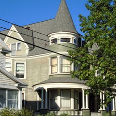
Gustav Levor House
25.8 km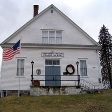
Salisbury Center Grange Hall
24.8 km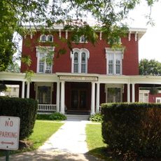
Bates-Englehardt Mansion
30.3 km
Hamilton County Courthouse Complex
26.4 km
Menge House Complex
26.6 km
United States Post Office (Dolgeville, New York)
26.3 kmReviews
Visited this place? Tap the stars to rate it and share your experience / photos with the community! Try now! You can cancel it anytime.
Discover hidden gems everywhere you go!
From secret cafés to breathtaking viewpoints, skip the crowded tourist spots and find places that match your style. Our app makes it easy with voice search, smart filtering, route optimization, and insider tips from travelers worldwide. Download now for the complete mobile experience.

A unique approach to discovering new places❞
— Le Figaro
All the places worth exploring❞
— France Info
A tailor-made excursion in just a few clicks❞
— 20 Minutes