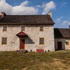
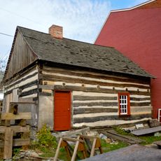
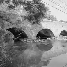
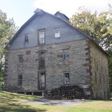
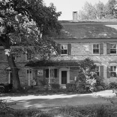
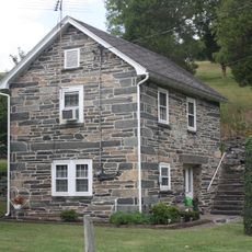
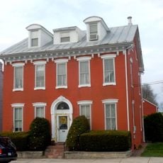
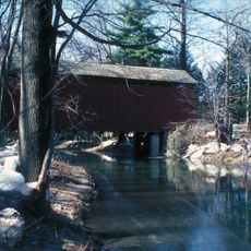
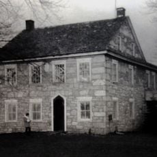
Bethel, census-designated place in Berks County, Pennsylvania
Location: Bethel Township
Shares border with: Washington Township
GPS coordinates: 40.47444,-76.29139
Latest update: June 18, 2025 17:07
Swatara State Park
16.3 km
Koziar's Christmas Village
14.2 km
Conrad Weiser Homestead
16.2 km
Strausstown
9.2 km
Light's Fort
18.2 km
Salem Evangelical Lutheran Church
18.7 km
Tulpehocken Manor Plantation
13 km
Heinrich Zeller House
15 km
Swatara Furnace
18.5 km
St. Lukes Episcopal Church
18.7 km
Nutting Hall
11.3 km
Tabor Reformed Church
19.2 km
Isaac Meier Homestead
11.8 km
Chestnut Street Log House
19.2 km
Pine Grove Historic District
11.2 km
S Bridge
12.9 km
Josiah Funck Mansion
18.5 km
Tulpehocken Creek Historic District
13 km
House of Miller at Millbach
16.7 km
Jacob Leiby Farm
15.3 km
Womelsdorf Historic District
15.2 km
Stouchsburg Historic District
15.2 km
John Nicholas and Elizabeth Moyer House
11.2 km
Peter Spicker House
11.4 km
Schuylkill County Bridge No. 113
7.9 km
Schuylkill County Bridge No. 114
8.3 km
Seyfert Mill
14.5 km
John Immel House
11.9 kmReviews
Visited this place? Tap the stars to rate it and share your experience / photos with the community! Try now! You can cancel it anytime.
Discover hidden gems everywhere you go!
From secret cafés to breathtaking viewpoints, skip the crowded tourist spots and find places that match your style. Our app makes it easy with voice search, smart filtering, route optimization, and insider tips from travelers worldwide. Download now for the complete mobile experience.
A unique approach to discovering new places❞
— Le Figaro
All the places worth exploring❞
— France Info
A tailor-made excursion in just a few clicks❞
— 20 Minutes