Calumet Shoreline, Ancient sand ridge along Lake Michigan, US
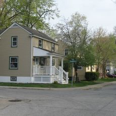
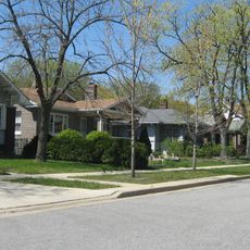
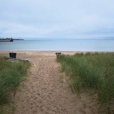
The Calumet Shoreline is a geological ridge that runs along Ridge Road south of Chicago, marking where Lake Michigan once reached thousands of years ago. This ancient shoreline stands noticeably higher than the surrounding land and sits several miles back from the current water's edge.
This ridge formed around 10,000 years ago when melting glaciers filled what is now the Great Lakes region during the last ice age. The release of glacial meltwater created a much larger lake that gradually shrank to its present size.
The name comes from the Calumet Region in Northern Indiana, reflecting the connection between this ancient geological formation and the historical Calumet River system. This link shows how water shaped both the land and the way people refer to places.
The ridge can be spotted at different distances from the lake depending on where you are along this stretch of coastline. Bring appropriate clothing for the season and be prepared for variable weather typical of the Lake Michigan area.
The ancient shoreline sits noticeably higher than today's lake, revealing how much larger the water once was. Sediment layers at the base of this ridge preserve evidence of a very different glacial lake that once covered much of the region.
The community of curious travelers
AroundUs brings together thousands of curated places, local tips, and hidden gems, enriched daily by 60,000 contributors worldwide.