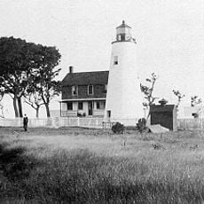
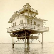
Captain John Smith Chesapeake National Historic Trail, National Historic water trail along Chesapeake Bay, United States.
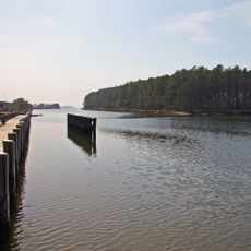
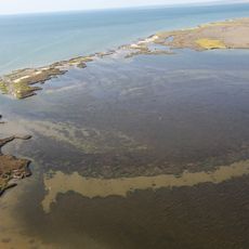
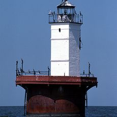
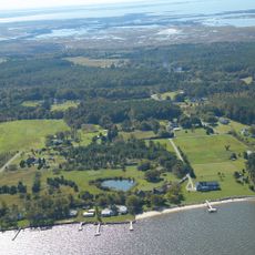
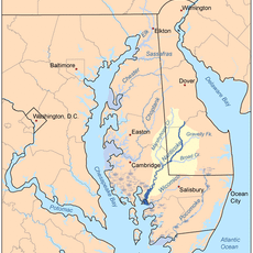
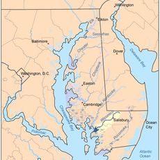
The Captain John Smith Chesapeake National Historic Trail is a water route that winds through the bays, rivers, and wetlands of the Chesapeake region. The path follows waterways that connect different historic sites and communities across Maryland and neighboring areas.
The route documents Captain John Smith's exploration voyages between 1607 and 1609, when he mapped the waterways and settlements of the Chesapeake region. His records and observations from those years remain central to understanding this early period of contact and trade.
The trail connects places that held deep importance for the Powhatan Confederacy and other Native peoples of the region. Visitors walking or paddling here can sense the long relationship these communities had with the water and land.
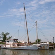
The trail can be explored by water using canoes or boats, or by foot along shoreline paths at various points. Information centers at multiple locations provide maps and explain the historical background of the sites you visit.
Visitors can use interactive digital mapping tools to explore the entire route from home before making the actual journey. These online resources help plan which sections to visit and what to expect at different stopping points along the water.
The community of curious travelers
AroundUs brings together thousands of curated places, local tips, and hidden gems, enriched daily by 60,000 contributors worldwide.