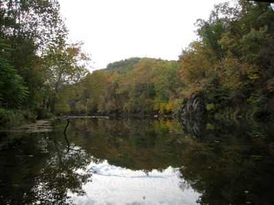
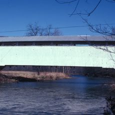
Cacapon River, Mountain river in eastern West Virginia, United States
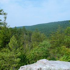
Cacapon River is a mountain river in eastern West Virginia that flows northward through Hardy, Hampshire, and Morgan counties for approximately 81 miles. It eventually joins the Potomac River and features a branching system with several tributary sections.
George Washington surveyed land plots along the river between 1749 and 1761, marking the beginning of early colonial settlement in the region. These surveys documented claims and boundaries that shaped European presence in the valley during the 18th century.
The river's name comes from the Shawnee language and refers to the healing properties of its waters that indigenous people valued. Today visitors can sense this cultural connection along the banks, where the relationship between people and water remains palpable.
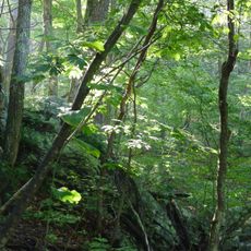
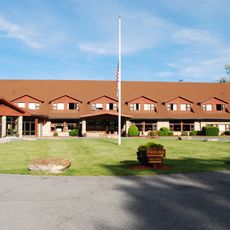
Multiple public access points along the river allow visitors to fish, kayak, and observe wildlife in their natural setting. Conditions and water flow vary by season, so checking local information before planning your visit helps with preparation and safety.
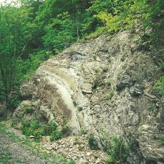
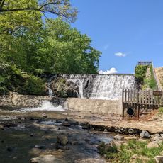
The river has a notable geological feature where the Lost River flows underground near Sandy Ridge before emerging at the surface as the main channel. This underground section creates an unusual hydrological system that reveals the complex water pathways beneath the valley floor.
The community of curious travelers
AroundUs brings together thousands of curated places, local tips, and hidden gems, enriched daily by 60,000 contributors worldwide.