Central New Bedford Historic District

Log in to your account

AroundUs is a community-driven map of interesting places, built by curious explorers like you. It grows with every review, story, and photo you share.
Connect to save your favorite spots, contribute locations, and create personalized routes.
Continue with Google
Continue with Apple
Continue with X
Continue with Facebook
Continue with email
By continuing, you accept our Terms and Conditions and our Privacy Policy
Create an account
Add to collection
Map
Suggest a change
Share

Central New Bedford Historic District, Historic district in New Bedford, Massachusetts, United States

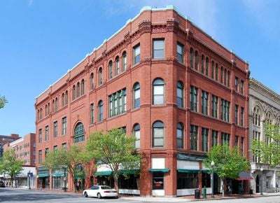
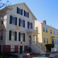
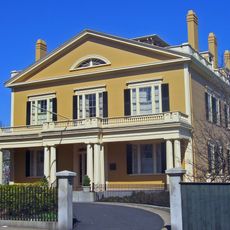
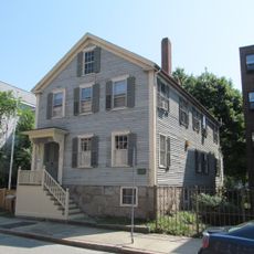
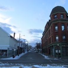
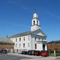
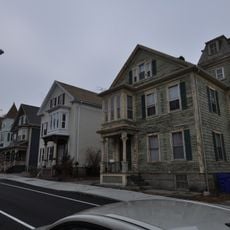
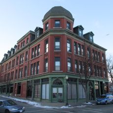
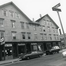
The Central New Bedford Historic District is a historic area in New Bedford containing 79 buildings that show Classical Revival, Greek Revival, and Romanesque Revival styles. The structures occupy a large central zone and display the architectural variety that reflects different periods of prosperity.

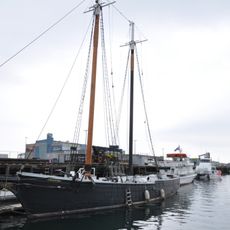
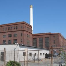
The district took shape in the late 18th century as a center of whaling commerce, an industry that brought great wealth to the city. As textile manufacturing rose in the 19th century, the economic foundation shifted, yet buildings from both eras still define the neighborhood today.

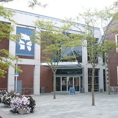
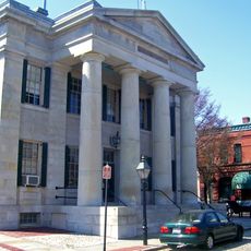
The City Hall and Free Public Library dominate the district's center and reflect how civic pride was expressed through grand public buildings. These structures show how the community invested in shared spaces when wealth from shipping and manufacturing was at its peak.

The district sits in the city center and is easy to explore on foot since the buildings are closely grouped and the streets are manageable. A daytime walk works well for viewing the exteriors from the street level, and you can move at a leisurely pace to notice architectural details.

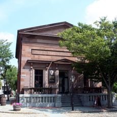
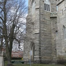
The 1836 Customhouse, designed by Robert Mills, is the oldest still-operating customs building in the district and shows the early work of a renowned American architect. Its simple, functional design contrasts with the more elaborate public buildings constructed later.

Location: New Bedford

GPS coordinates: 41.63500,-70.92750

Latest update: December 14, 2025 18:03

Photos
Around this place
New Bedford Whaling Museum
United States of America

New Bedford Whaling Museum

359 m
Effie M. Morrissey
United States of America

Effie M. Morrissey

583 m
New Bedford Whaling National Historical Park
United States of America

New Bedford Whaling National Historical Park

352 m
Seamen's Bethel
United States of America

Seamen's Bethel

307 m
Nathan and Mary Johnson properties
United States of America

Nathan and Mary Johnson properties

241 m
New Bedford Historic District
United States of America

New Bedford Historic District

279 m
New Bedford – Fairhaven Bridge
United States of America

New Bedford – Fairhaven Bridge

954 m
Rotch-Jones-Duff House and Garden Museum
United States of America

Rotch-Jones-Duff House and Garden Museum

530 m
Sgt. William H. Carney House
United States of America

Sgt. William H. Carney House

540 m
Palmer Island Light
United States of America

Palmer Island Light

1.8 km
William J. Rotch Gothic Cottage
United States of America

William J. Rotch Gothic Cottage

648 m
Moreland Terrace Historic District
United States of America

Moreland Terrace Historic District

1.1 km
Fairhaven Bridge Light
United States of America

Fairhaven Bridge Light

1 km
Acushnet Heights Historic District
United States of America

Acushnet Heights Historic District

1.5 km
United States Customhouse
United States of America

United States Customhouse

233 m
Union Baptist Church
United States of America

Union Baptist Church

608 m
County Street Historic District
United States of America

County Street Historic District

502 m
New Bedford Gas and Edison Light Complex
United States of America

New Bedford Gas and Edison Light Complex

748 m
First Baptist Church
United States of America

First Baptist Church

94 m
Merrill's Wharf Historic District
United States of America

Merrill's Wharf Historic District

595 m
North Bedford Historic District
United States of America

North Bedford Historic District

631 m
Old Third District Courthouse
United States of America

Old Third District Courthouse

307 m
New Bedford Marine Commerce Terminal
United States of America

New Bedford Marine Commerce Terminal

1.6 km
Dawson Building
United States of America

Dawson Building

1.7 km
Robert C. Ingraham School
United States of America

Robert C. Ingraham School

1.7 km
Thomas Donaghy School
United States of America

Thomas Donaghy School

1.1 km
Bradford Smith Building
United States of America

Bradford Smith Building

1.8 km
Thompson Street School
United States of America

Thompson Street School

1.5 km
Show the full map
Reviews

Visited this place? Tap the stars to rate it and share your experience / photos with the community! Try now! You can cancel it anytime.

« Central New Bedford Historic District - Historic district in New Bedford, Massachusetts, United States » is provided by Around Us (aroundus.com). Images and texts are derived from Wikimedia project under a Creative Commons license. You are allowed to copy, distribute, and modify copies of this page, under the conditions set by the license, as long as this note is clearly visible.

Discover hidden gems everywhere you go!

From secret cafés to breathtaking viewpoints, skip the crowded tourist spots and find places that match your style. Our app makes it easy with voice search, smart filtering, route optimization, and insider tips from travelers worldwide. Download now for the complete mobile experience.

Around Us App Screenshot

A unique approach to discovering new places

Le Figaro

All the places worth exploring

France Info

A tailor-made excursion in just a few clicks

20 Minutes