Clay Township, township in Decatur County, Indiana
Location: Decatur County
Elevation above the sea: 253 m
GPS coordinates: 39.31278,-85.61917
Latest update: March 6, 2025 05:53

North Christian Church
27.1 km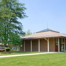
Mabel McDowell Adult Education Center
26.6 km
Decatur County Courthouse
12 km
Moscow Covered Bridge
20 km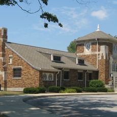
Porter Pool Bathhouse
27.3 km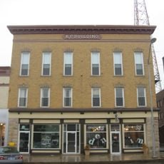
Knights of Pythias Building and Theatre
11.9 km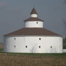
Strauther Pleak Round Barn
12.3 km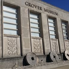
Grover Museum
27.1 km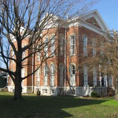
Bright B. Harris House
12.1 km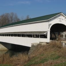
Westport Covered Bridge
17.4 km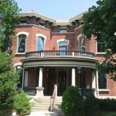
John Hamilton House
27.3 km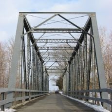
New Hope Bridge
26.8 km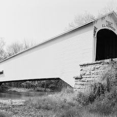
Forsythe Covered Bridge
24 km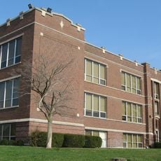
Jerman School
11.8 km
Lora B. Pearson School
26.6 km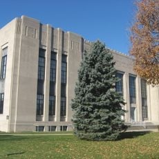
Shelby County Courthouse
26.9 km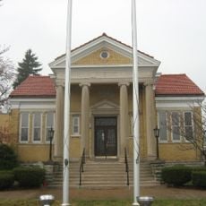
Greensburg Carnegie Public Library
11.9 km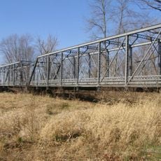
Pugh Ford Bridge
21.2 km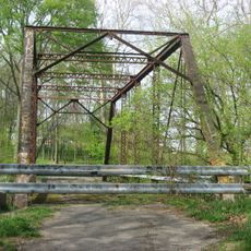
Rush County Bridge No. 188
24.9 km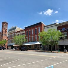
Greensburg Downtown Historic District
12 km
Shelbyville Commercial Historic District
27.1 km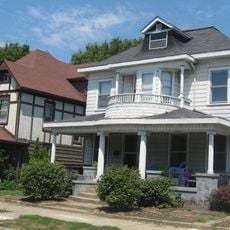
West Side Historic District
27.5 km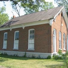
Liberty Township Schoolhouse No. 2
21 km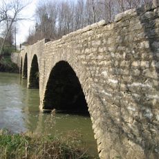
Champ's Ford Bridge
4.8 km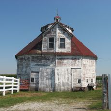
George Rudicel Polygonal Barn
14.4 km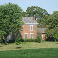
Cooper-Alley House
12.9 km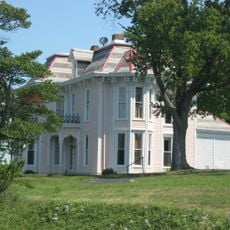
James F. Harcourt House
22.5 km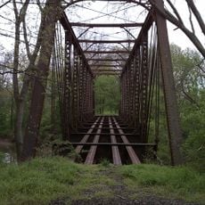
Clifty Creek Bridge
27 kmVisited this place? Tap the stars to rate it and share your experience / photos with the community! Try now! You can cancel it anytime.
Discover hidden gems everywhere you go!
From secret cafés to breathtaking viewpoints, skip the crowded tourist spots and find places that match your style. Our app makes it easy with voice search, smart filtering, route optimization, and insider tips from travelers worldwide. Download now for the complete mobile experience.

A unique approach to discovering new places❞
— Le Figaro
All the places worth exploring❞
— France Info
A tailor-made excursion in just a few clicks❞
— 20 Minutes