Codman Square District, Historic district in Dorchester, Boston, United States.
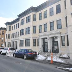
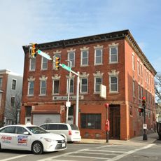
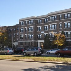
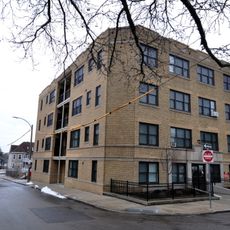
Codman Square District is a historic district in Dorchester, Boston, centered at the intersection of Talbot Avenue and Washington Street and made up of four protected properties. The buildings come from different periods and occupy each corner of this busy crossing.
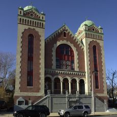
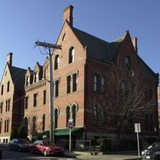
The Second Church of Dorchester, built in 1806, was the first structure to anchor this intersection and remains standing today. Over the following decades, other buildings were added one by one, gradually turning this corner into a neighborhood landmark.
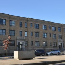
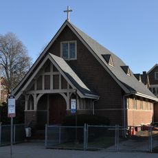
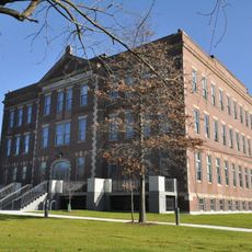
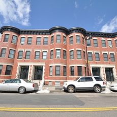
The Boston Public Library branch and the former Girls Latin Academy stand side by side at this intersection, showing how education shaped the daily life of this neighborhood. Both buildings remain visible today and give a sense of what community life looked like in the early 20th century.
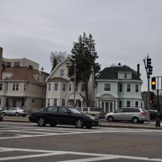
The district sits at a well-connected intersection in the southern part of Boston and is easy to reach by public transit. Walking around the four corners of the crossing is enough to take in all the buildings at once.
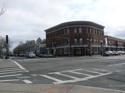
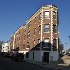
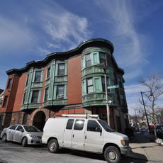
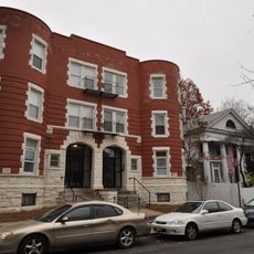
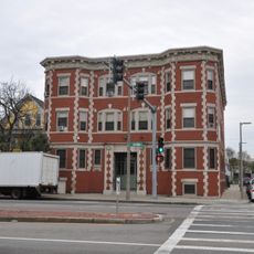
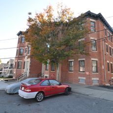
The Lithgow Building from 1899 at the southeastern corner of the intersection features a Classical Revival brick facade with ornamental details that most visitors walk past without noticing. It is the most recent of the four buildings yet carries the most decorative work on its exterior.
The community of curious travelers
AroundUs brings together thousands of curated places, local tips, and hidden gems, enriched daily by 60,000 contributors worldwide.