
Namangan, Administrative center in Fergana Valley, Uzbekistan
Namangan is the administrative center at the northern edge of the Fergana Valley near the Kyrgyzstan border. The city spreads across a broad plain surrounded by agricultural land that shapes the rhythm of regional commerce.
The settlement grew in the 15th century around salt mining operations, with the name derived from the Persian term for 'salt mine'. Earthquakes in neighboring areas brought migrants who expanded the population and transformed it into a regional center.
The city serves as an educational hub where thousands of students shape daily life and local conversations. Universities and schools form the backbone of how residents see their community's future.
The city connects to other valley towns through the Fergana railway, making travel between regional centers straightforward. Using local transport helps you get around the different neighborhoods and nearby market areas easily.
Cotton processing drives the local economy through numerous small workshops that blend traditional and modern techniques. These enterprises are scattered throughout the city and form the backbone of employment for residents.
Location: Namangan Region
Inception: 1610
Elevation above the sea: 450 m
Website: http://namangan.uz
GPS coordinates: 40.99965,71.67262
Latest update: December 6, 2025 21:20
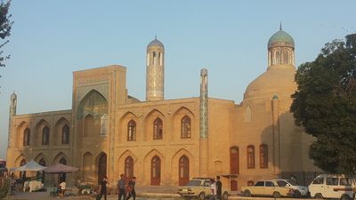

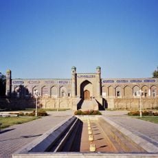
Palace of Khudáyár Khán
80.5 km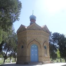
Chapel of Saint Alexander Nevsky
74.1 km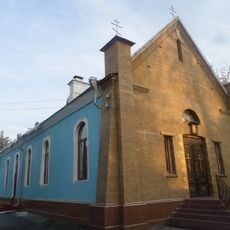
Church of St. Sergiuy Radonezhkogo in Fergana
68.7 km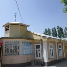
Church in Andijan
64 km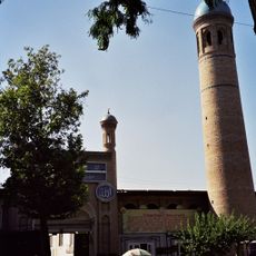
Khonakhan Mosque
58.4 km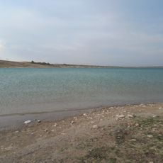
Karkidon Reservoir
70.8 km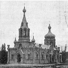
Храм Николая Чудотворца
69.6 km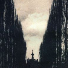
Church of St. Archangel Michael in Namangan 1894
447 m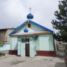
Church of St. Archangel Michael in Namangan 1952
1.4 km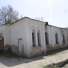
Church of St. Nicholay Chudotvortsa in Andijan
63.9 km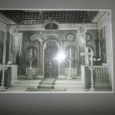
Church of Saints Constantine and Helena
81 km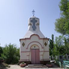
Chapel of St. George in Andijan
65.4 km
Akbarobod natural monument
67.5 km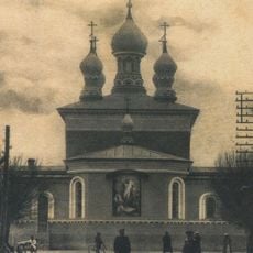
Saint Nicholas church
78.5 km
Chust natural monument
51.2 km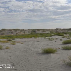
Mingbulak natural monument
37.3 km
Church of St. Sergiy Radonezhckogo in Andijan
63.7 km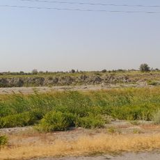
Bostonbuva natural monument
63.3 km
Yazyavan natural monument
38 km
Zilkha natural monument
70.8 km
Rodnik Deng-Bulak
80.4 km
Shah Fazil Mausoleum
47.8 km
Rodnik Tal-Bulak
79.3 km
Rodnik Burzhu-Bulak
46.9 km
Rodnik Kara-Bulak (tubud sa Kirgistan, Jalal-Abad oblast, lat 41,61, long 71,99)
72.5 km
Rodnik Kosh-Bulak
57.3 km
Rodnik Ak-Tash (tubud sa Kirgistan, Jalal-Abad oblast)
63.8 km
Rodnik Kyzyl-Alma
66.1 kmVisited this place? Tap the stars to rate it and share your experience / photos with the community! Try now! You can cancel it anytime.
Discover hidden gems everywhere you go!
From secret cafés to breathtaking viewpoints, skip the crowded tourist spots and find places that match your style. Our app makes it easy with voice search, smart filtering, route optimization, and insider tips from travelers worldwide. Download now for the complete mobile experience.

A unique approach to discovering new places❞
— Le Figaro
All the places worth exploring❞
— France Info
A tailor-made excursion in just a few clicks❞
— 20 Minutes